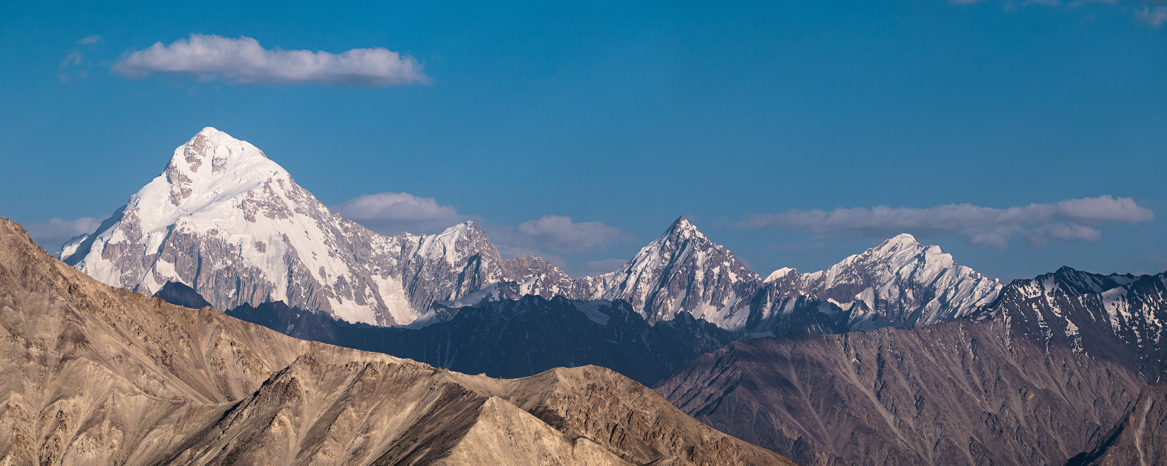
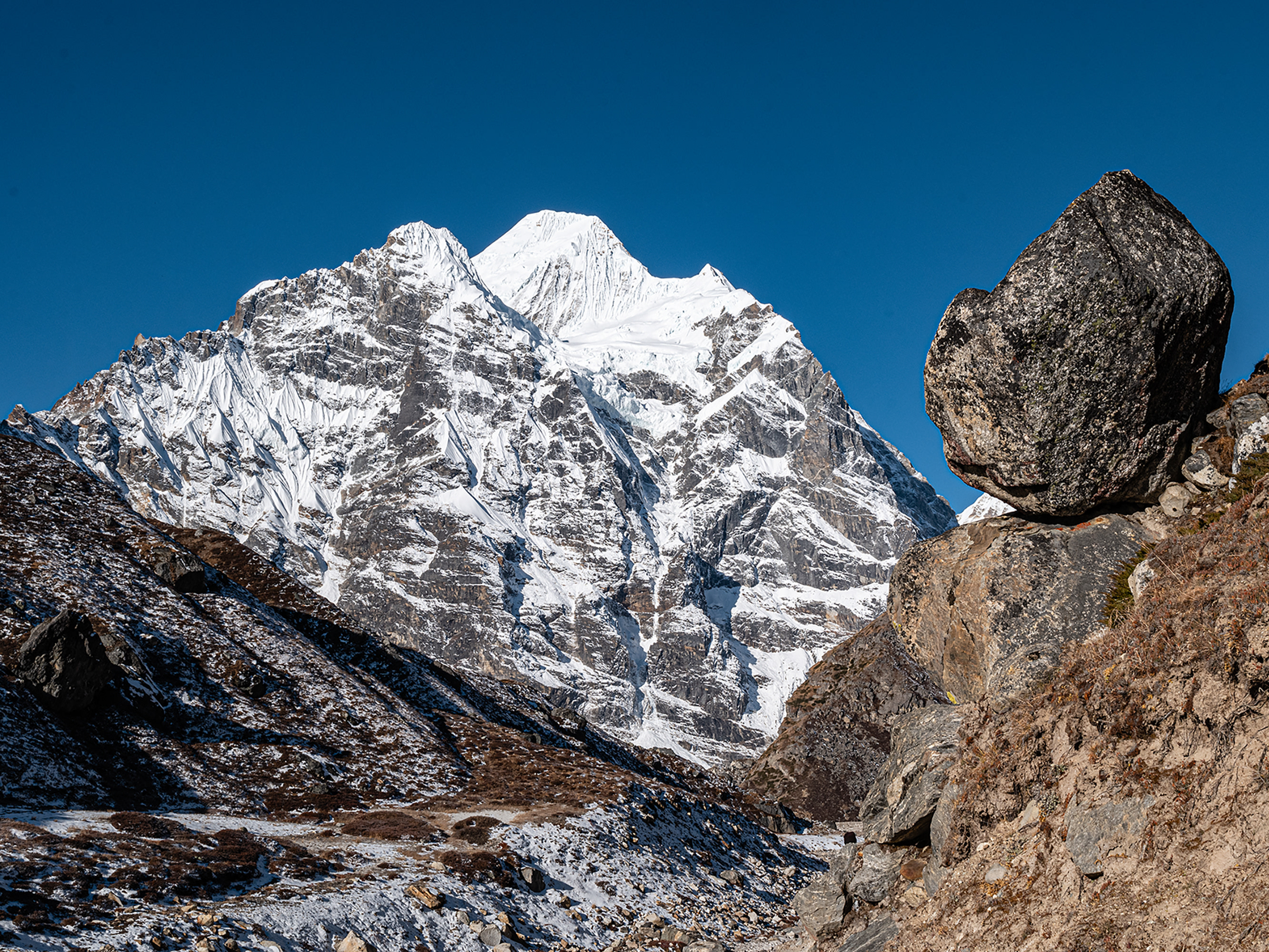
The Pamir, the largest mountain knot in the world, has an area of about 120,000 square kilometres, with about 1% of the area glaciated. The extreme north of the folded mountains belongs to Kyrgyzstan, the east to China, the south to Afghanistan, the rest to Tajikistan. The Pamir connects the great mountain ranges of Tianshan in the north, the Karakorum in the south, Kunlun Shan in the southeast, and Hindukush in the southeast. East of the Pamir lies the Tibetan highlands, which is also called the roof of the world.
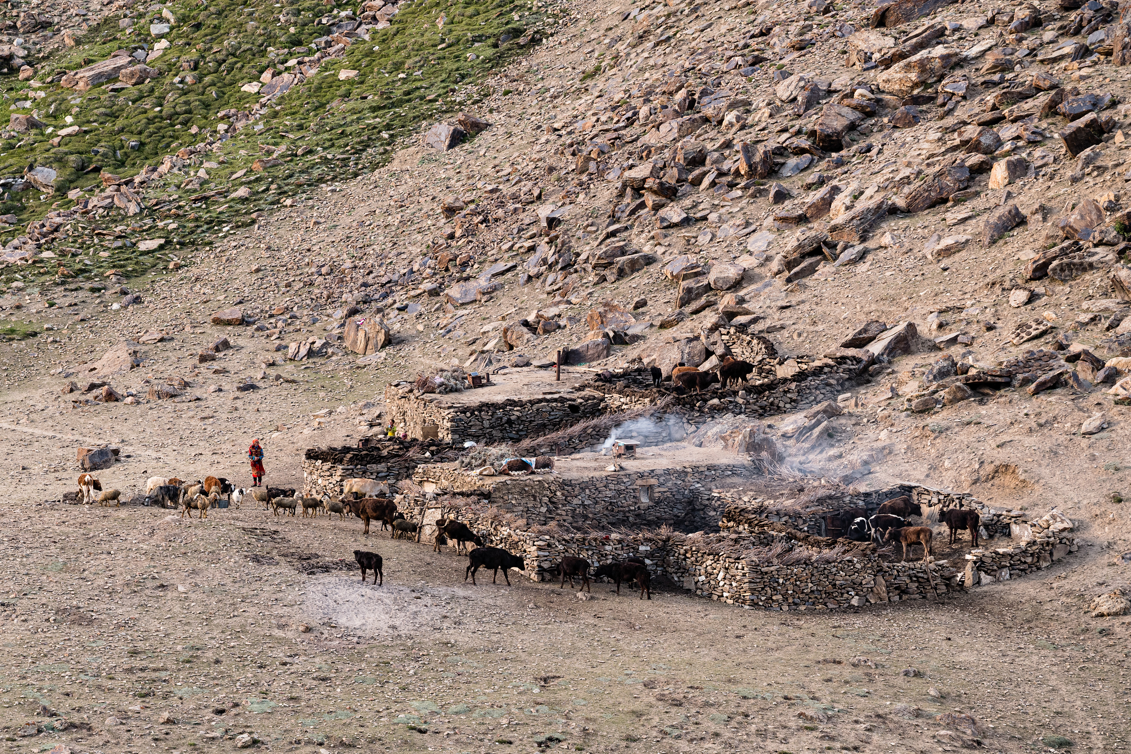
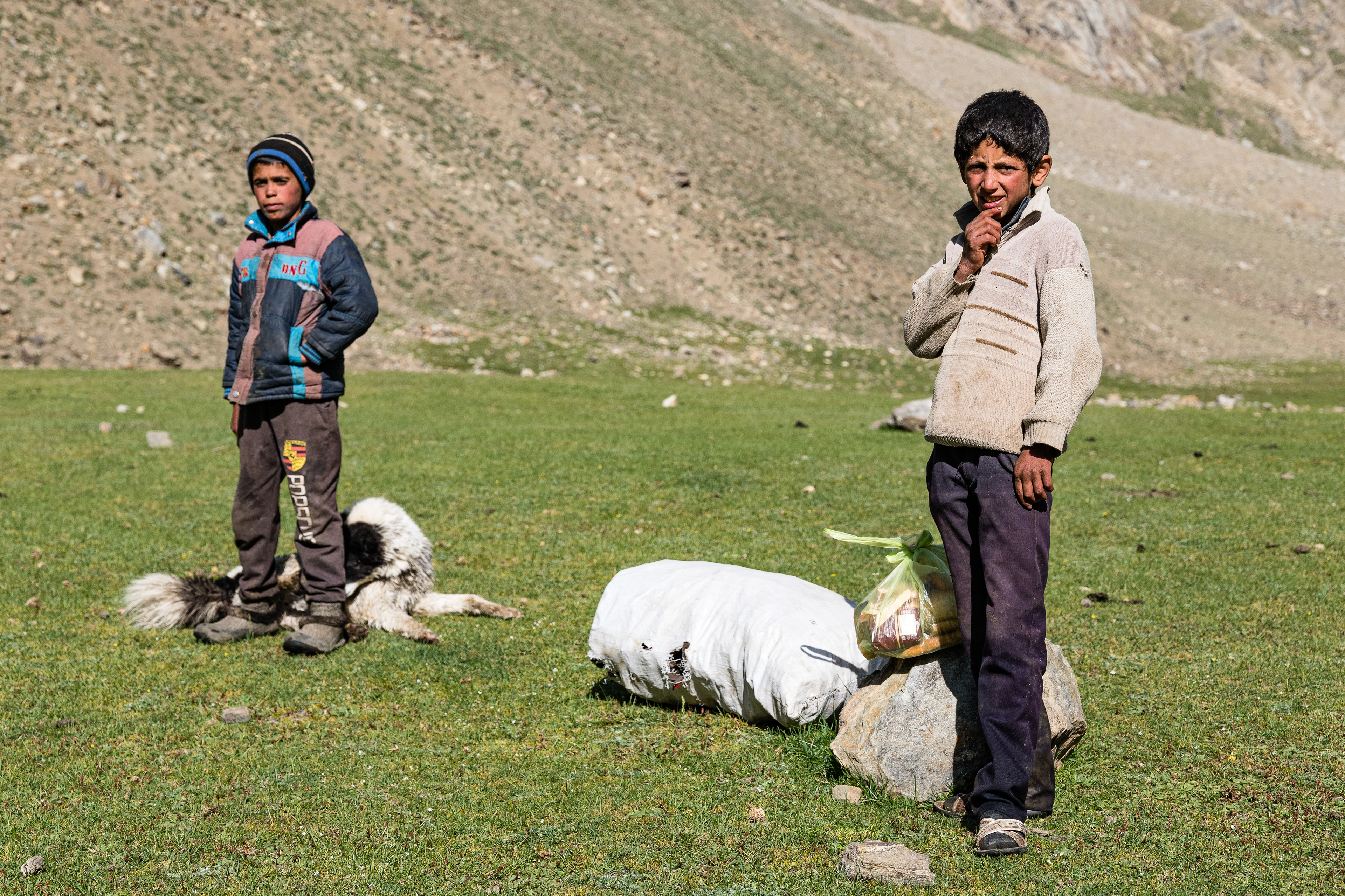
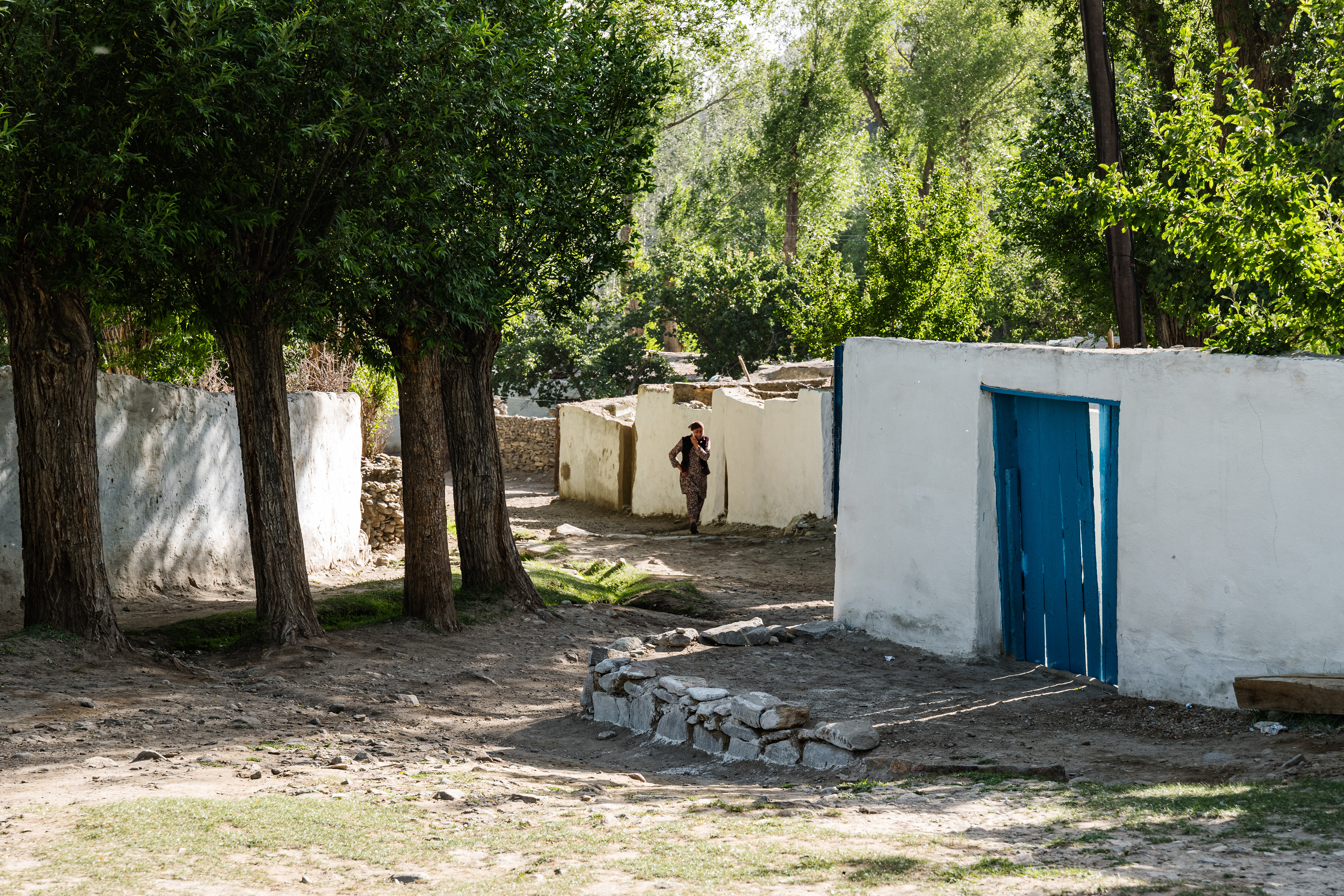
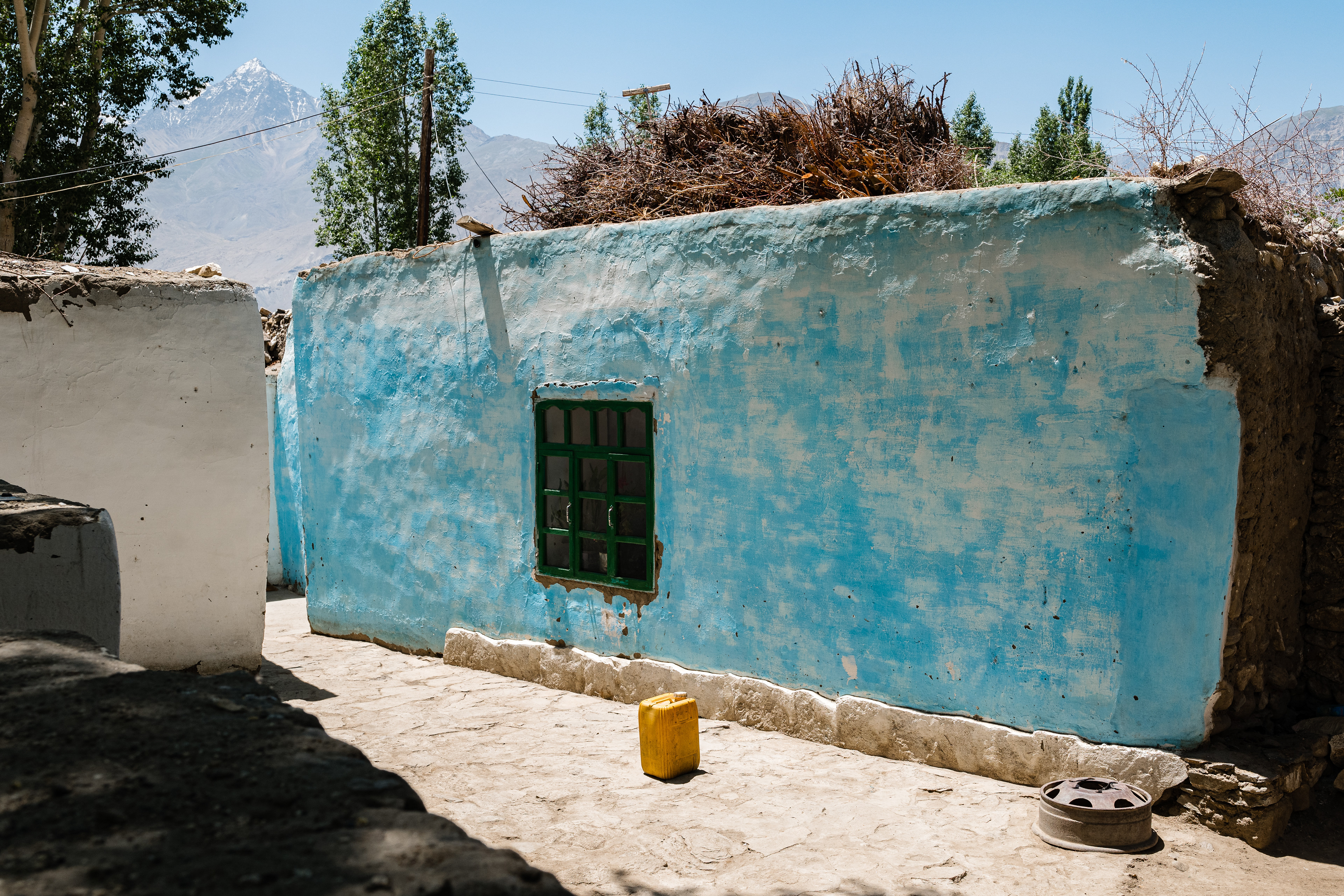
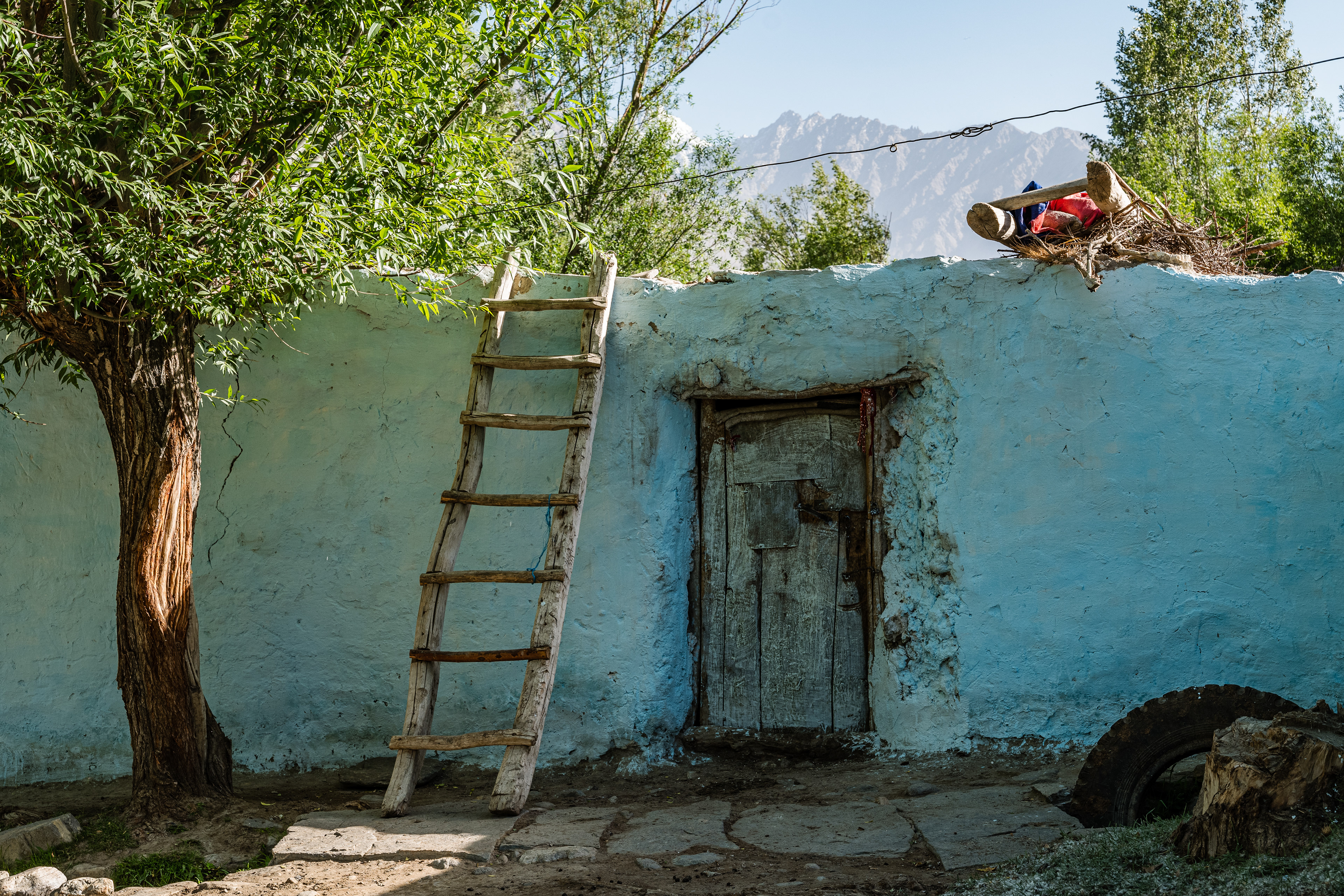
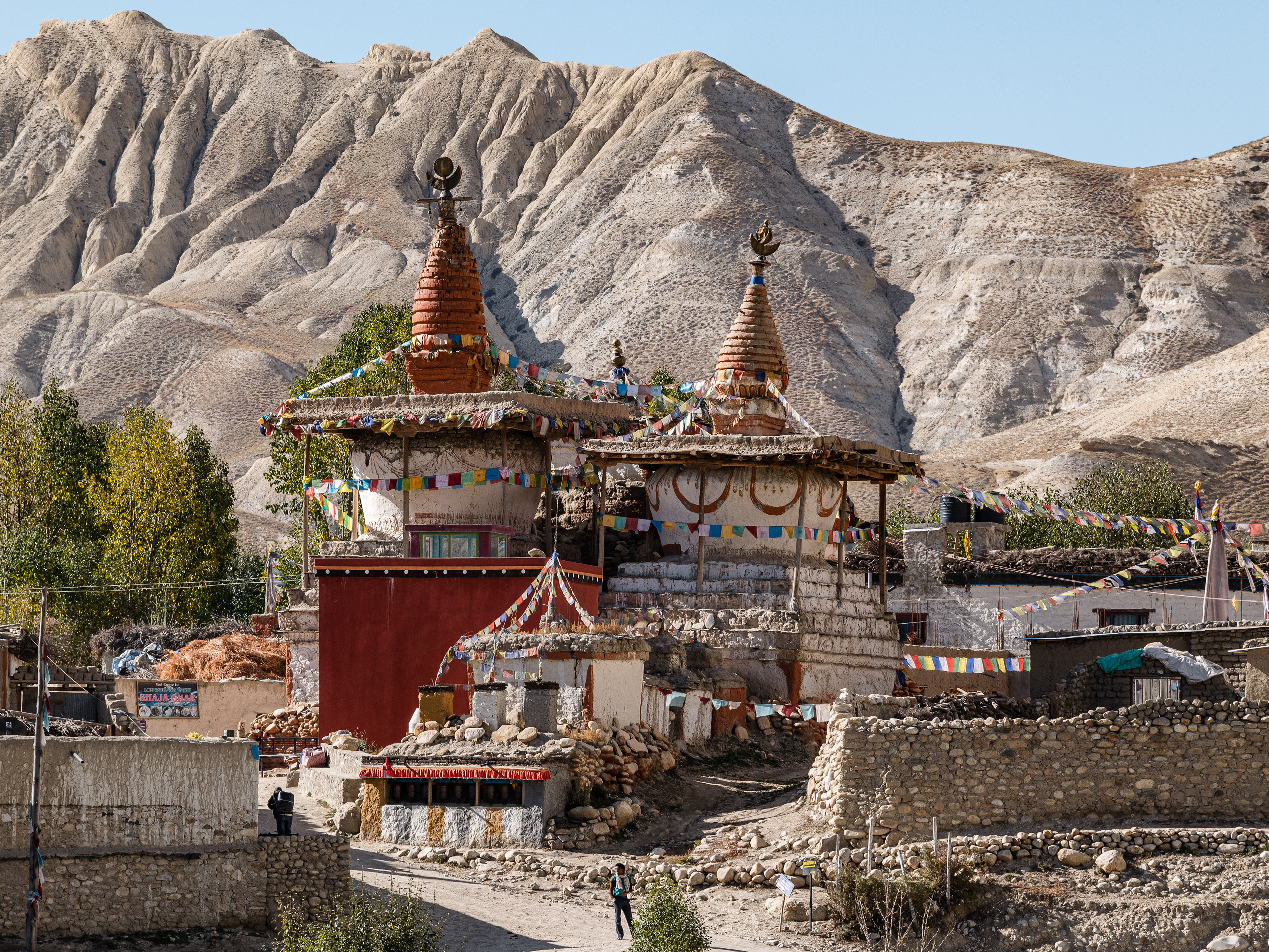
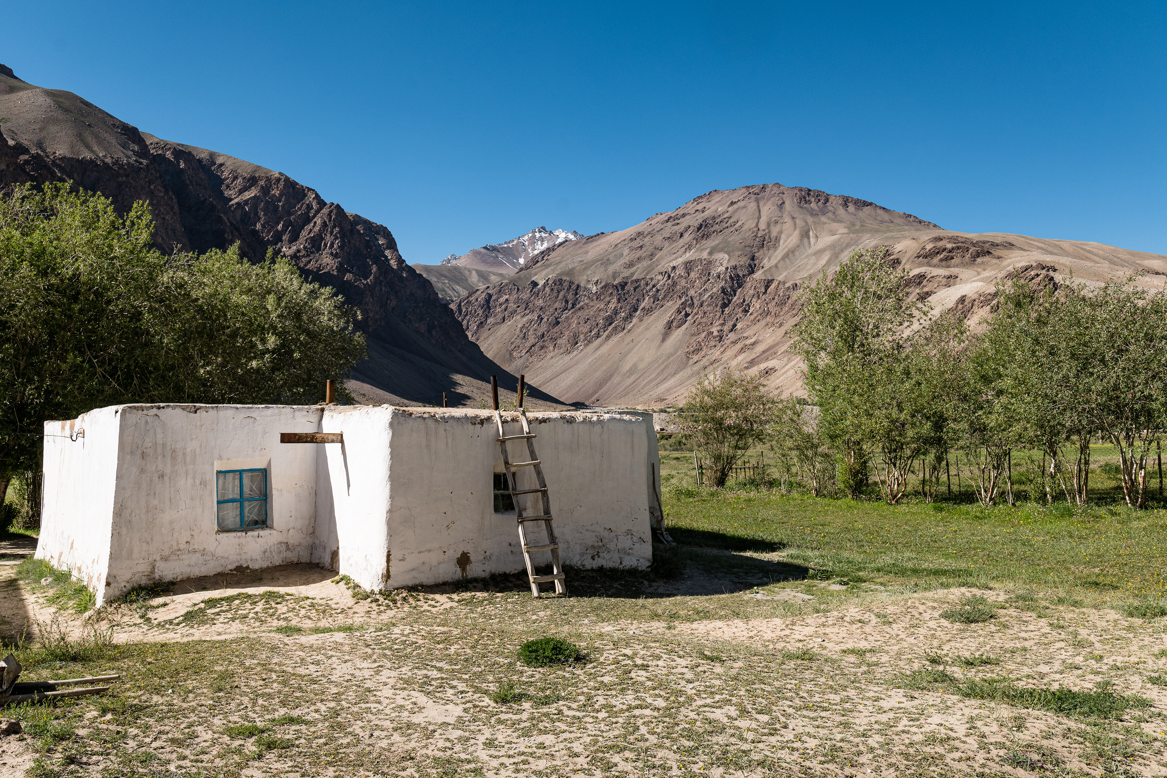
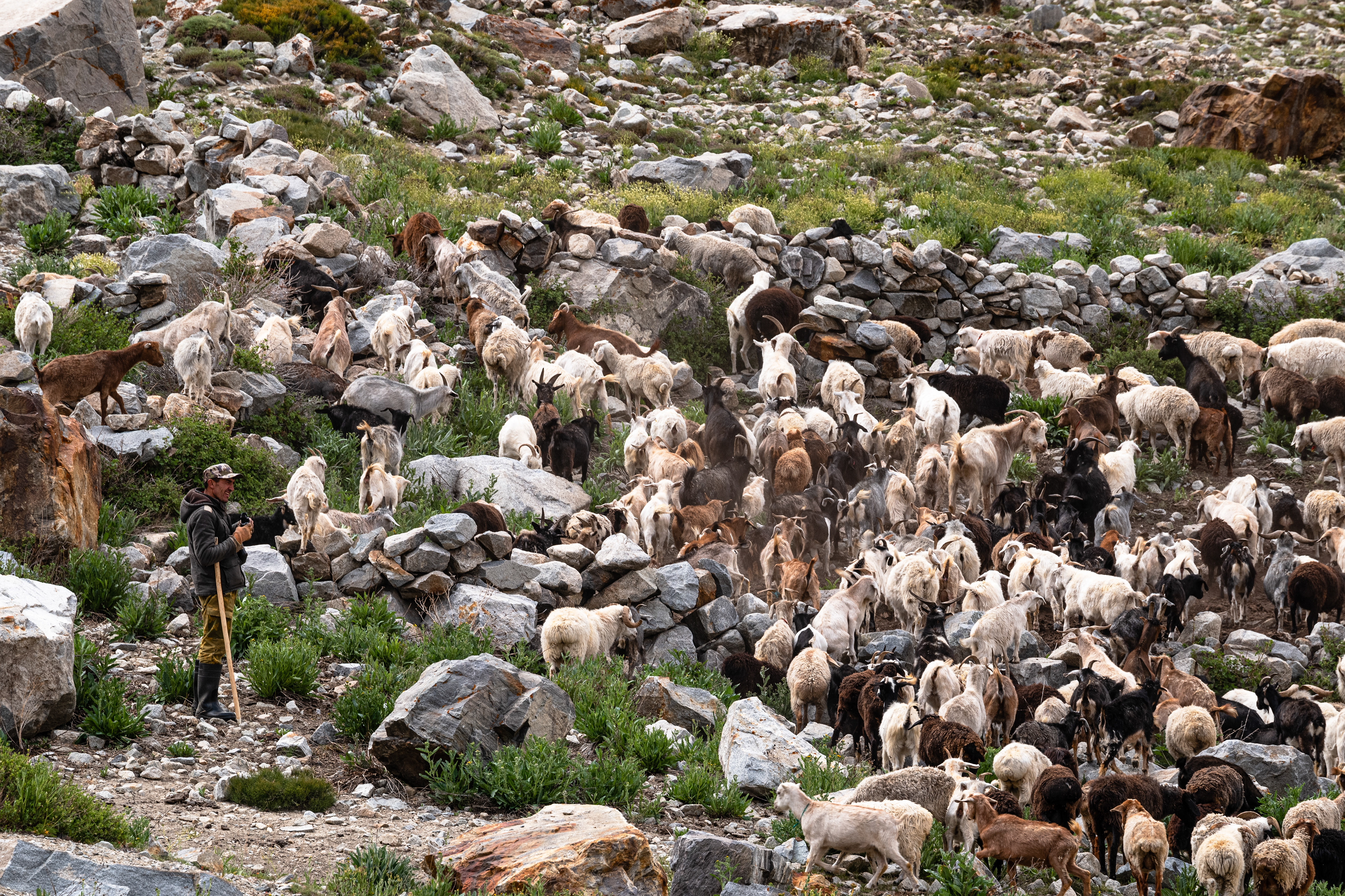
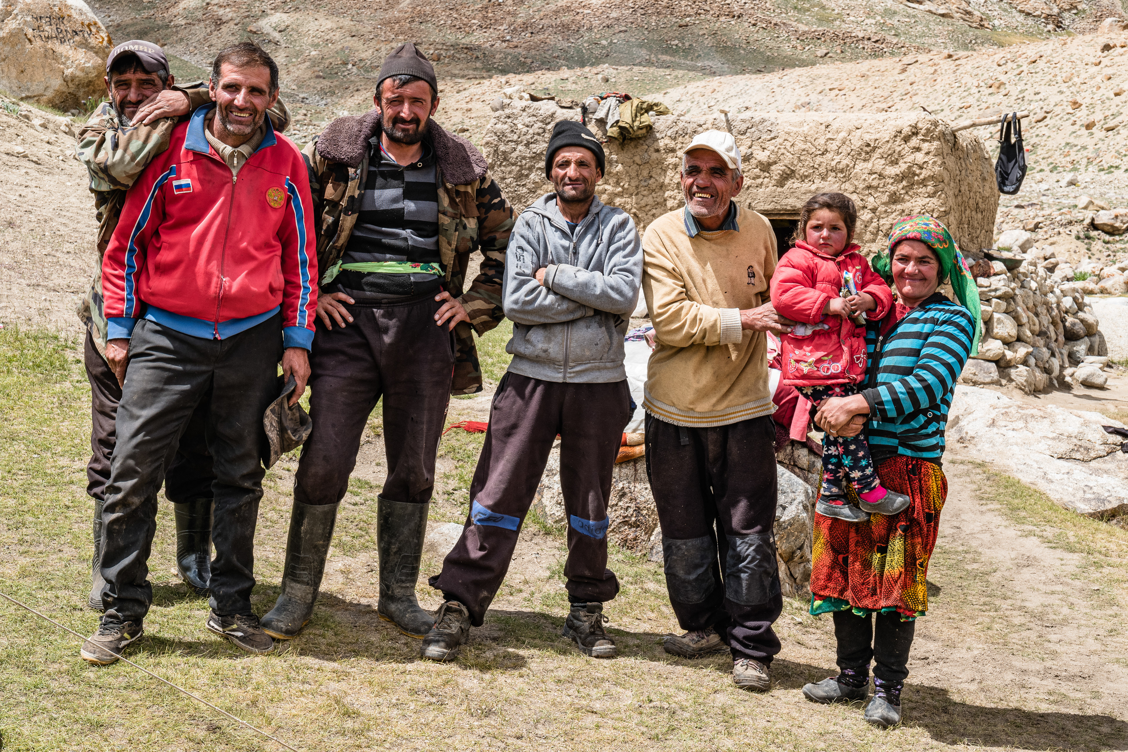
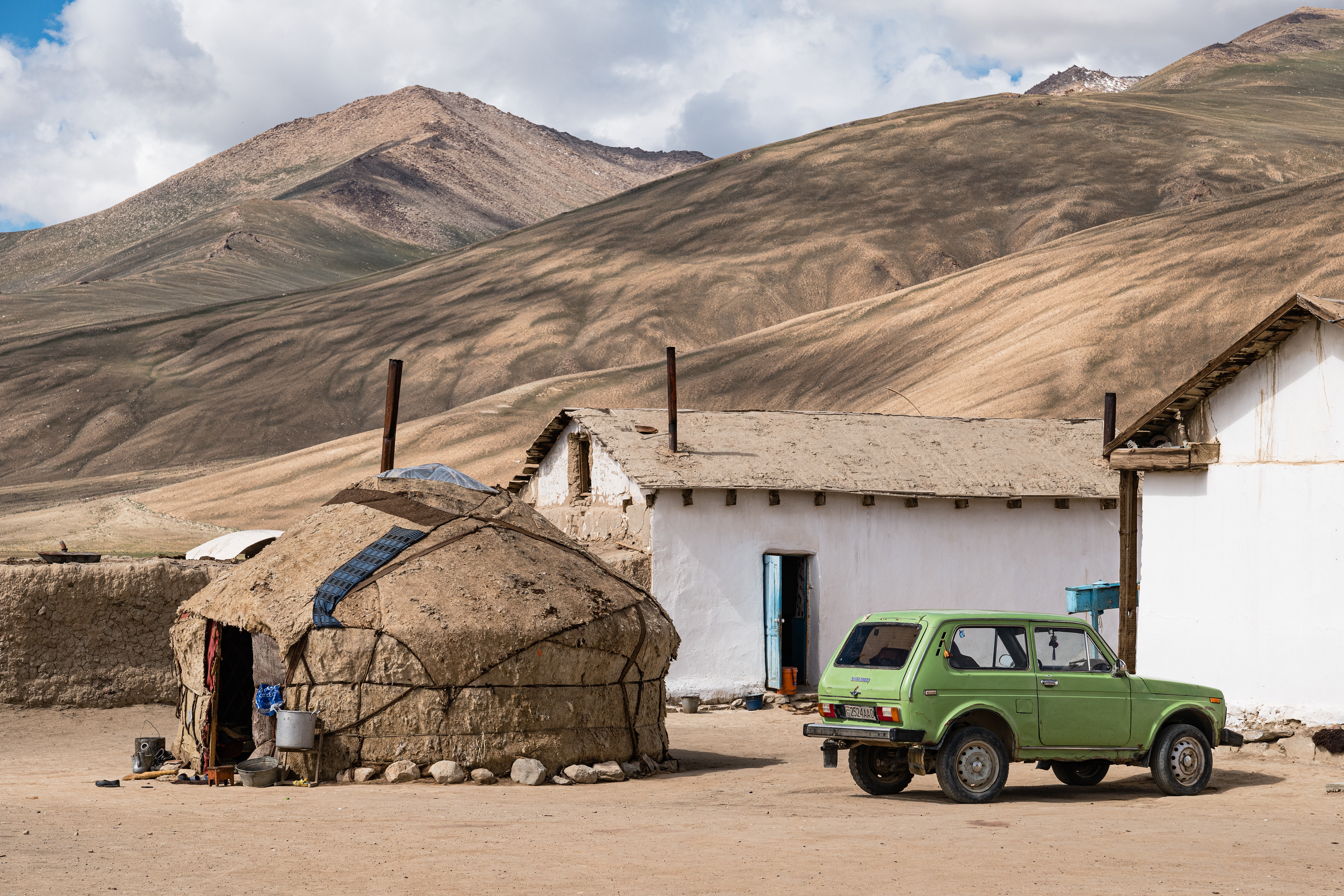
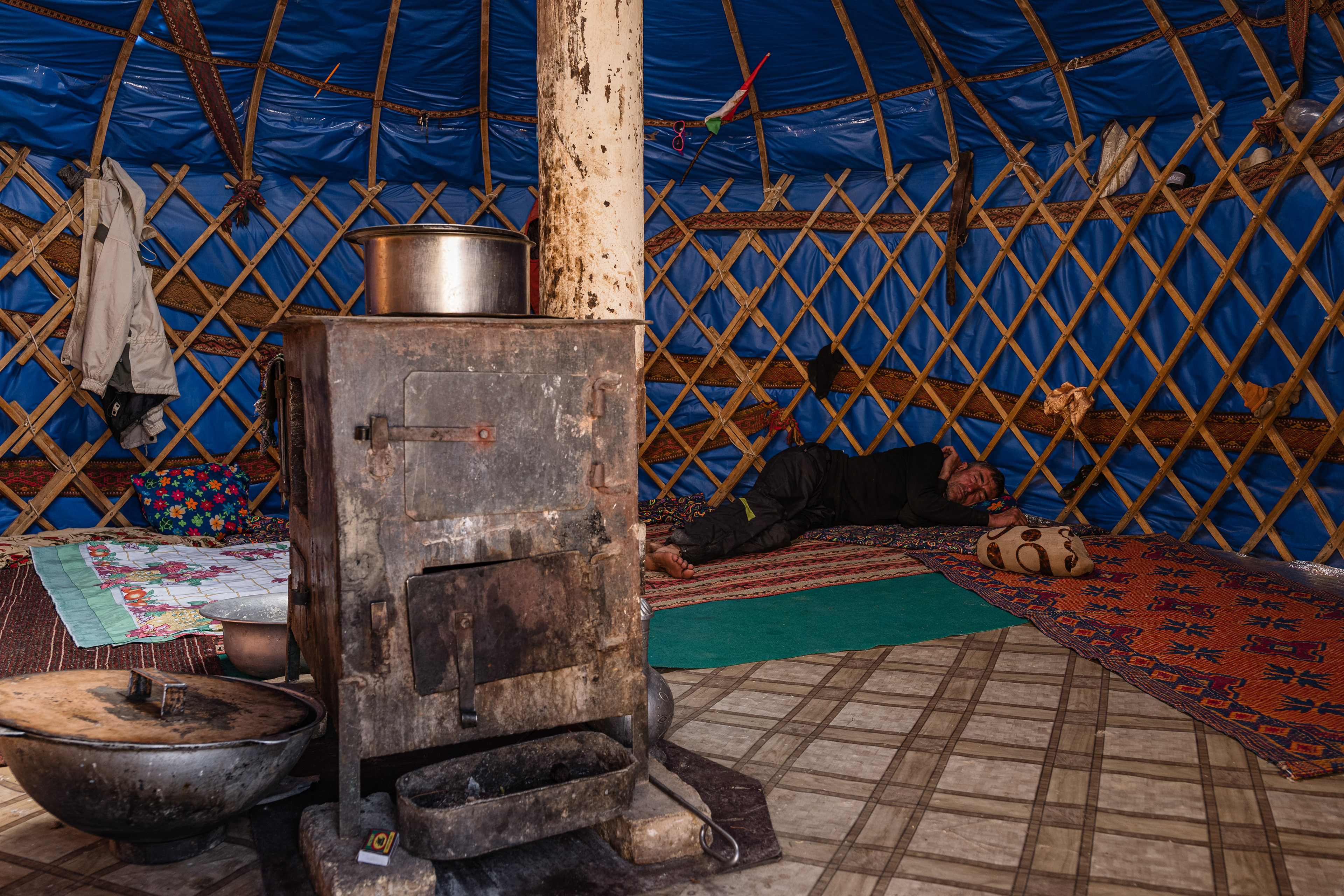
Our journey took us from the state capital Dushanbe in Tajikistan by minibus to Khorog, the district capital of Berg Badakh Shan. This region, located in the central Pamirs, borders Afghanistan. Recent uprisings in the district required an additional travel permit.
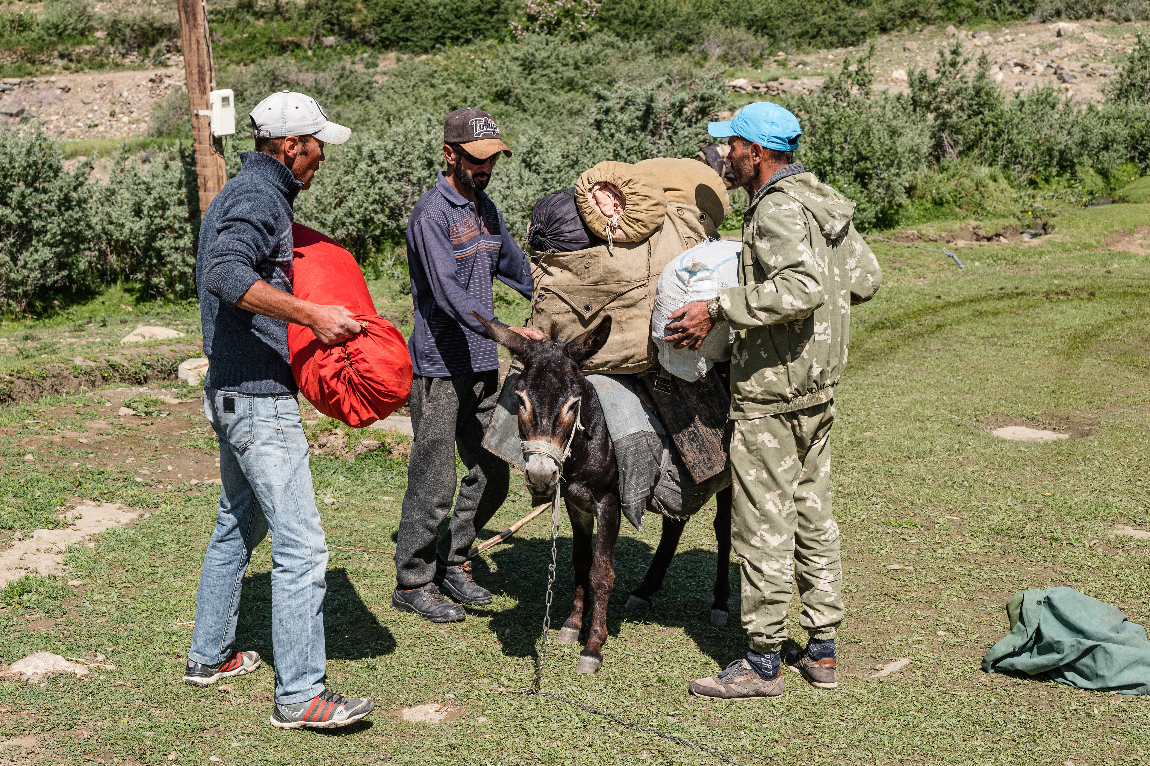
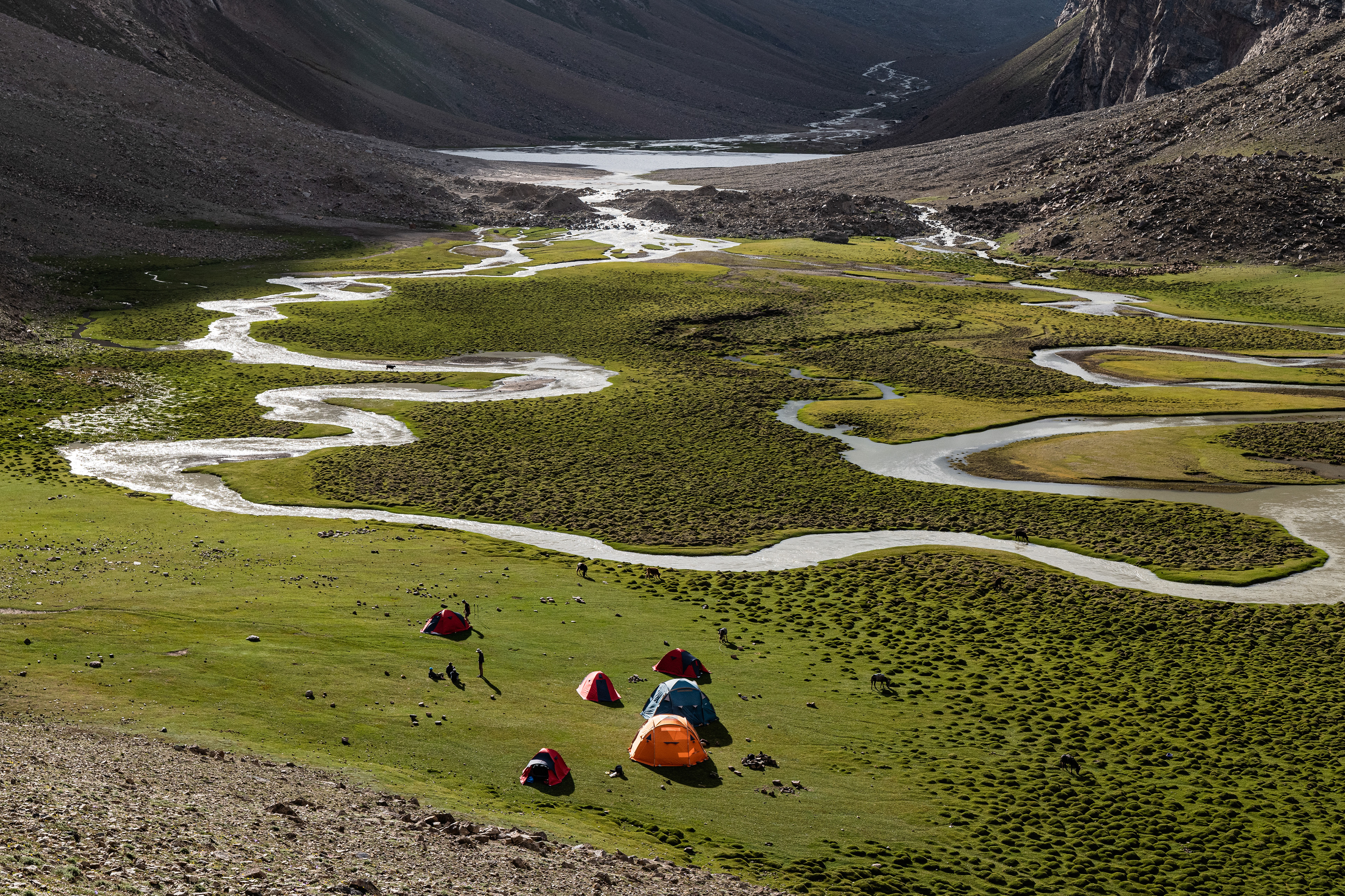
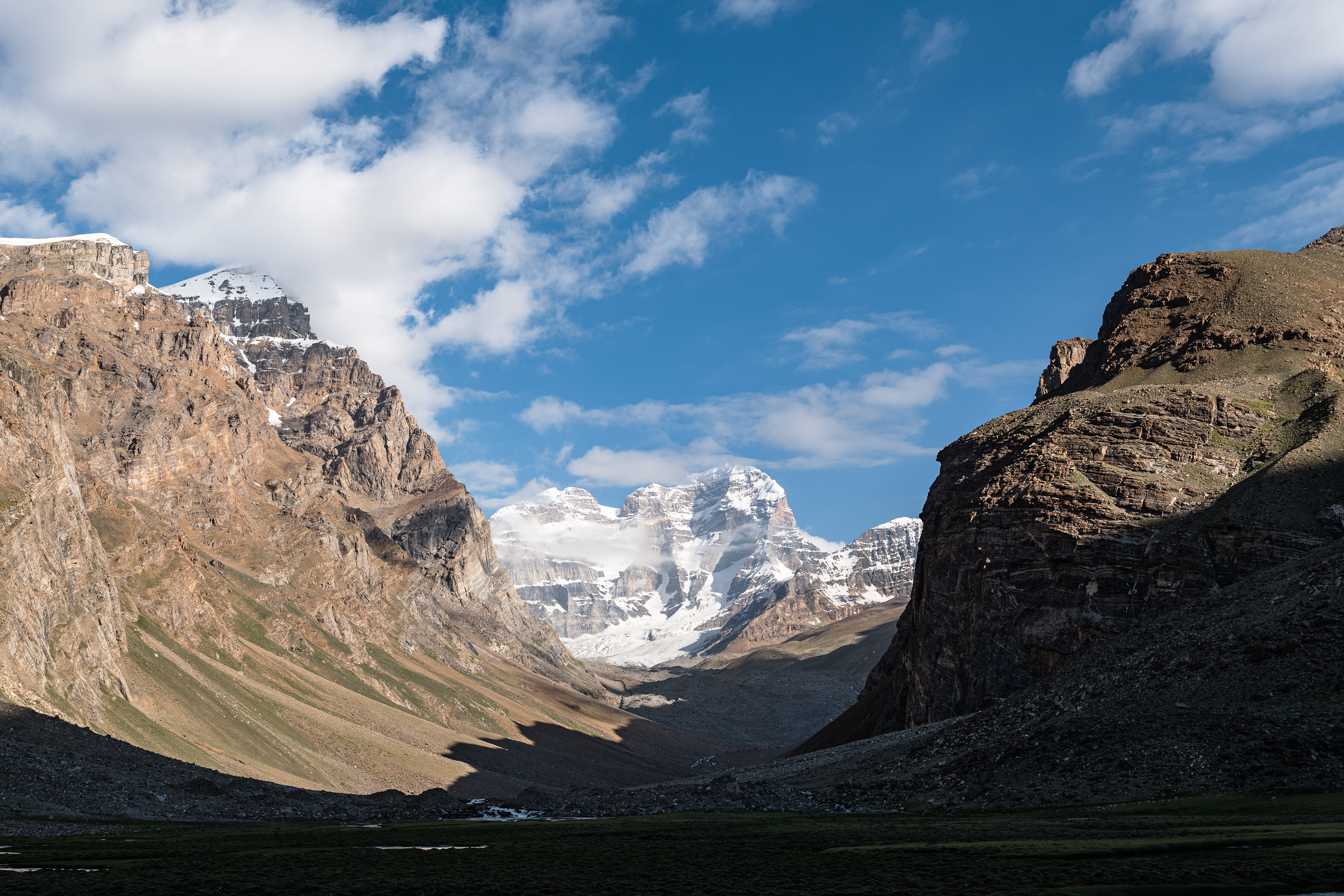
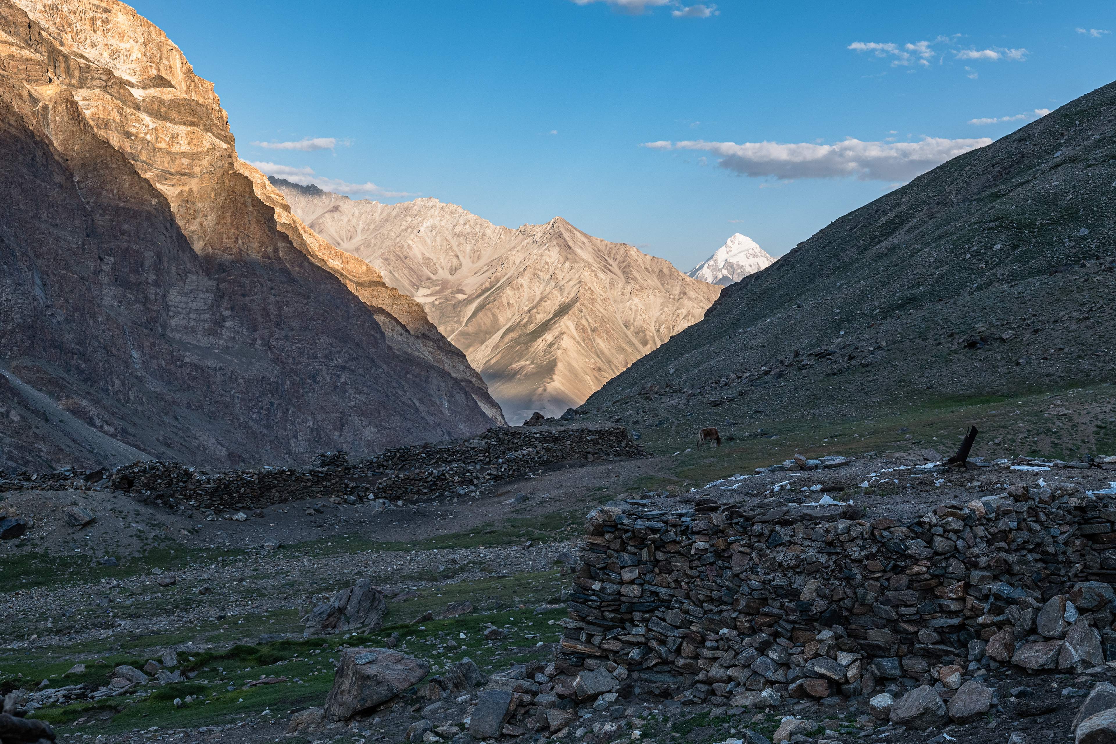
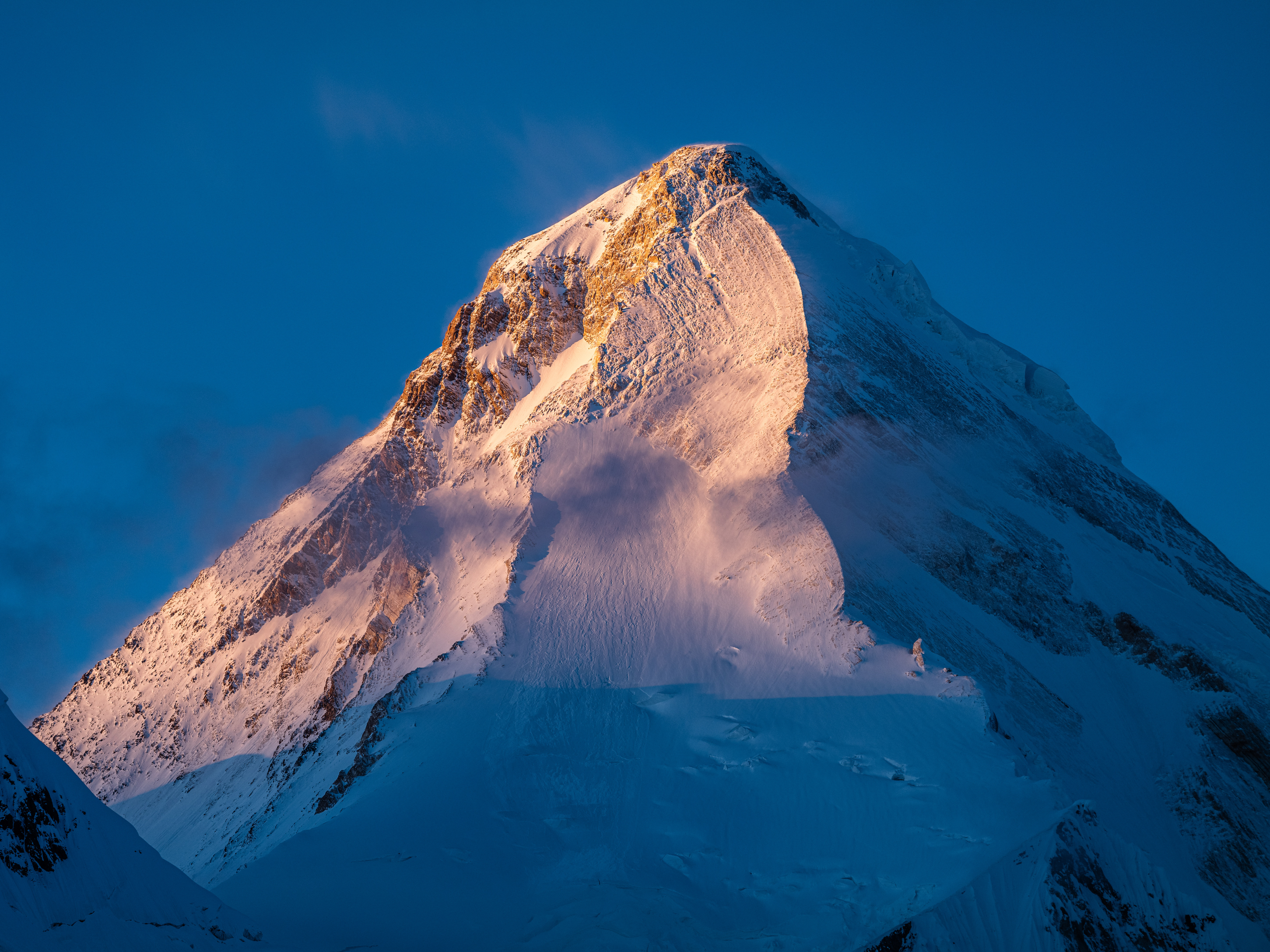
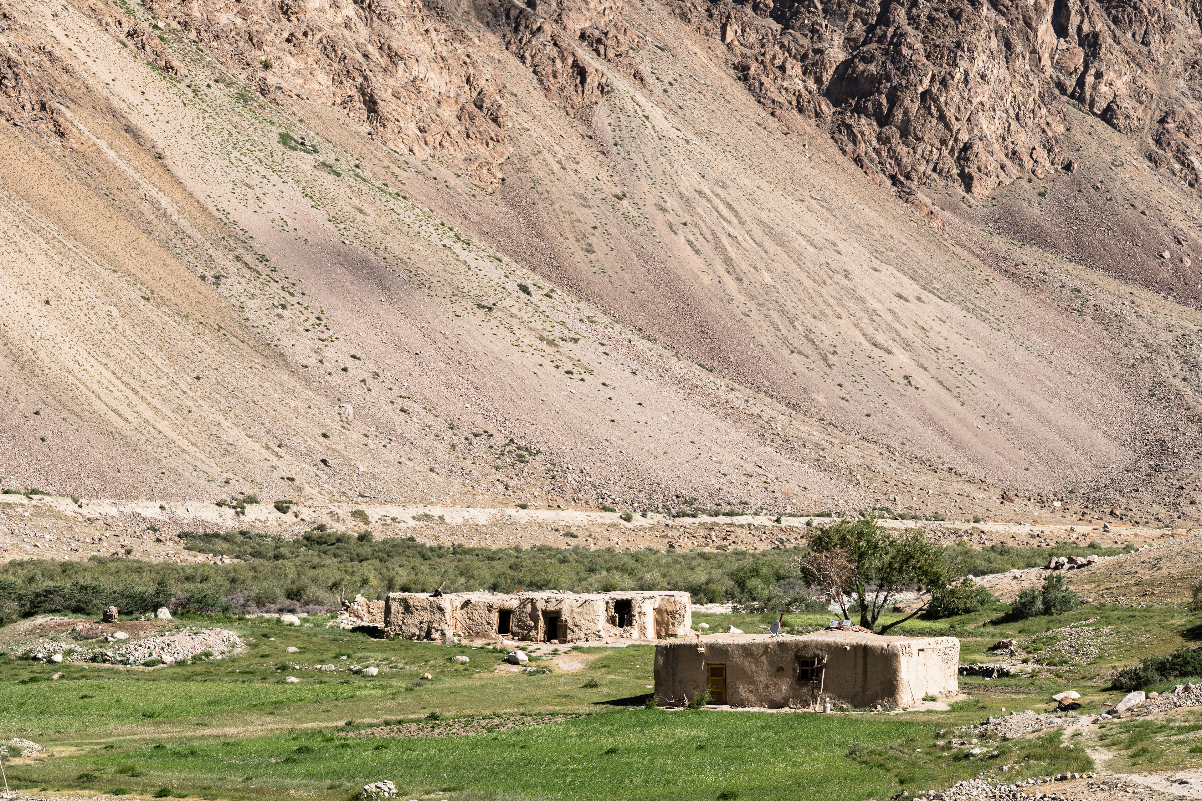
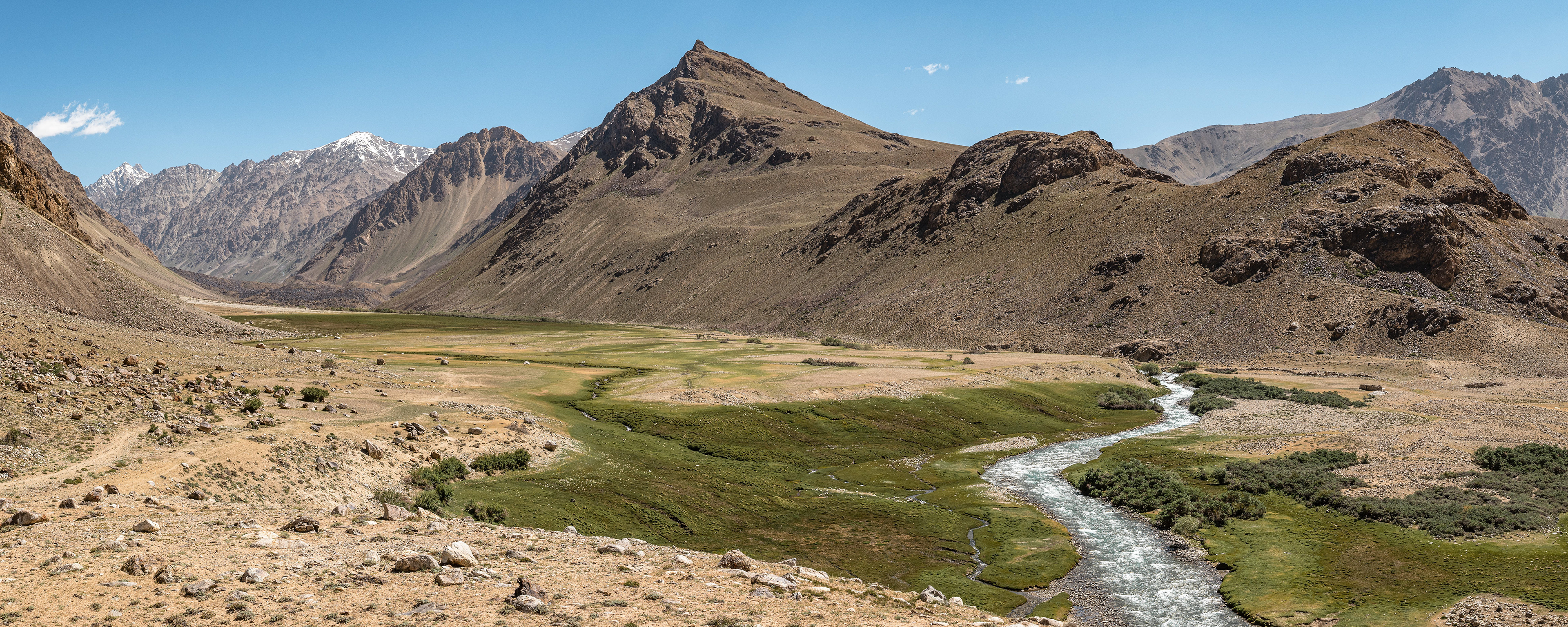
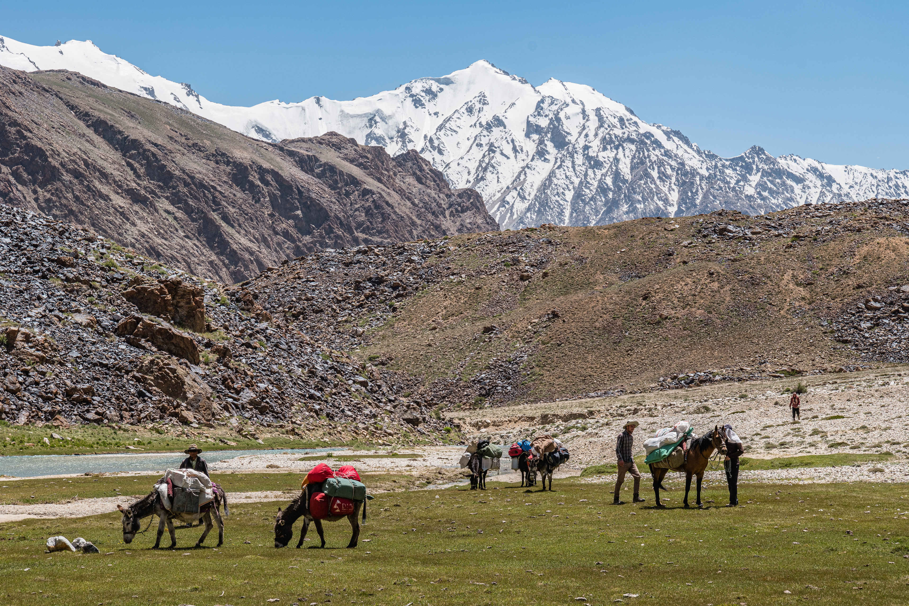
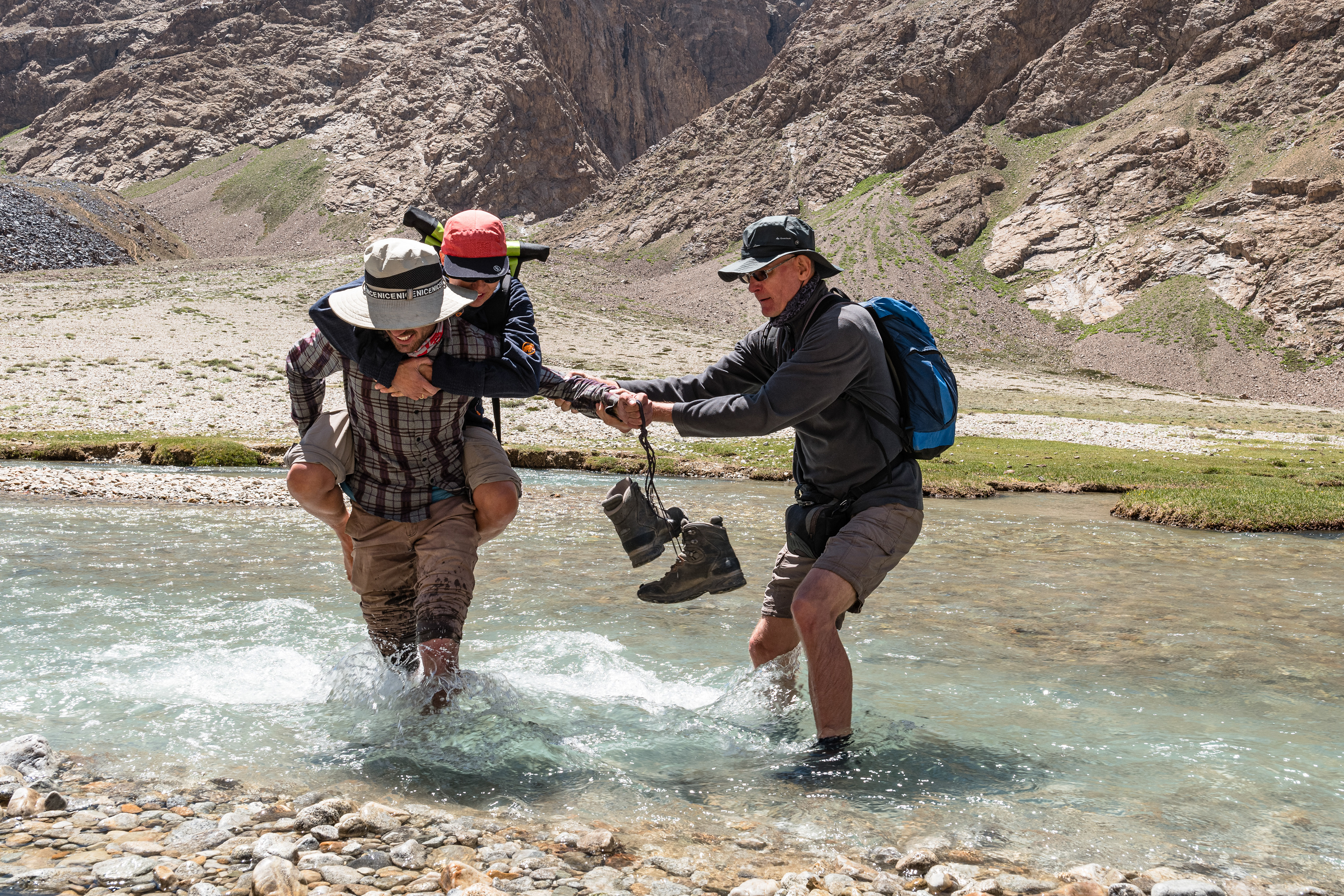
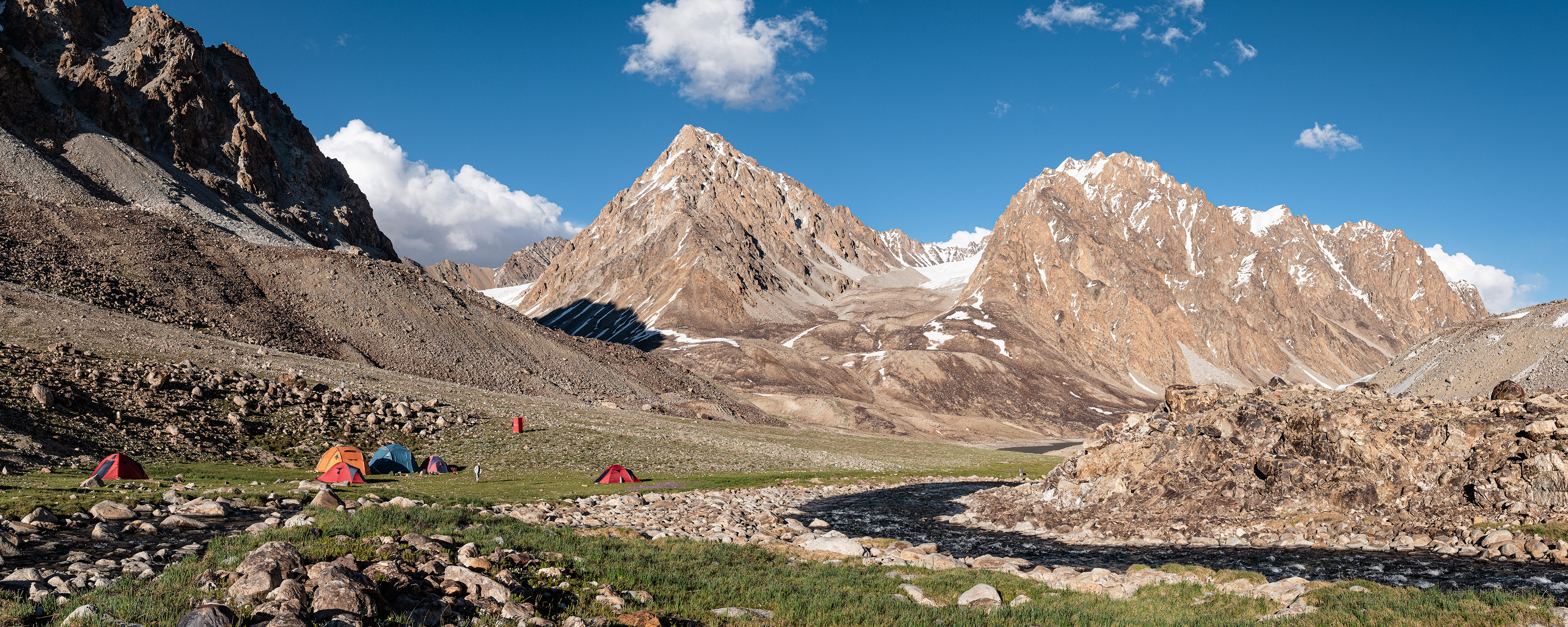
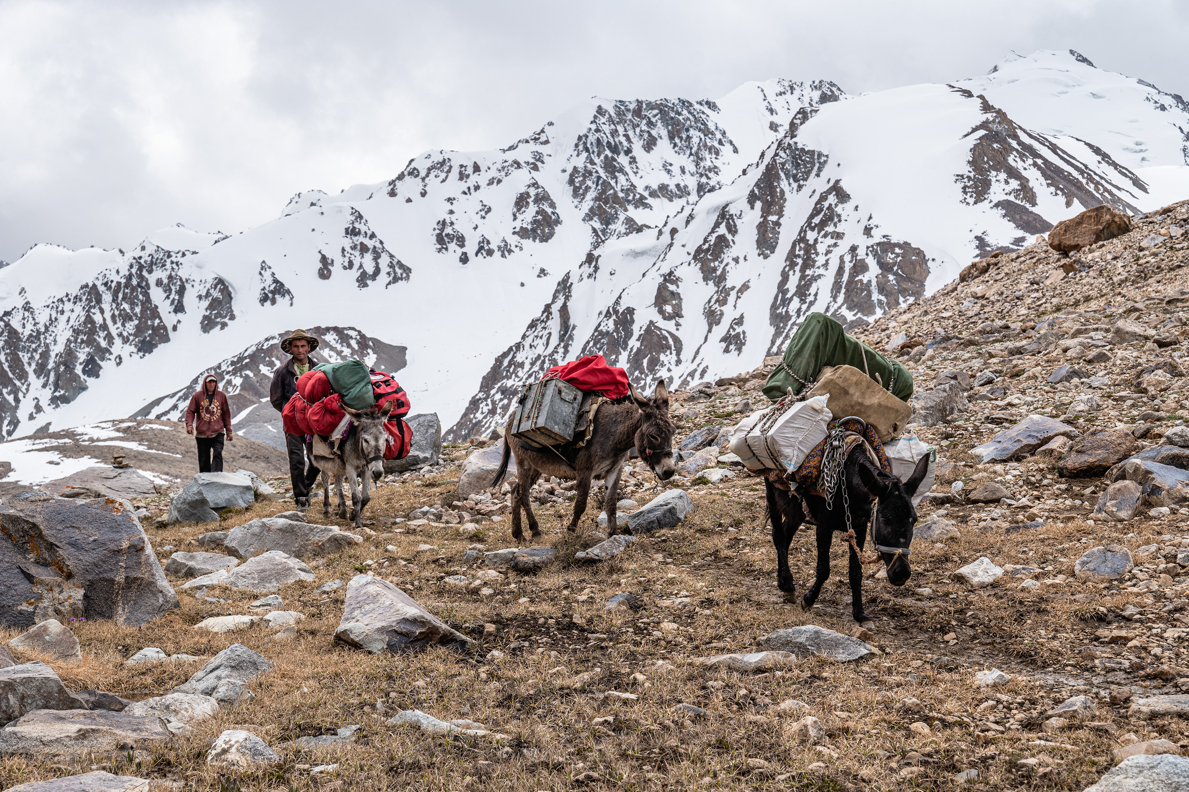
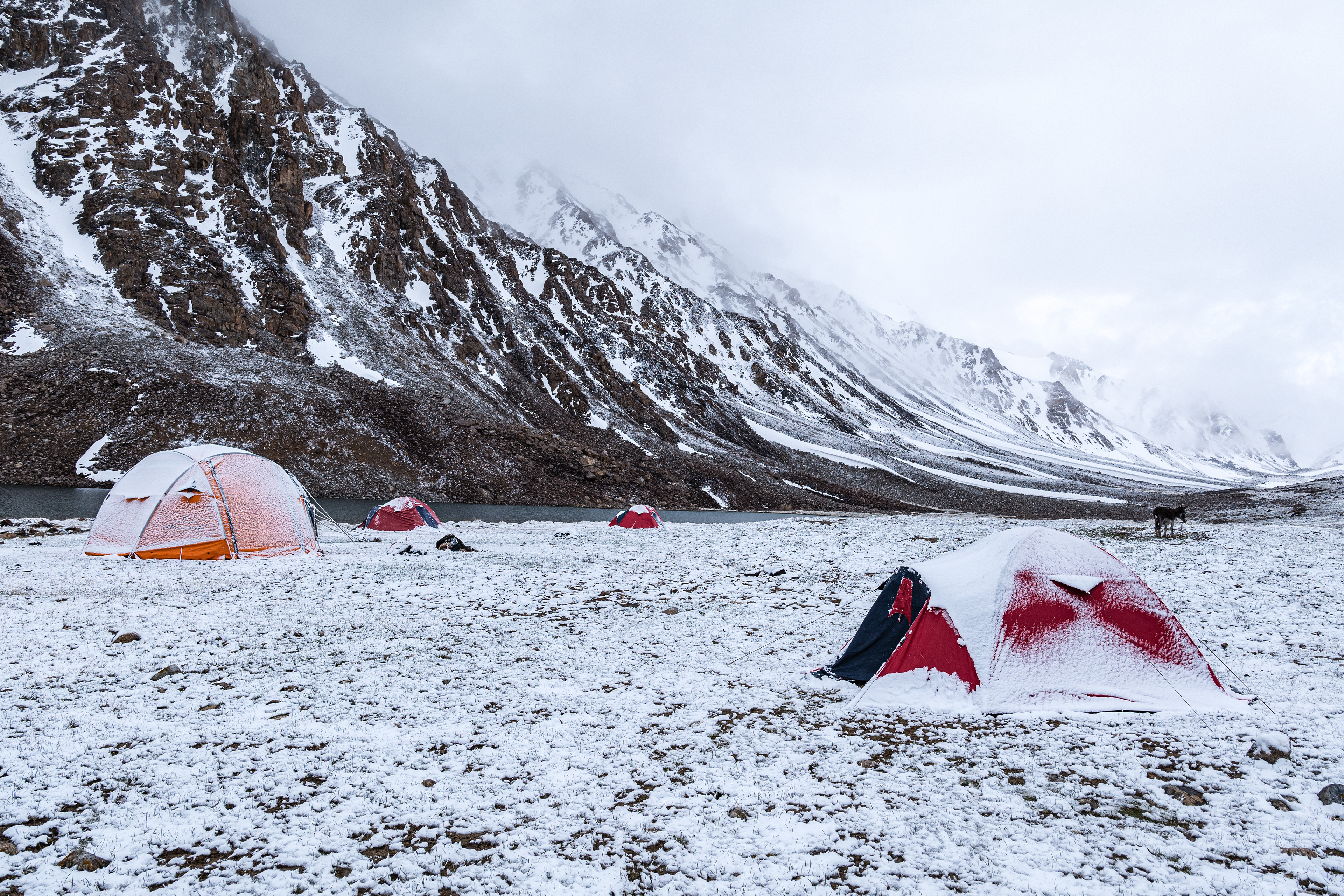
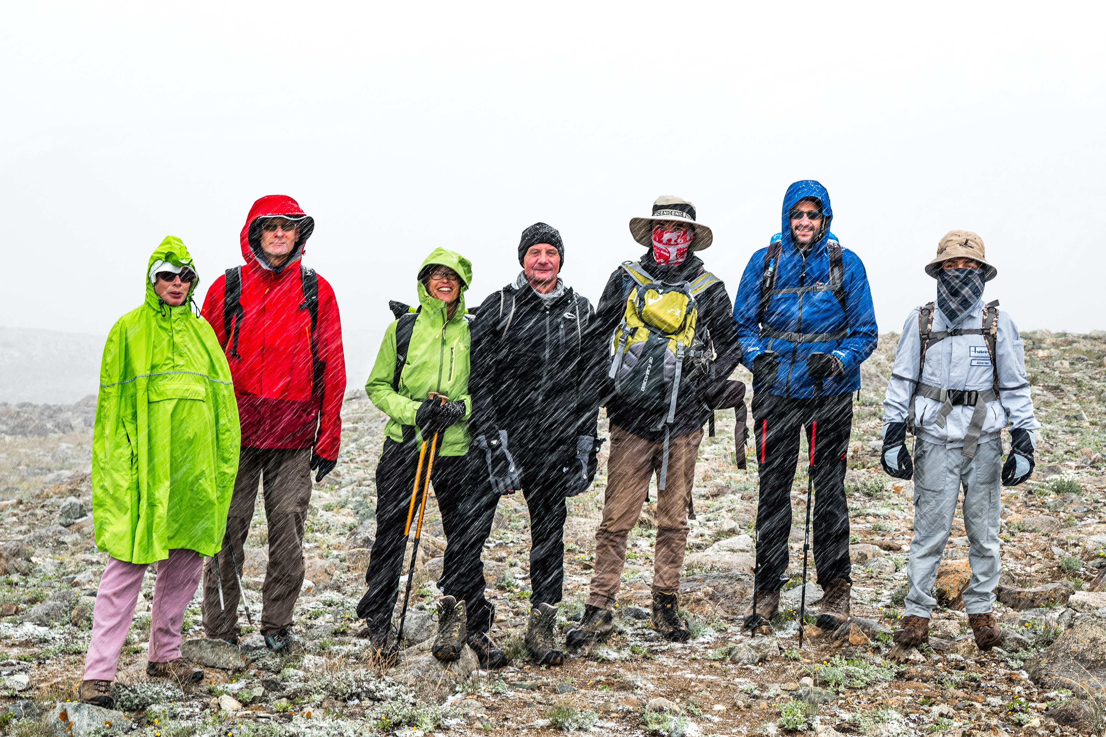
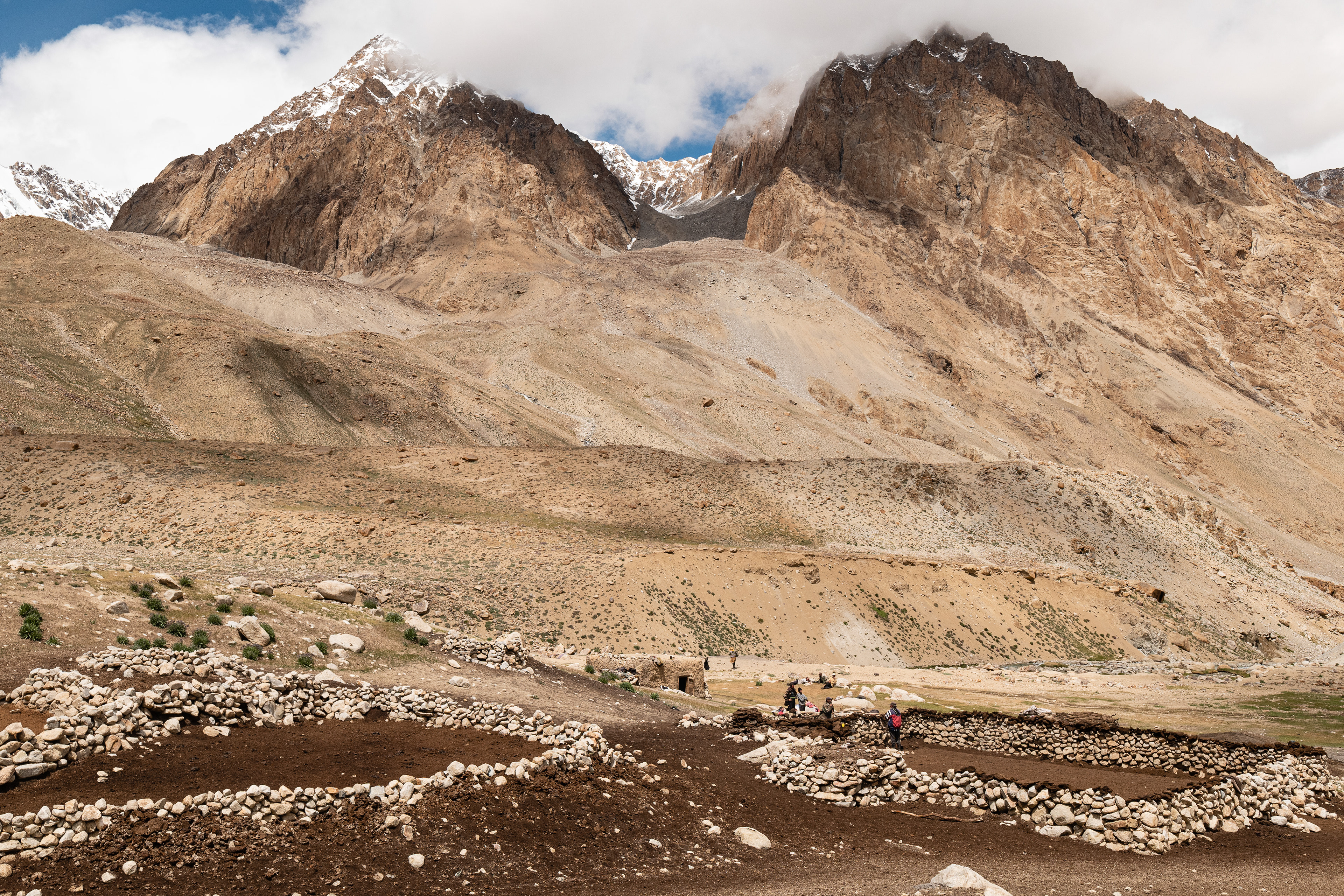
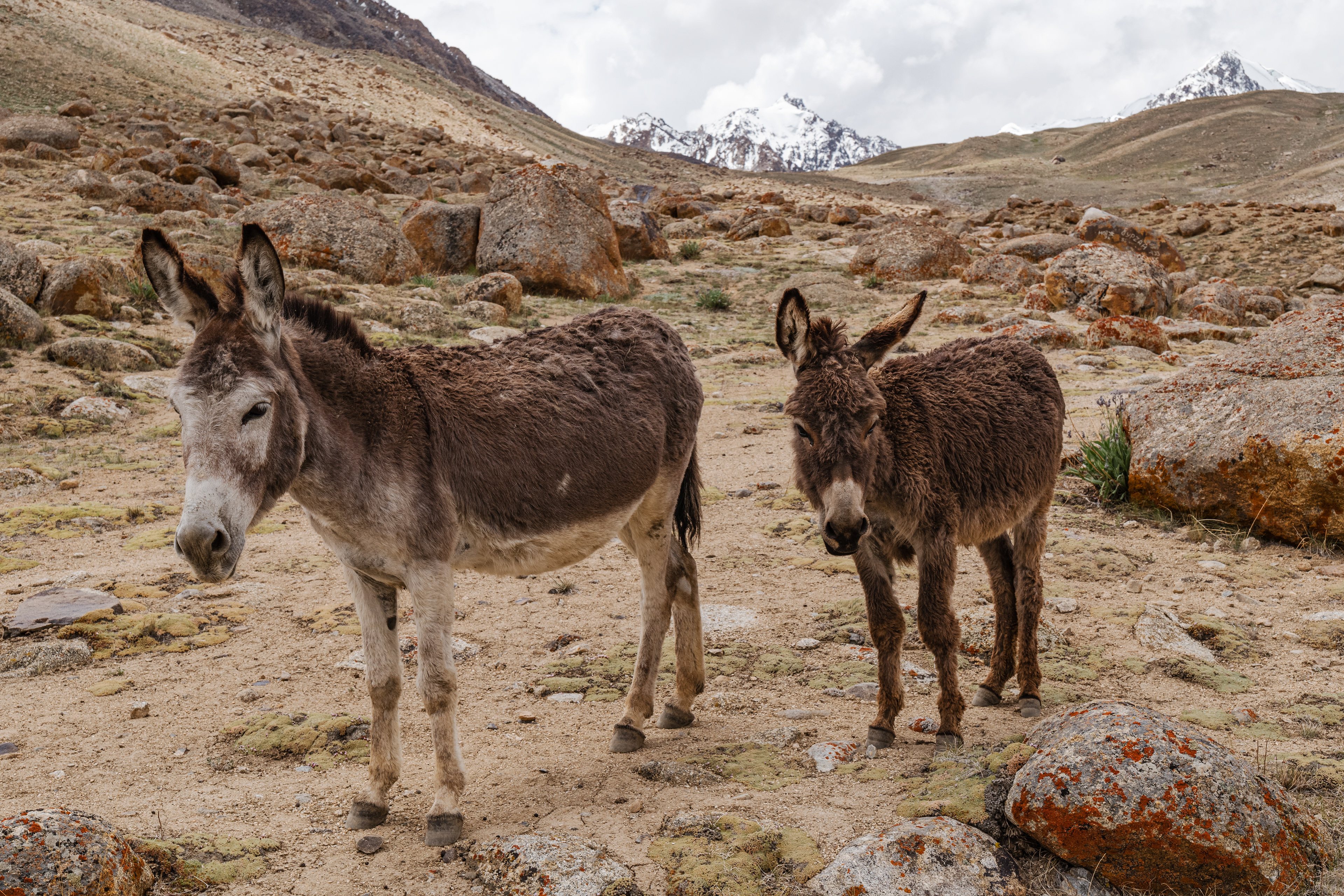
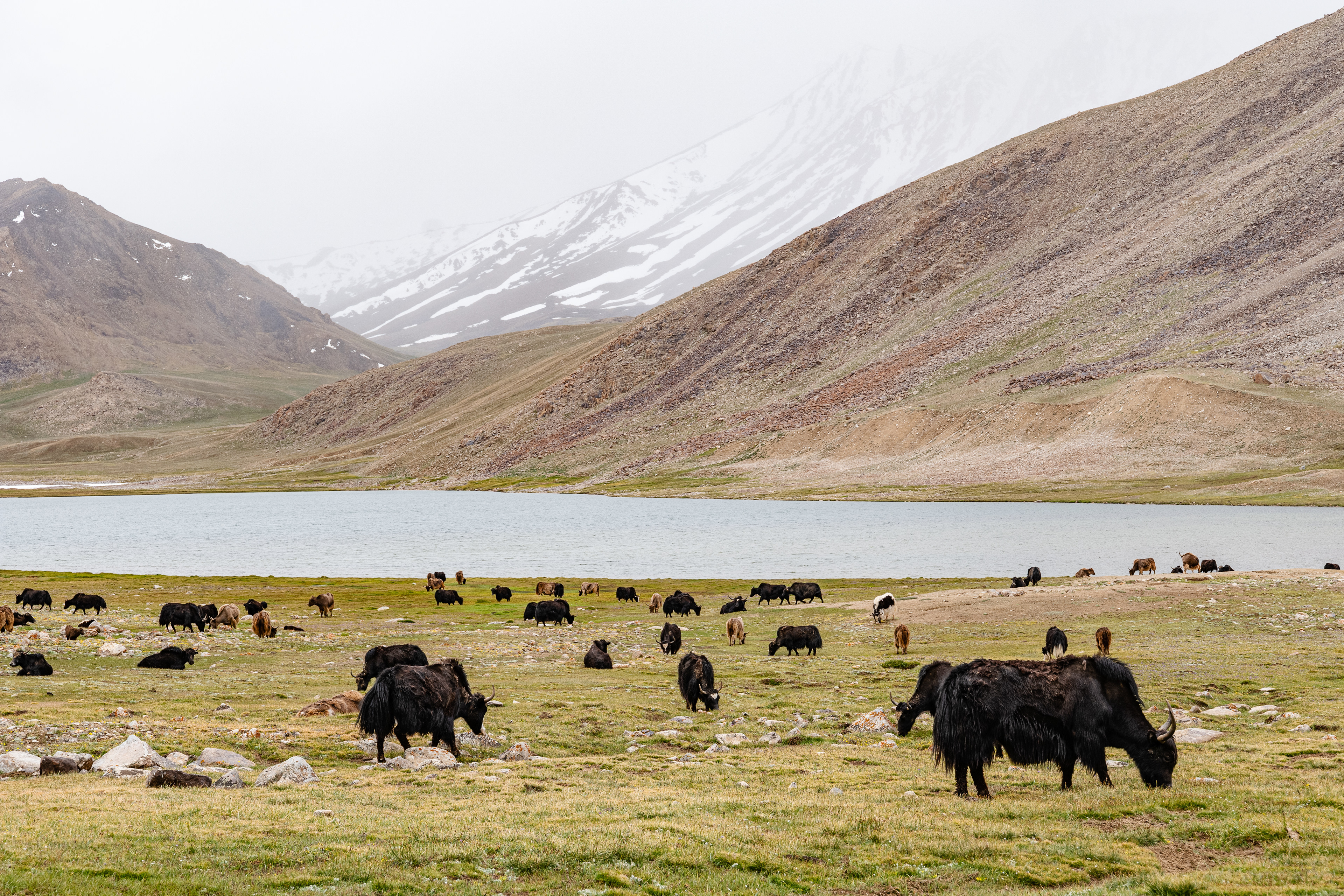
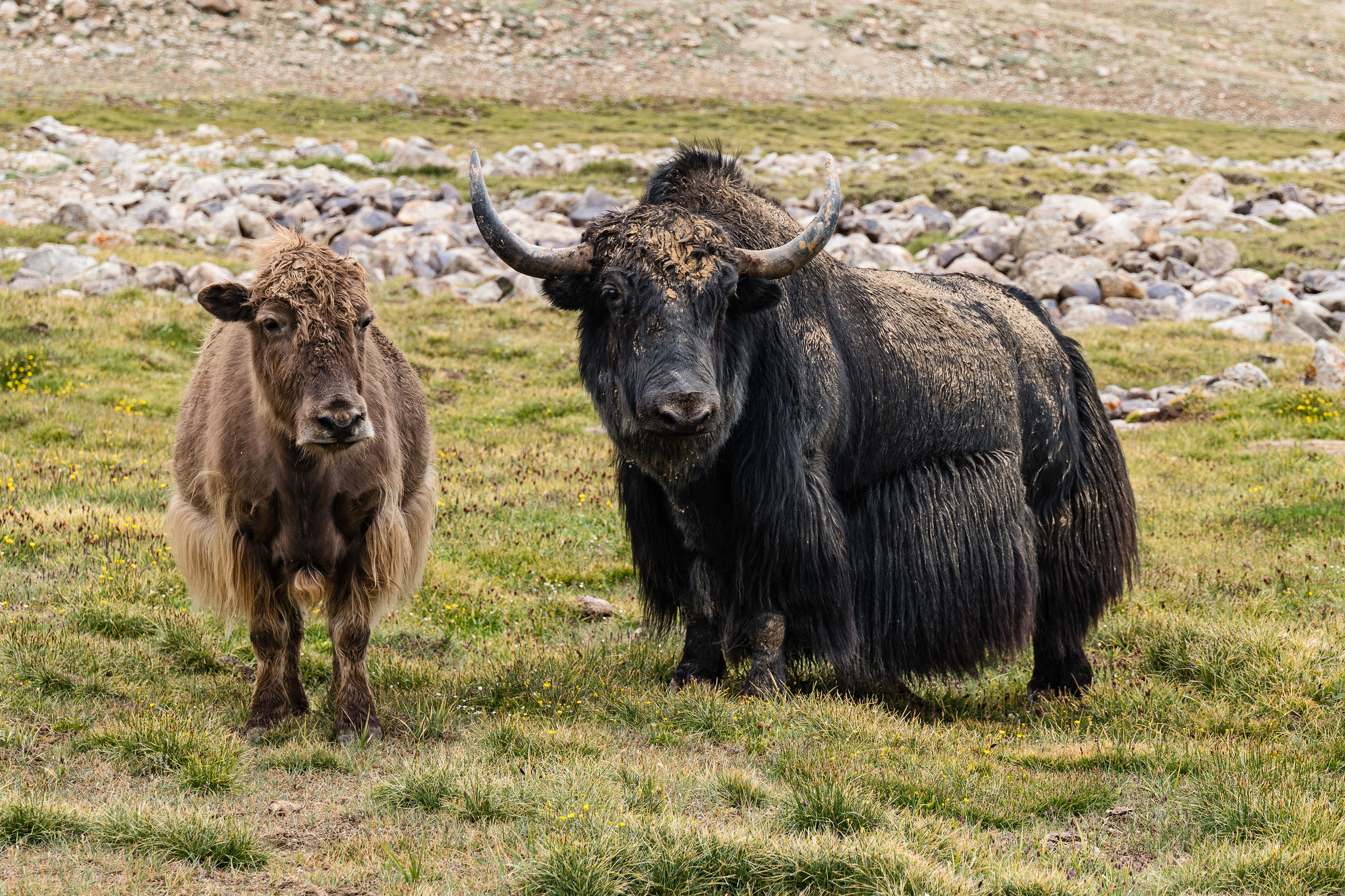
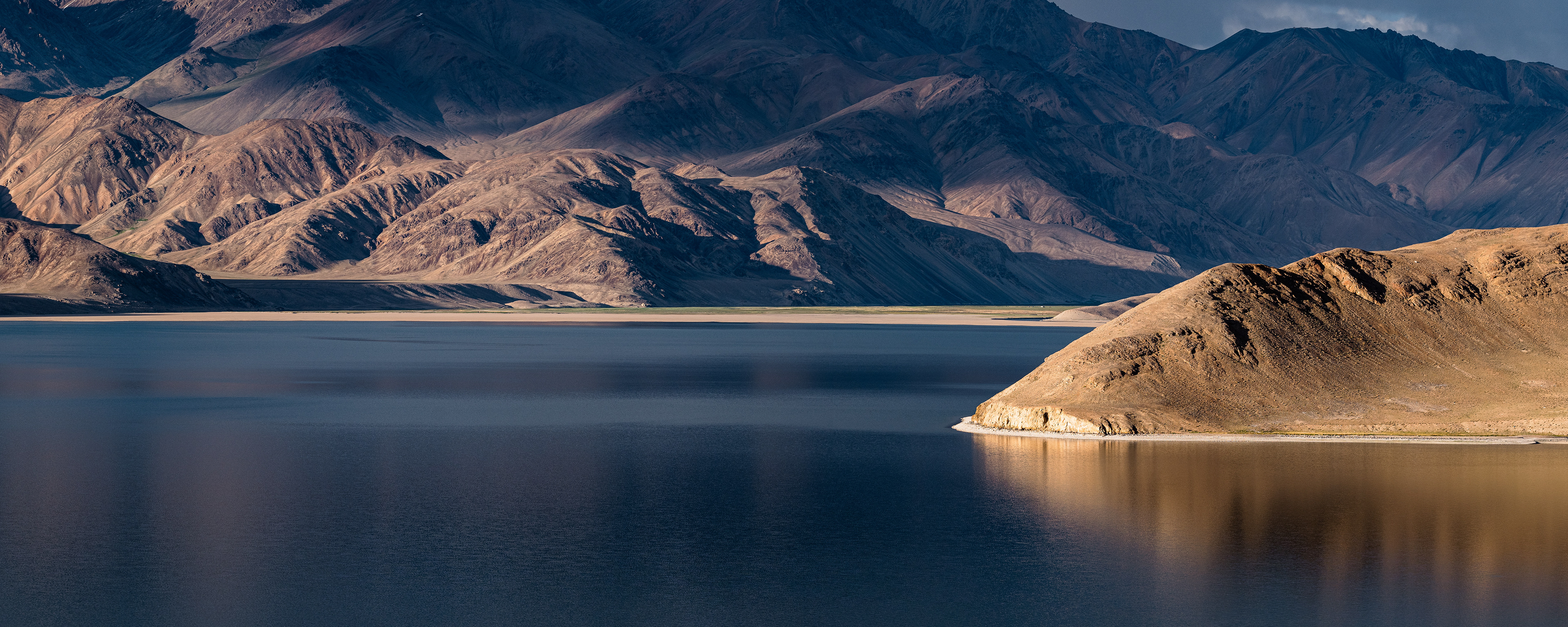
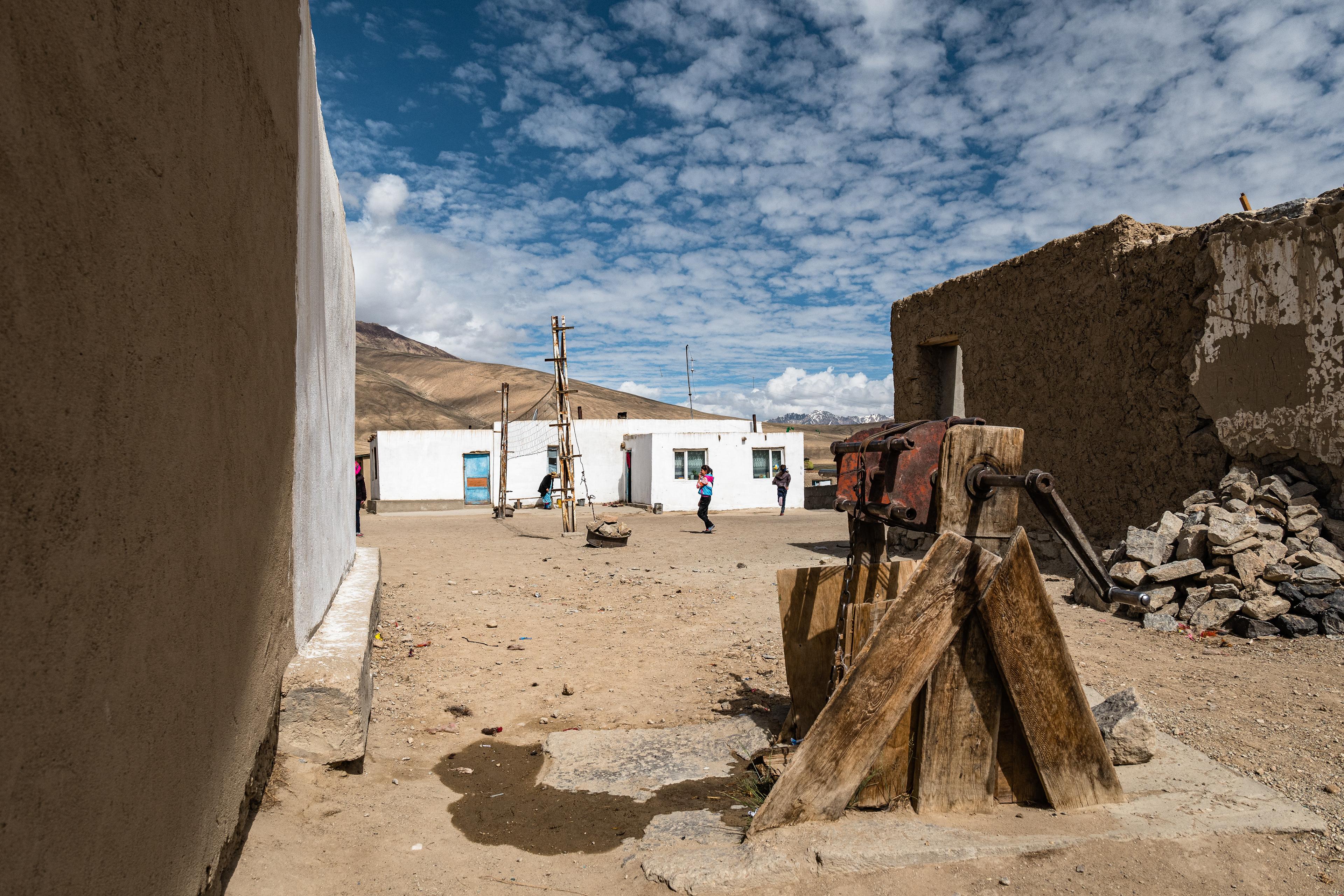
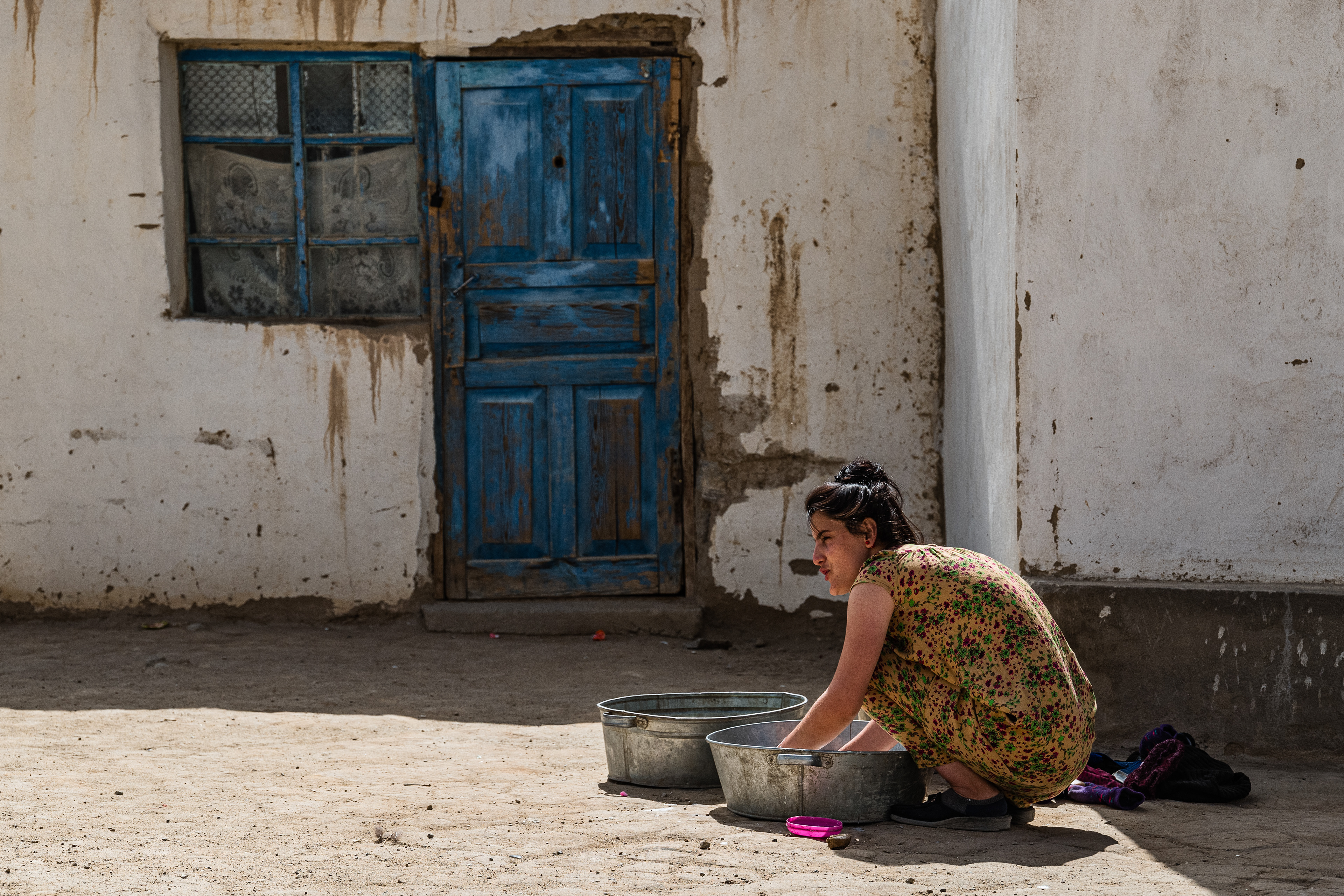
The first trekking in the Rushan Range lasted seven days. We started in Batchor in the Gunth Valley, passed several beautiful mountain lakes, crossed high mountain passes, and finally reached Lake Yashikul. The second trekking in the Shakh Dara Range just at the border to the Wakhan corridor led in three days to the base camp of Pik Friedrich Engels. Afterward, we drove back to Dushanbe via Korugh on the very bumpy Pamir Highway.
Trekking Rushan Range
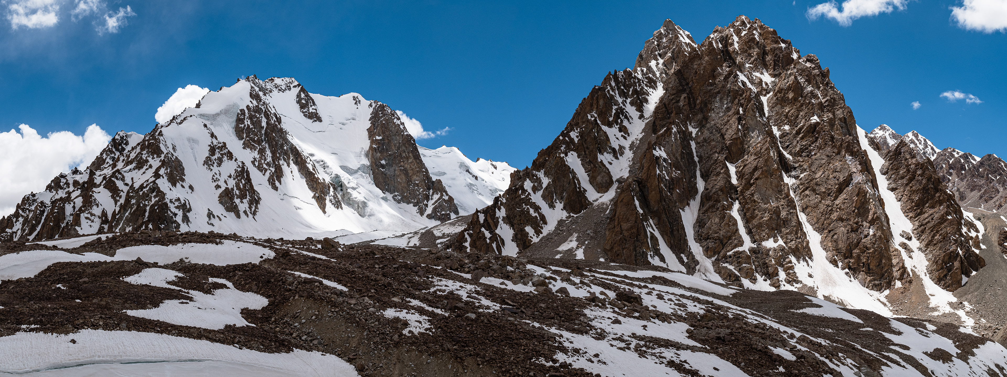
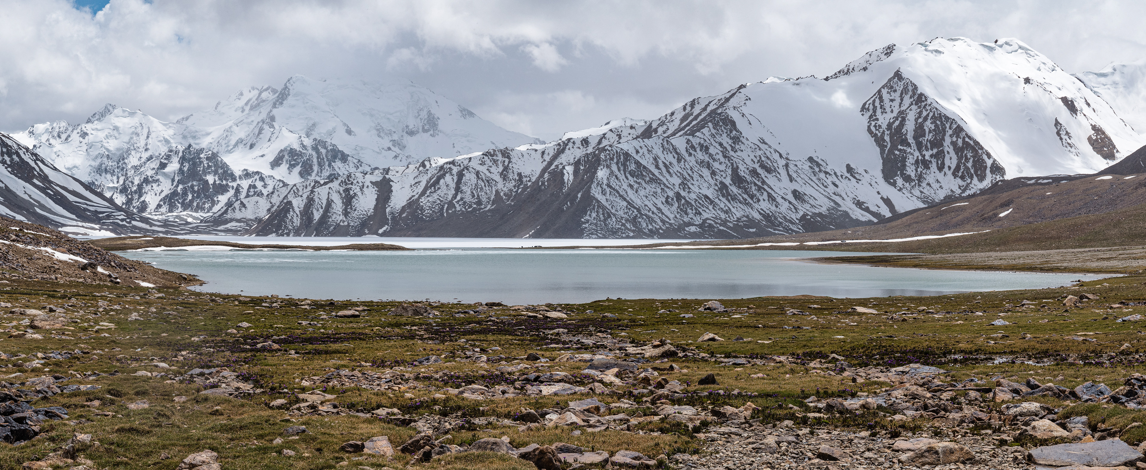
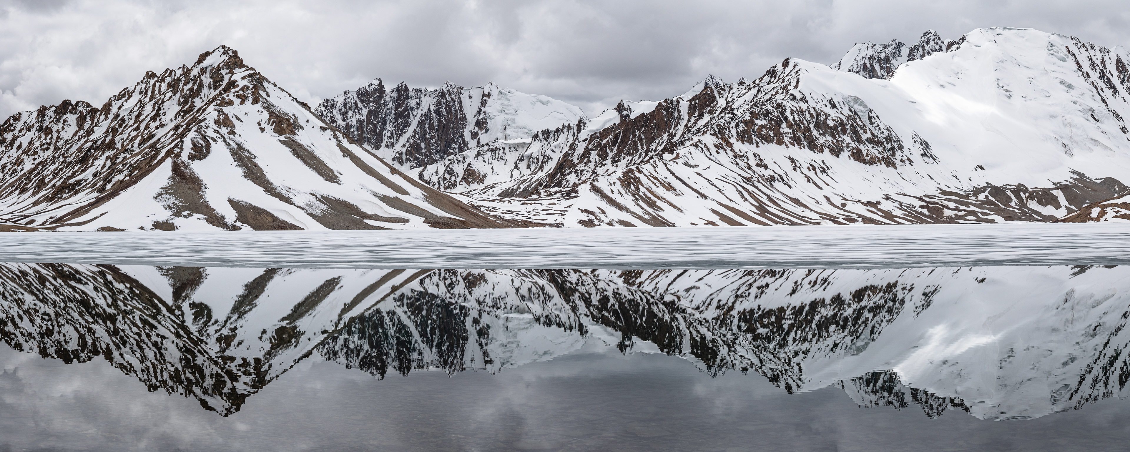
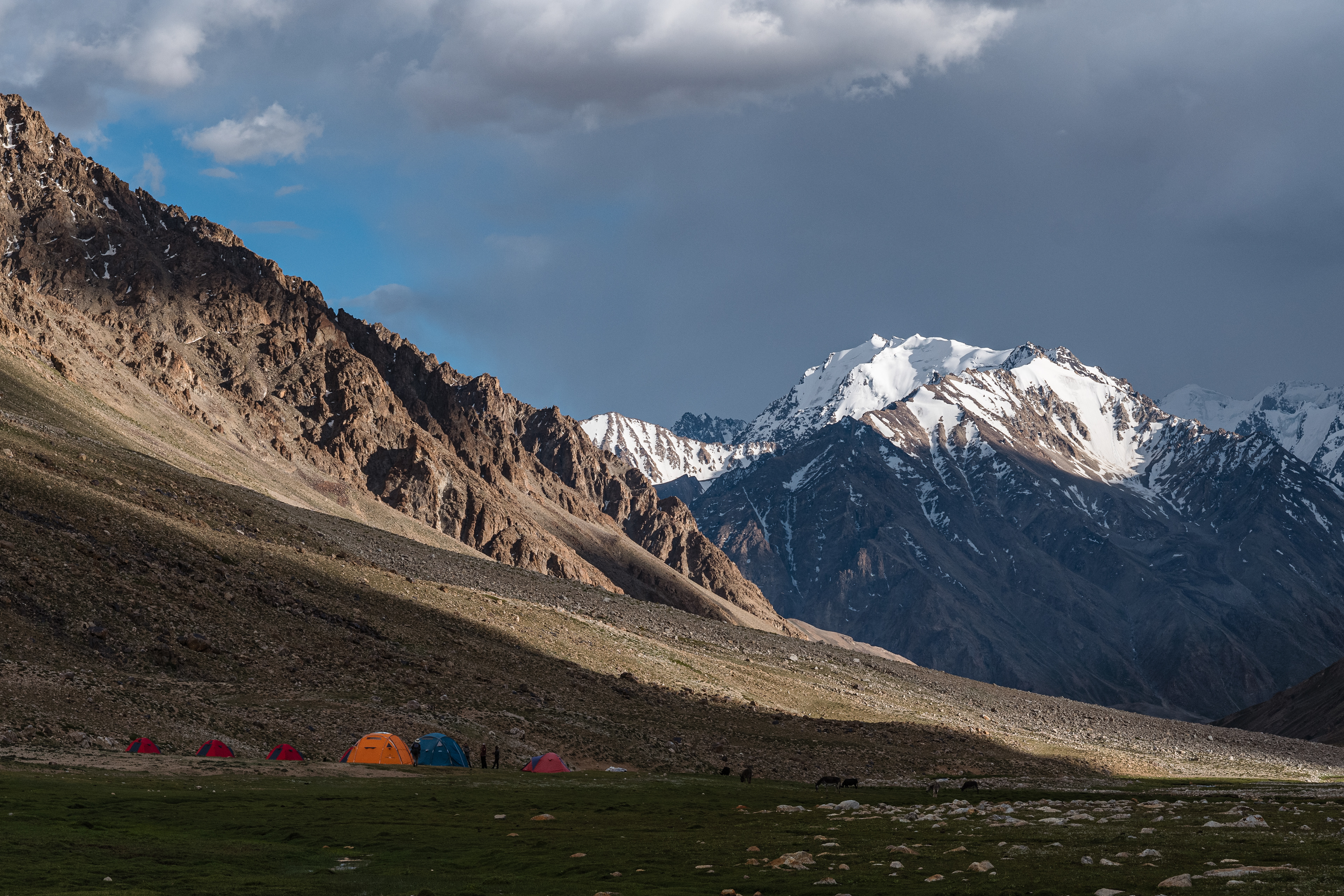
Shakh Dara Range / Base Camp Peak Friedrich Engels