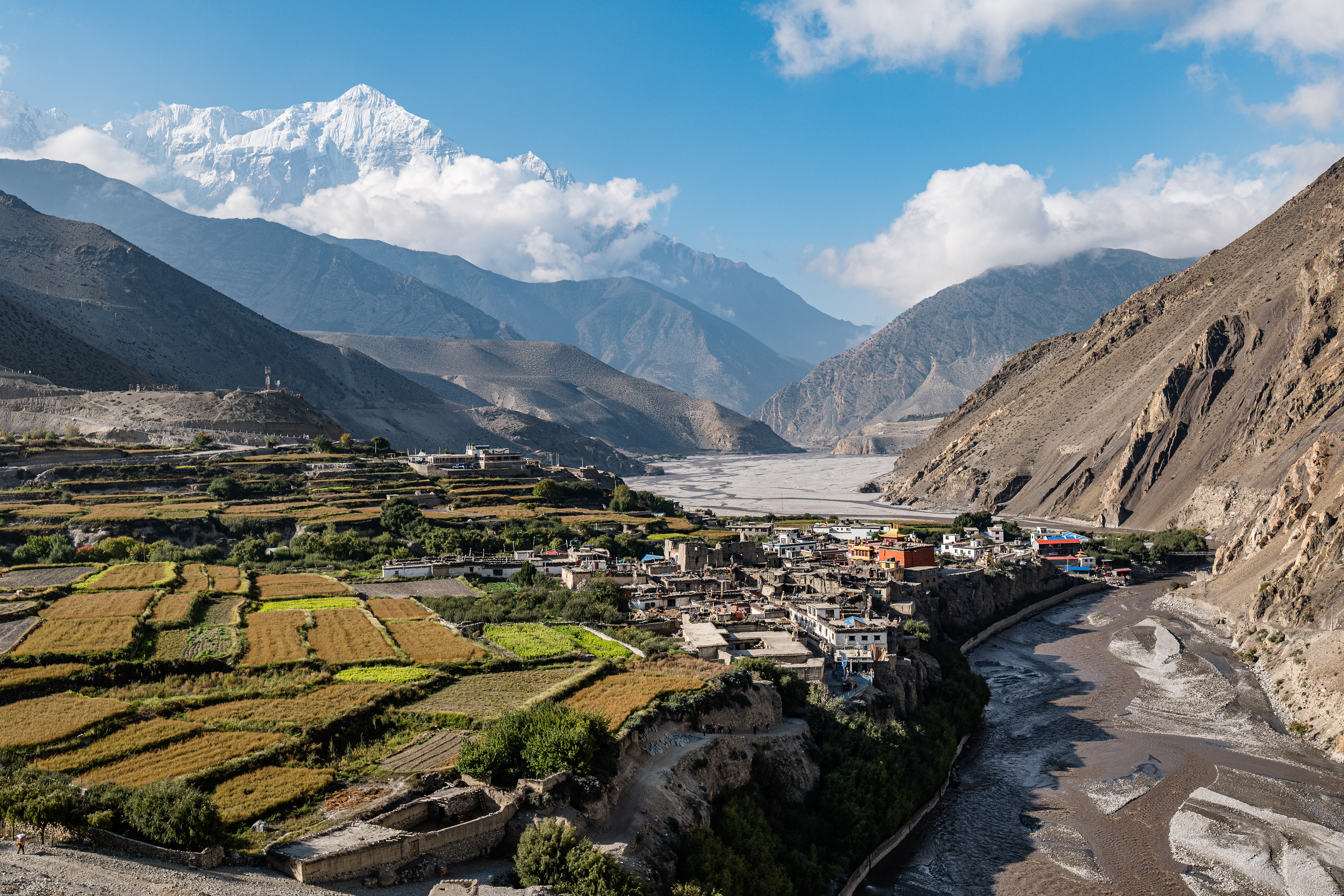
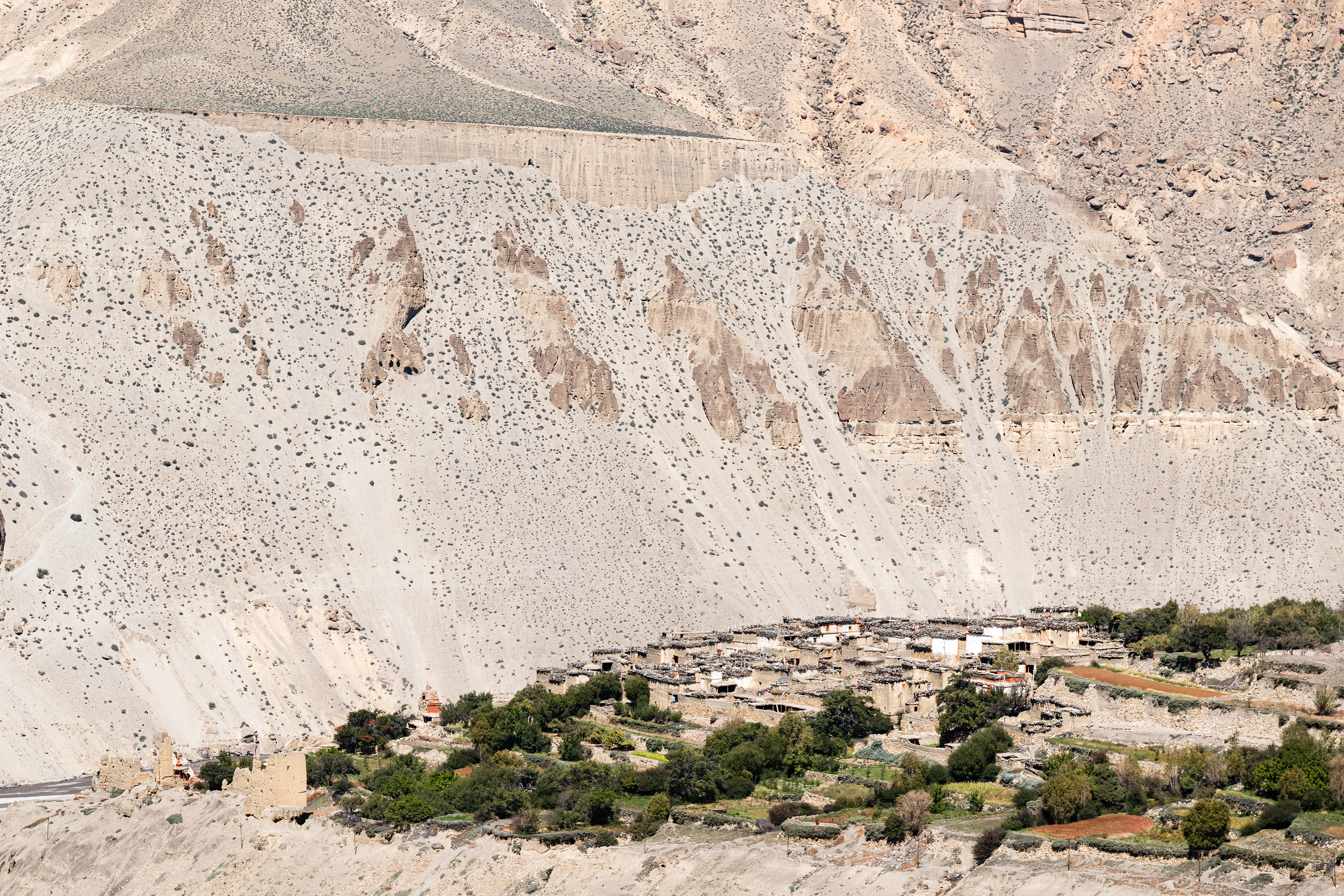
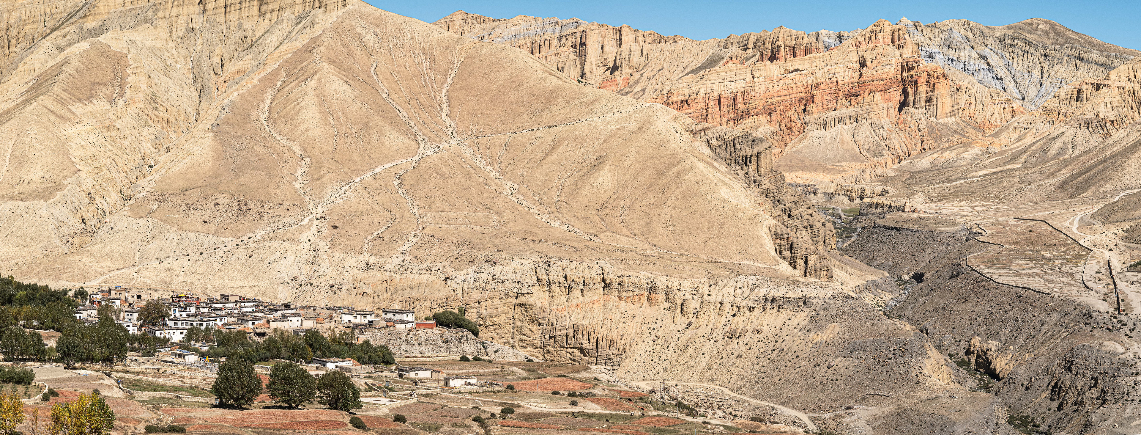
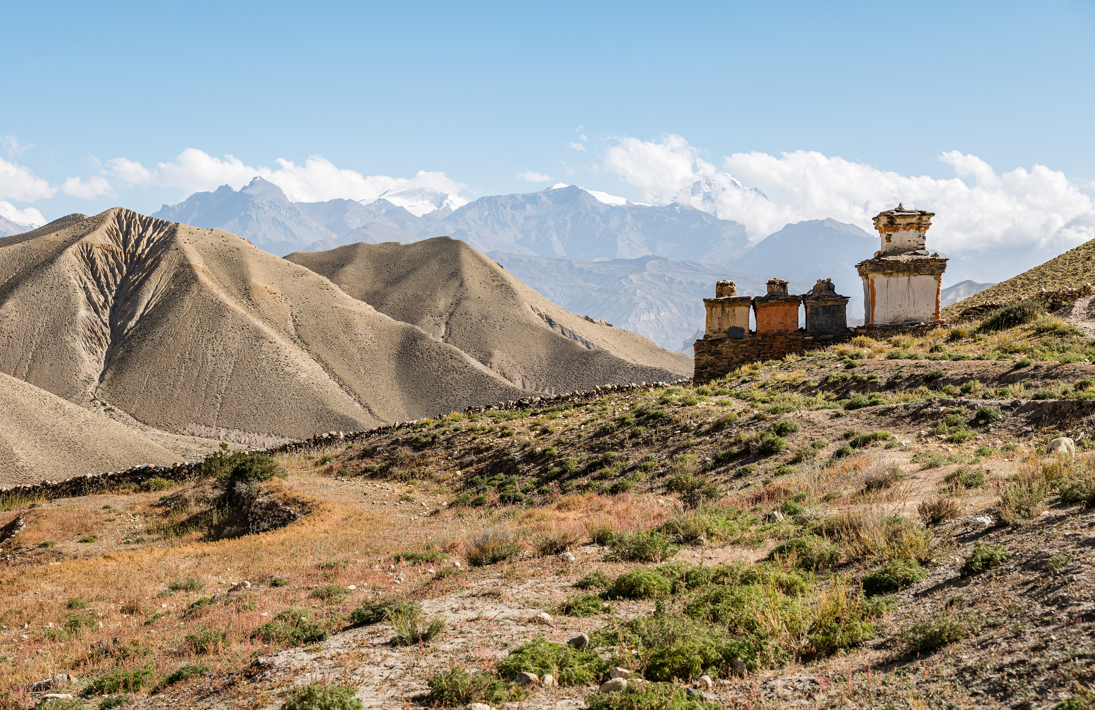
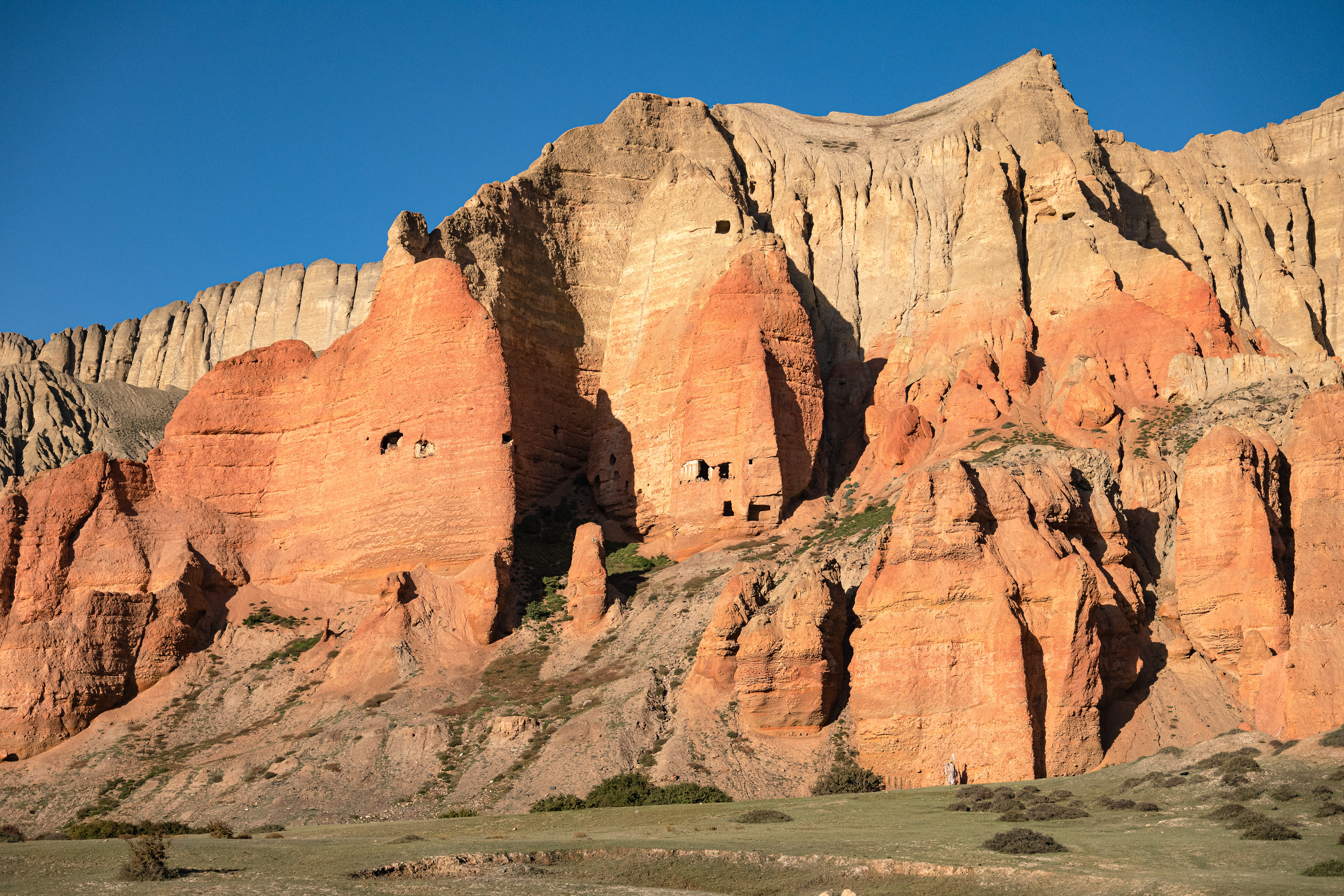
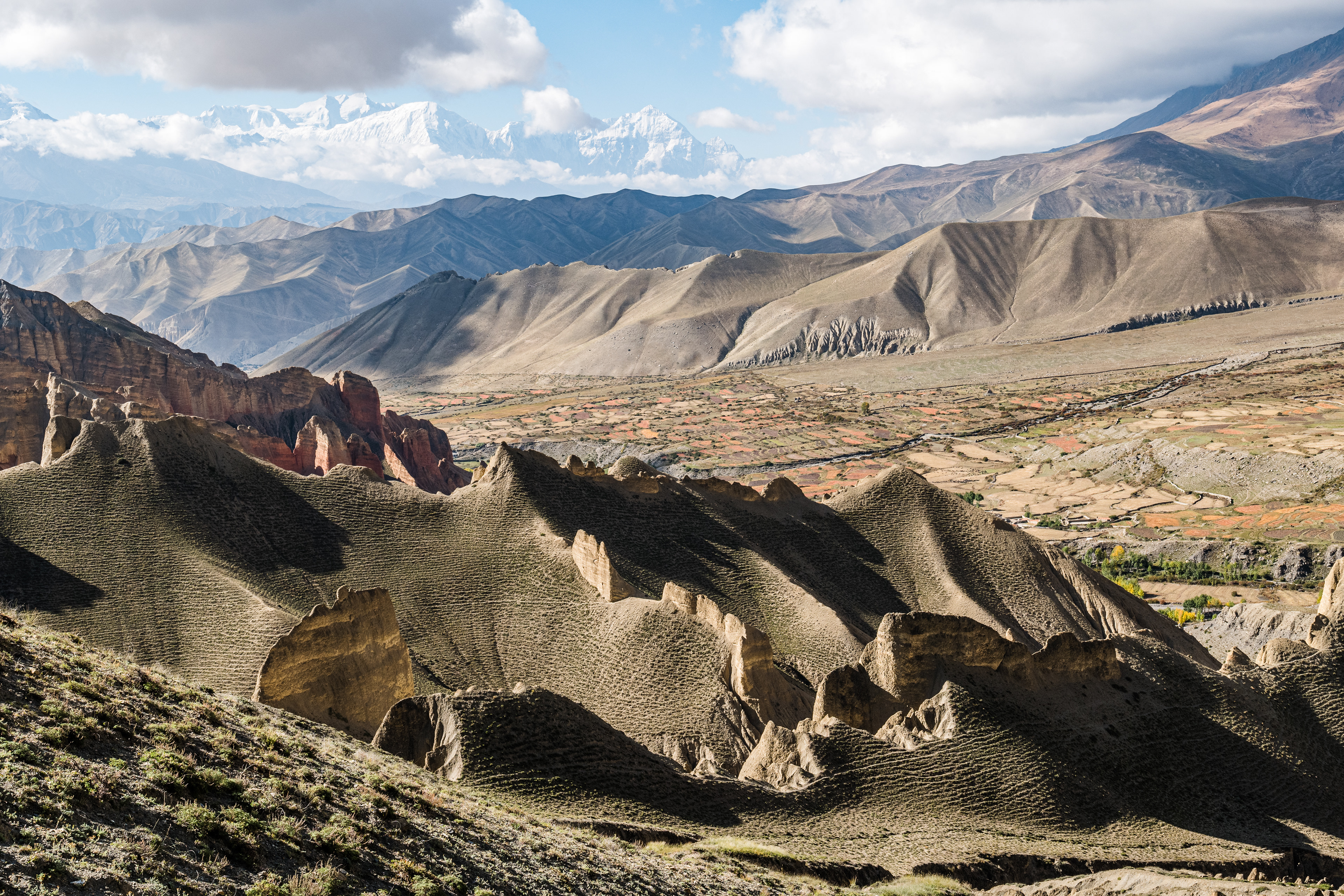
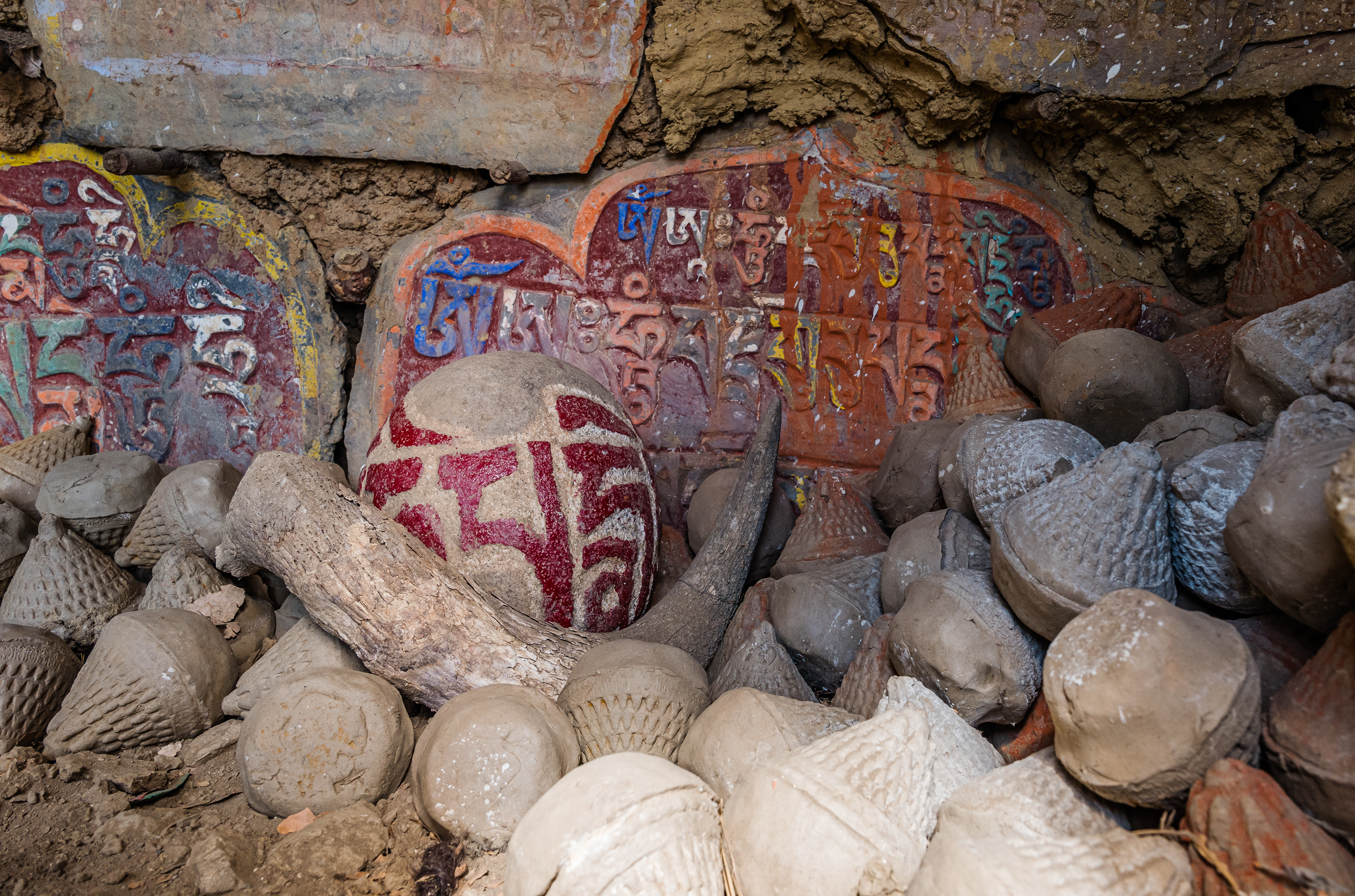
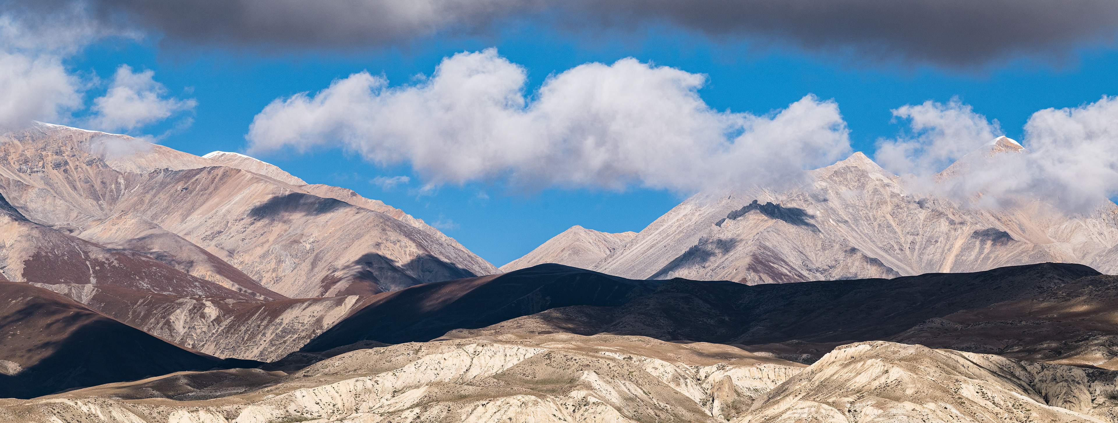
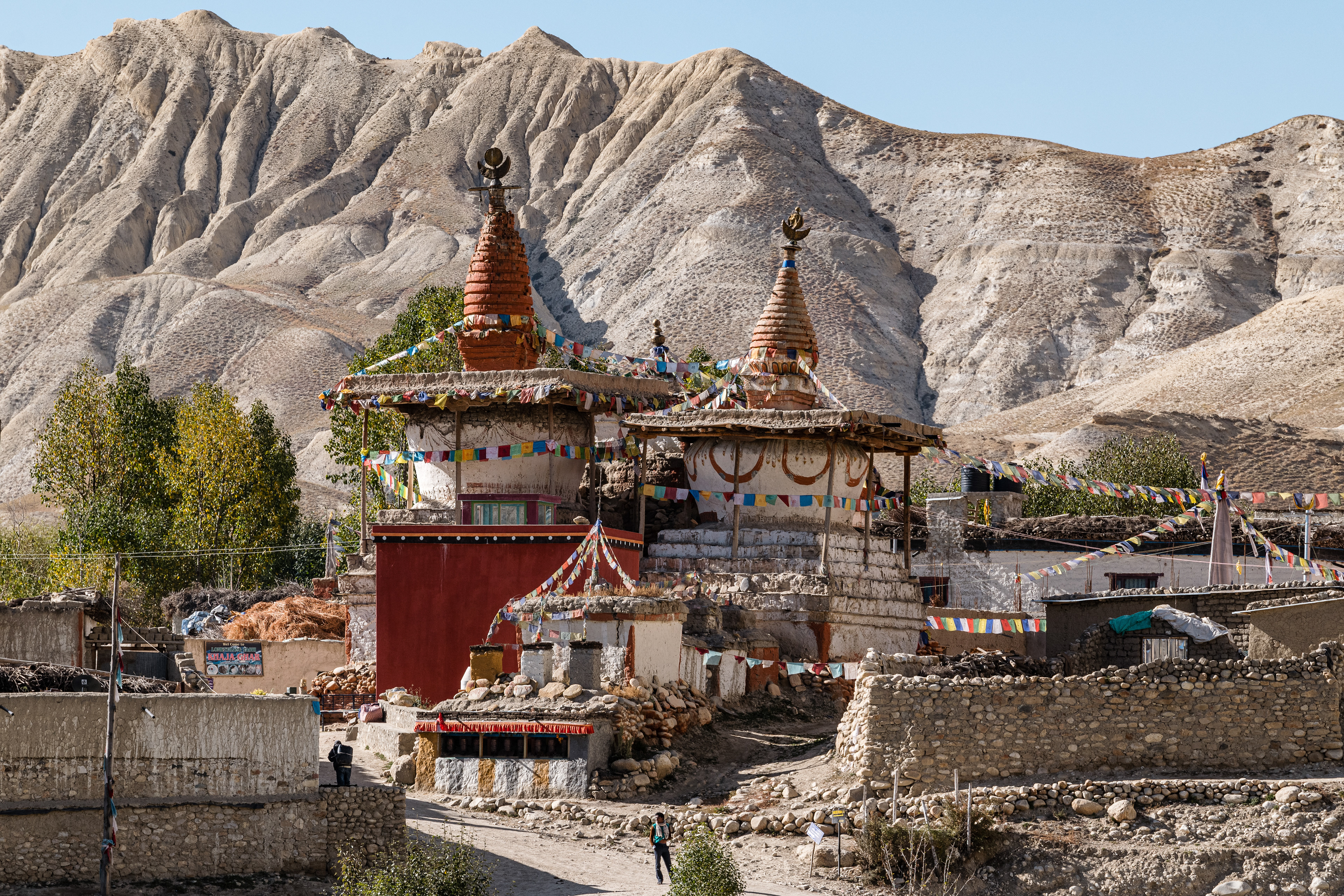
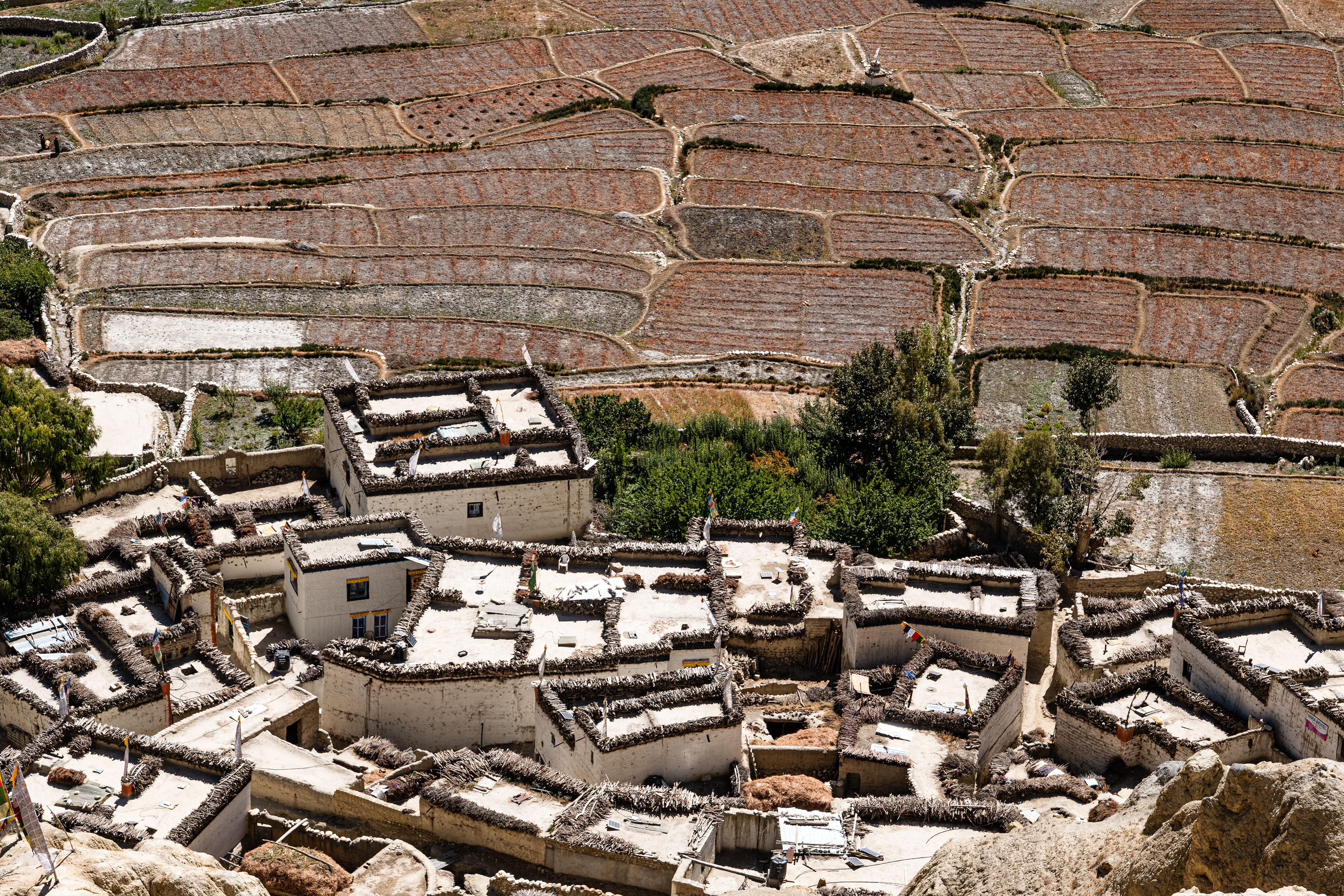
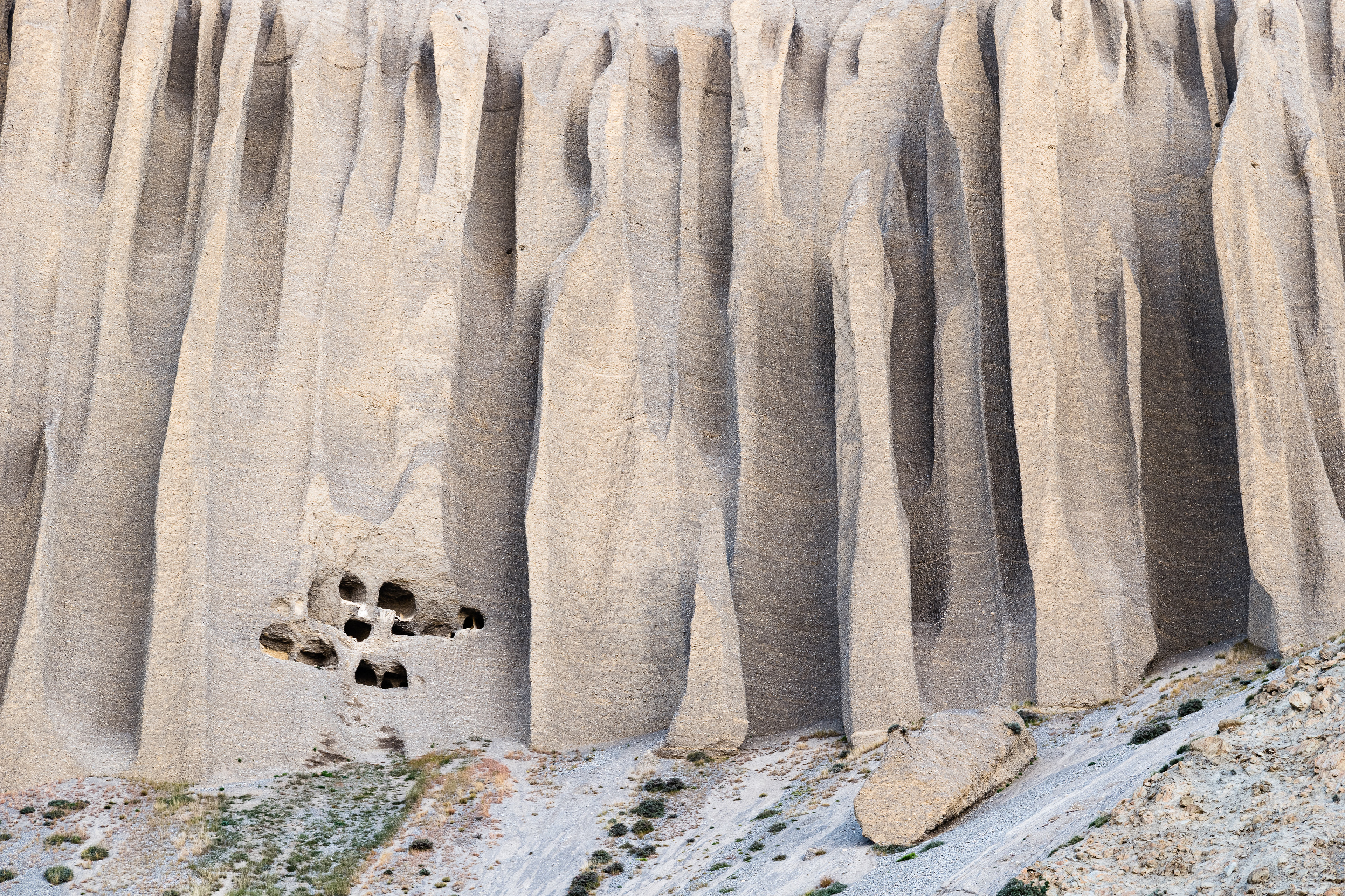
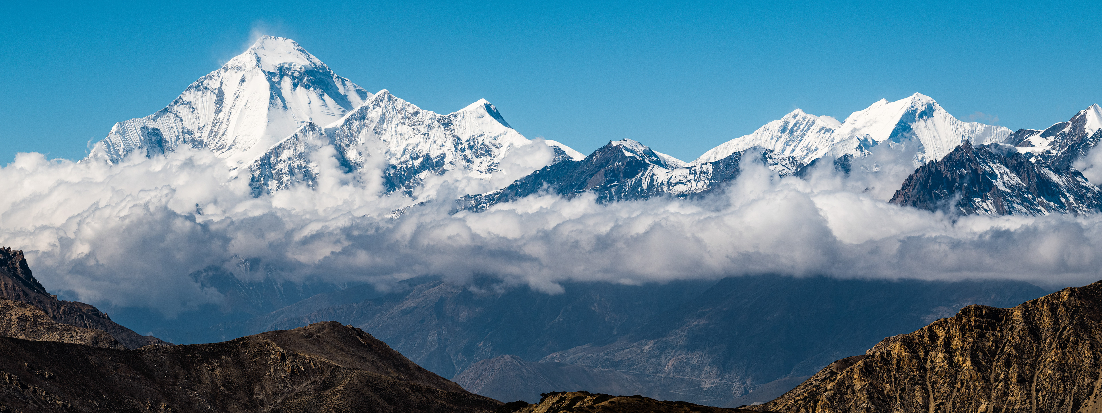
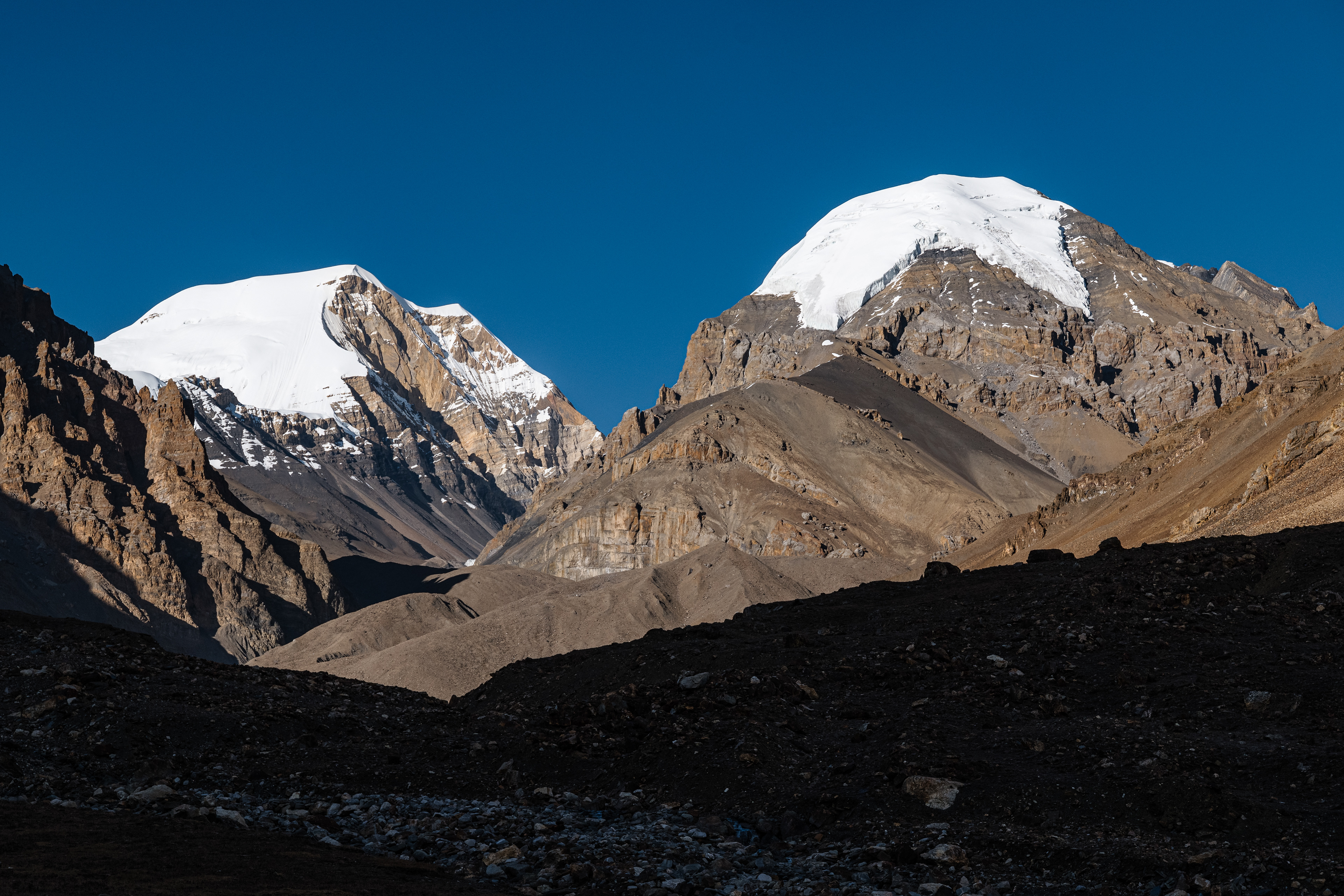
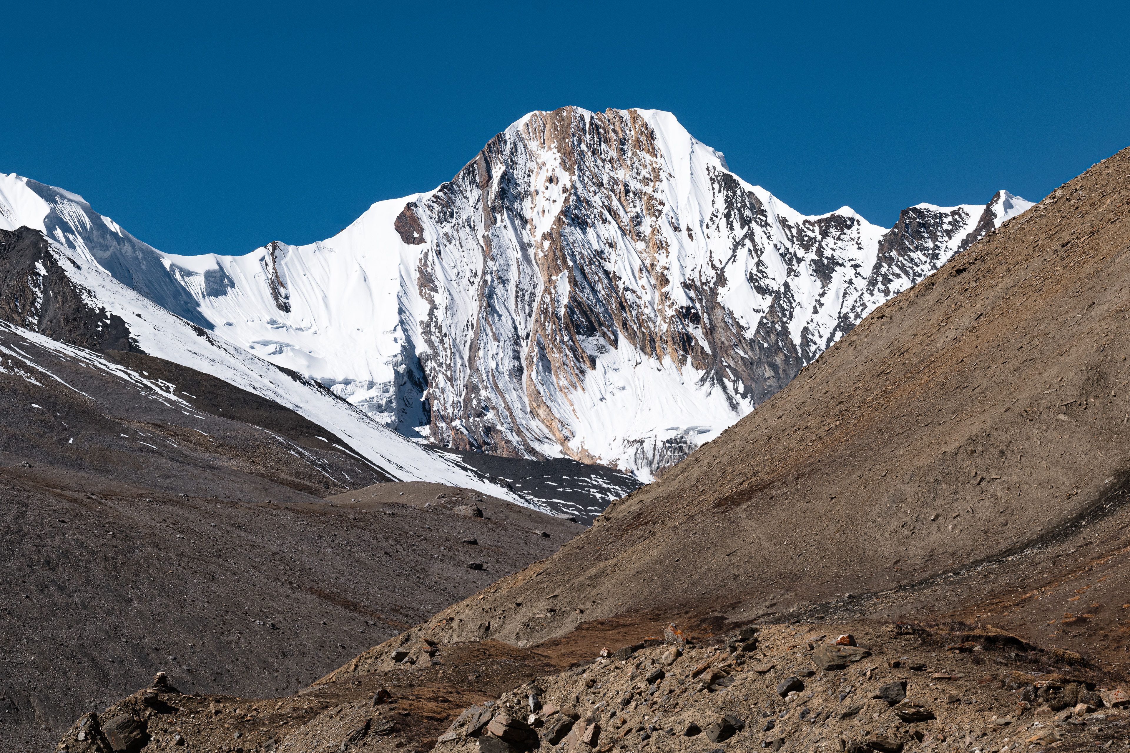
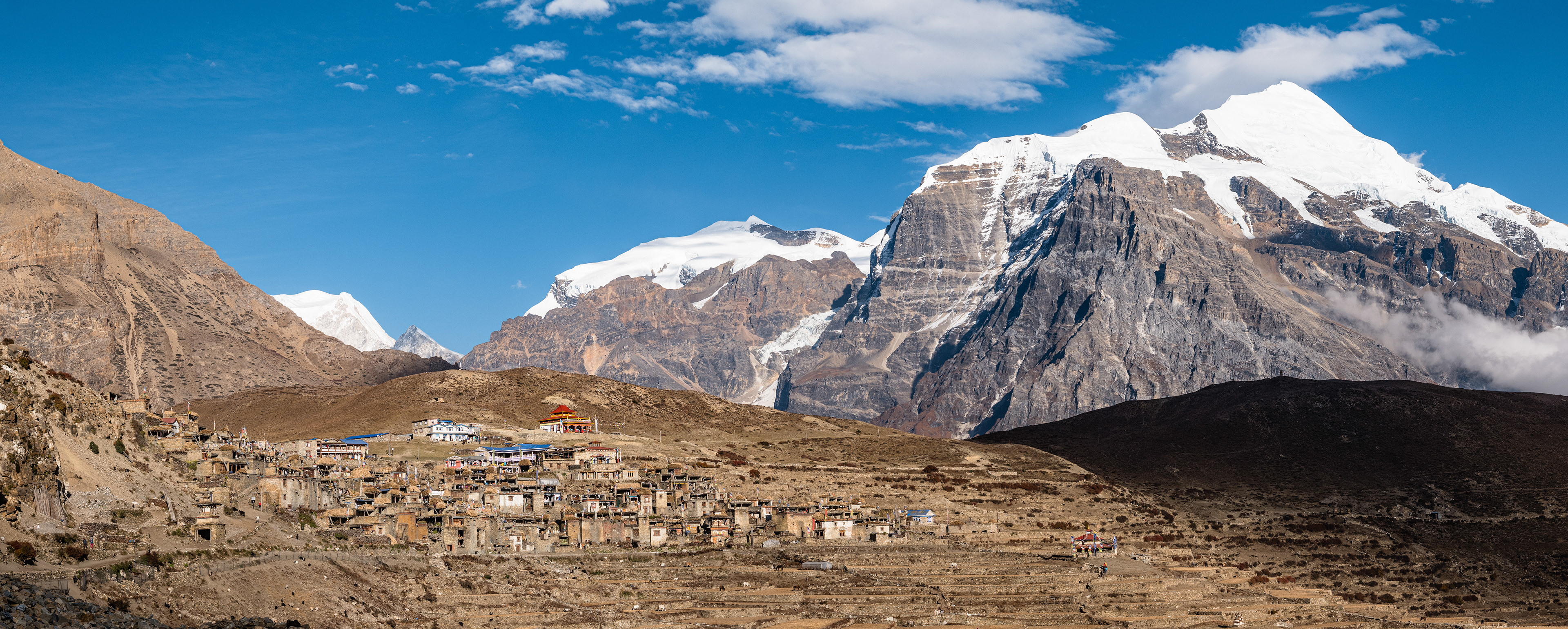
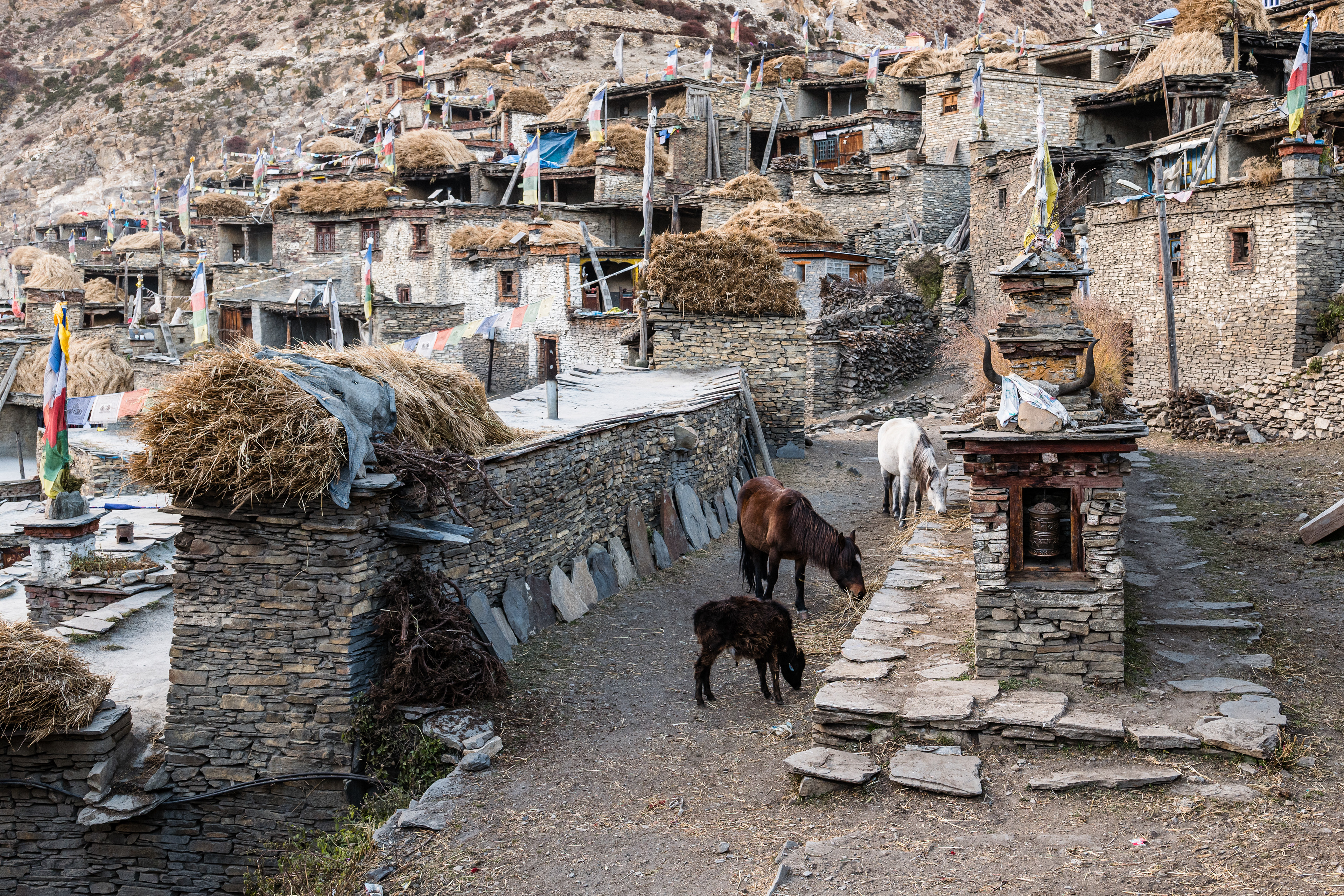
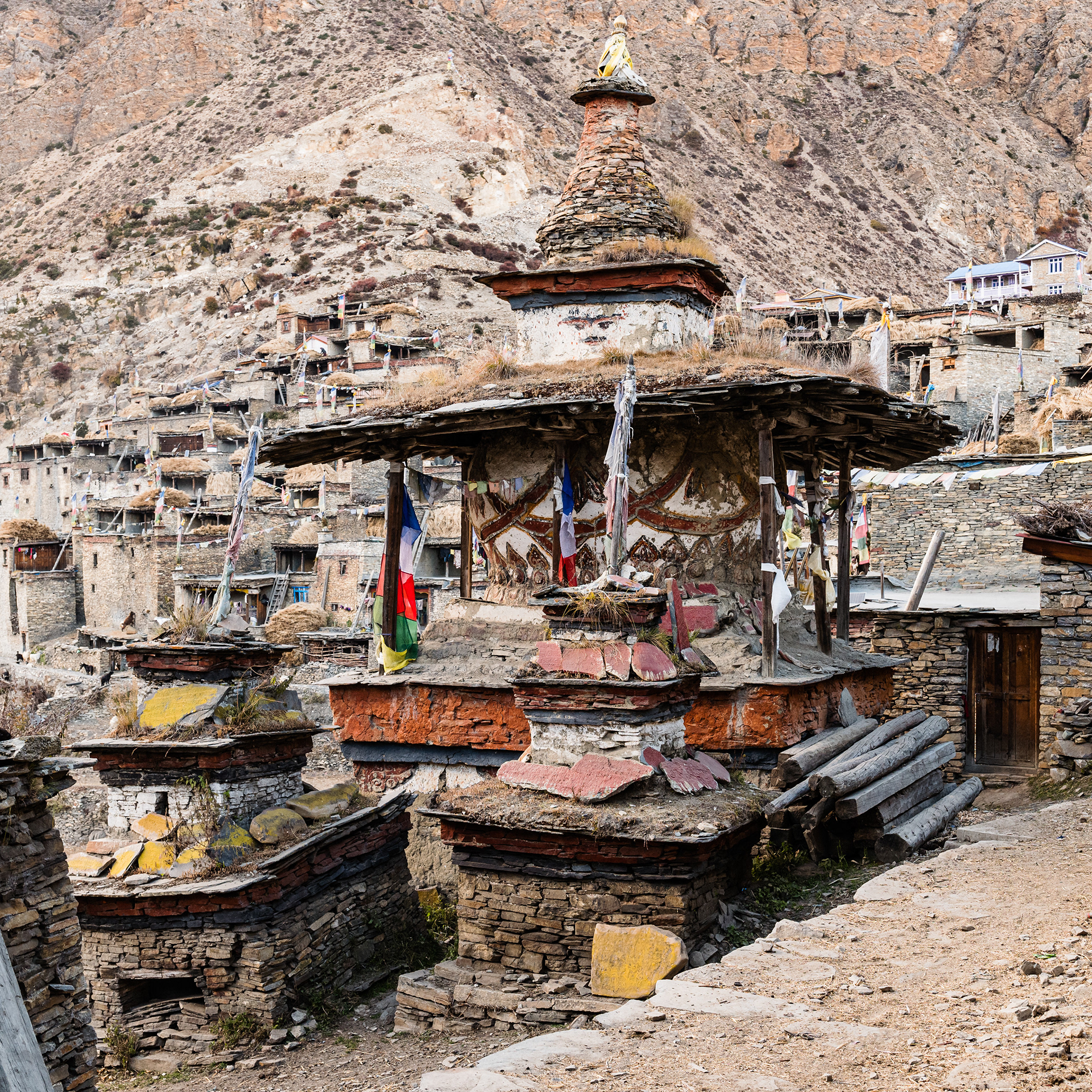
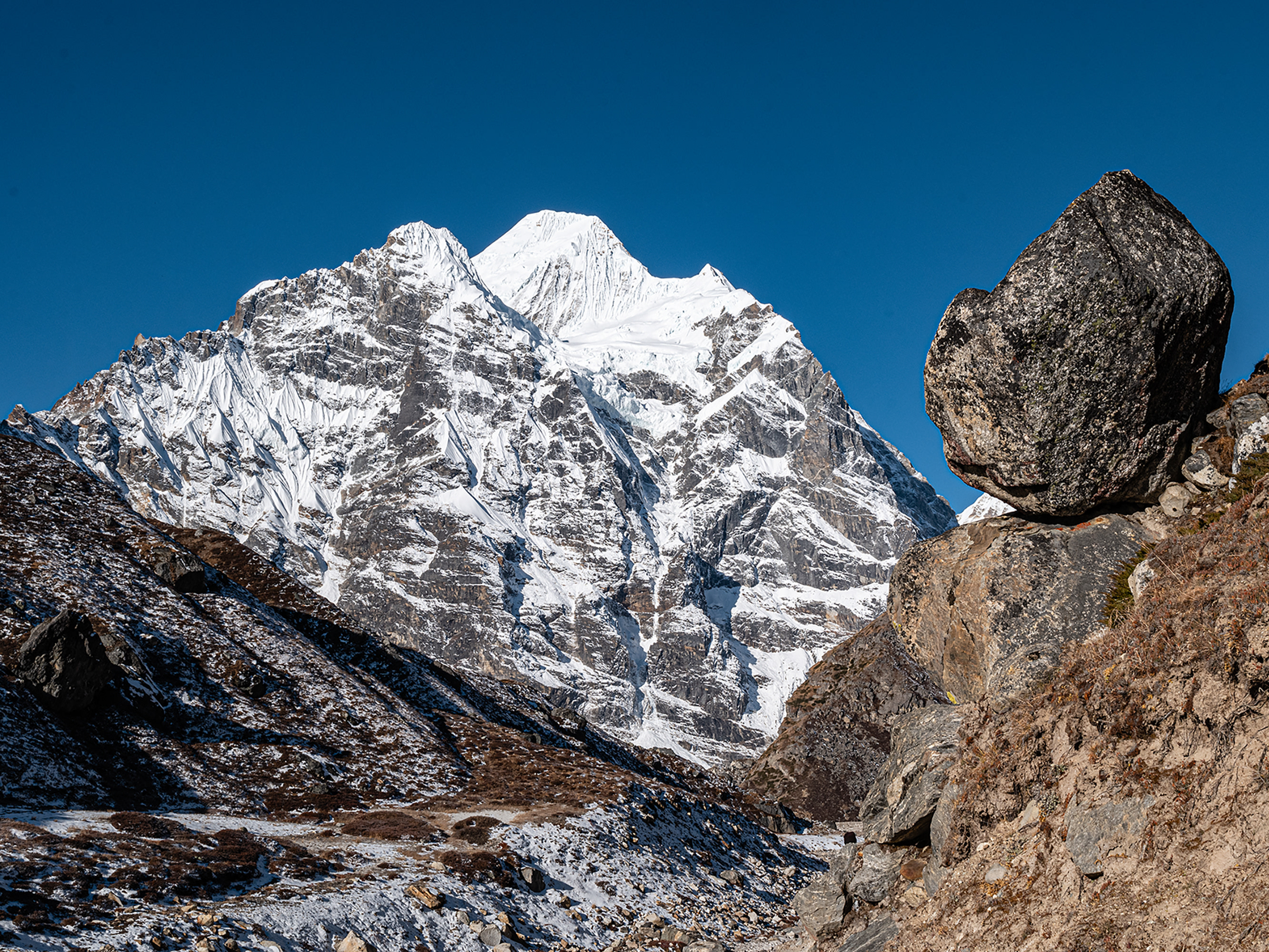
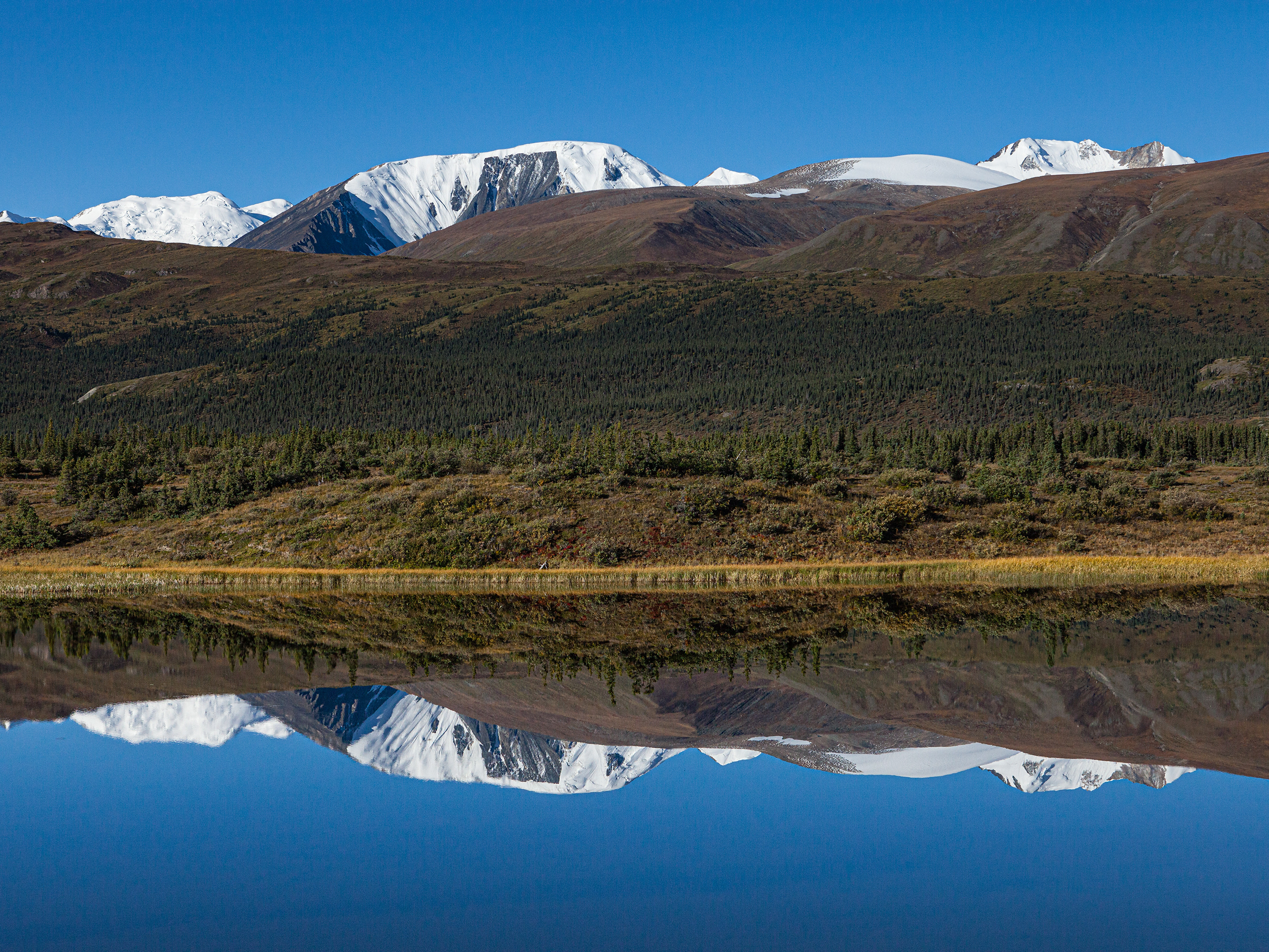
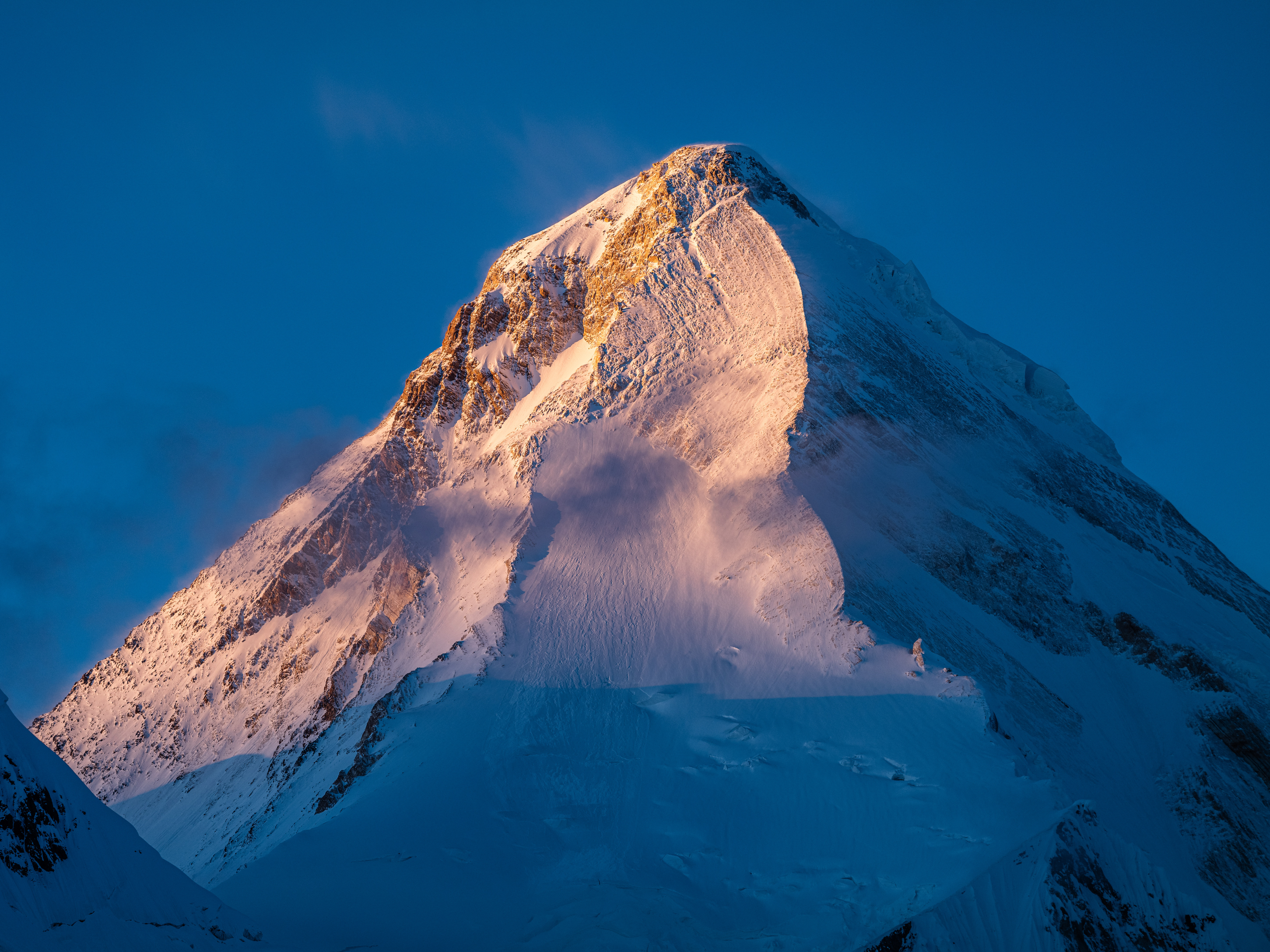
Mustang was an independent buddhist kingdom in the Himalayas. Today it belongs to Nepal and forms the northern part of the Nepalese district of Mustang. In the local language, the land is called Lo (south). The area is 2,563 square kilometers and is located at an altitude above 2,500 meters north of the Annapurna massif. Mustang borders the Tibet Autonomous Region in China to the north. Due to its geographical location in the rain shadow of the surrounding very high mountains, it is climatically very dry.
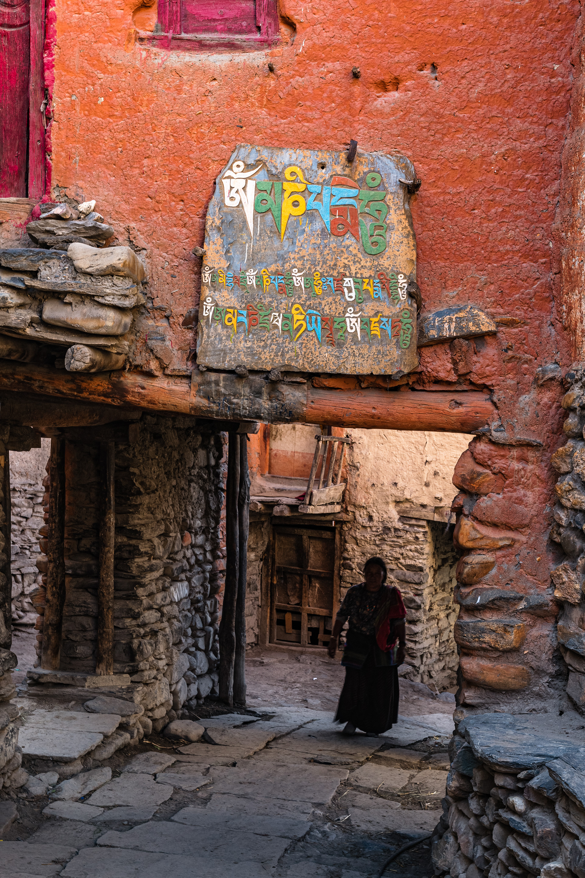
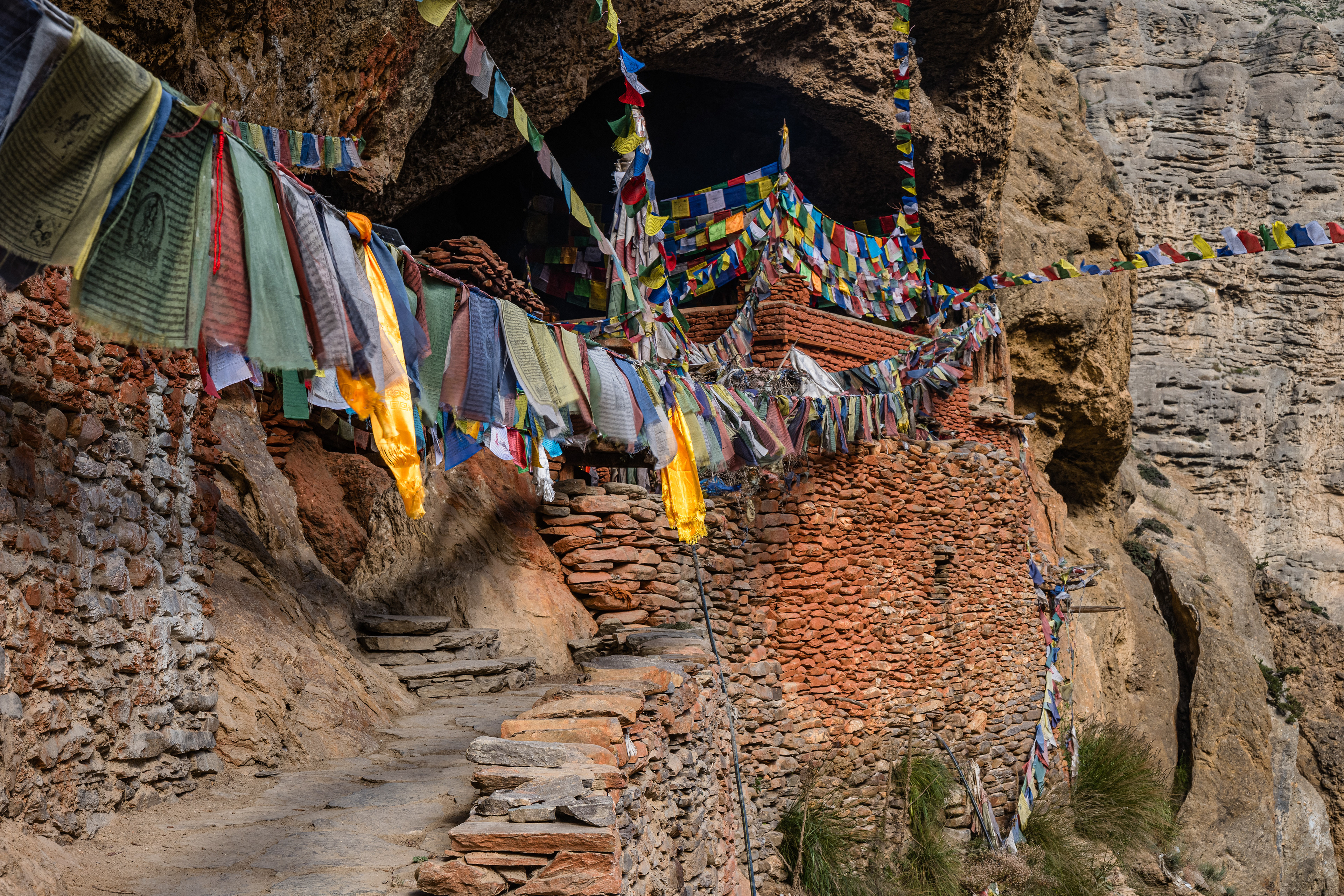
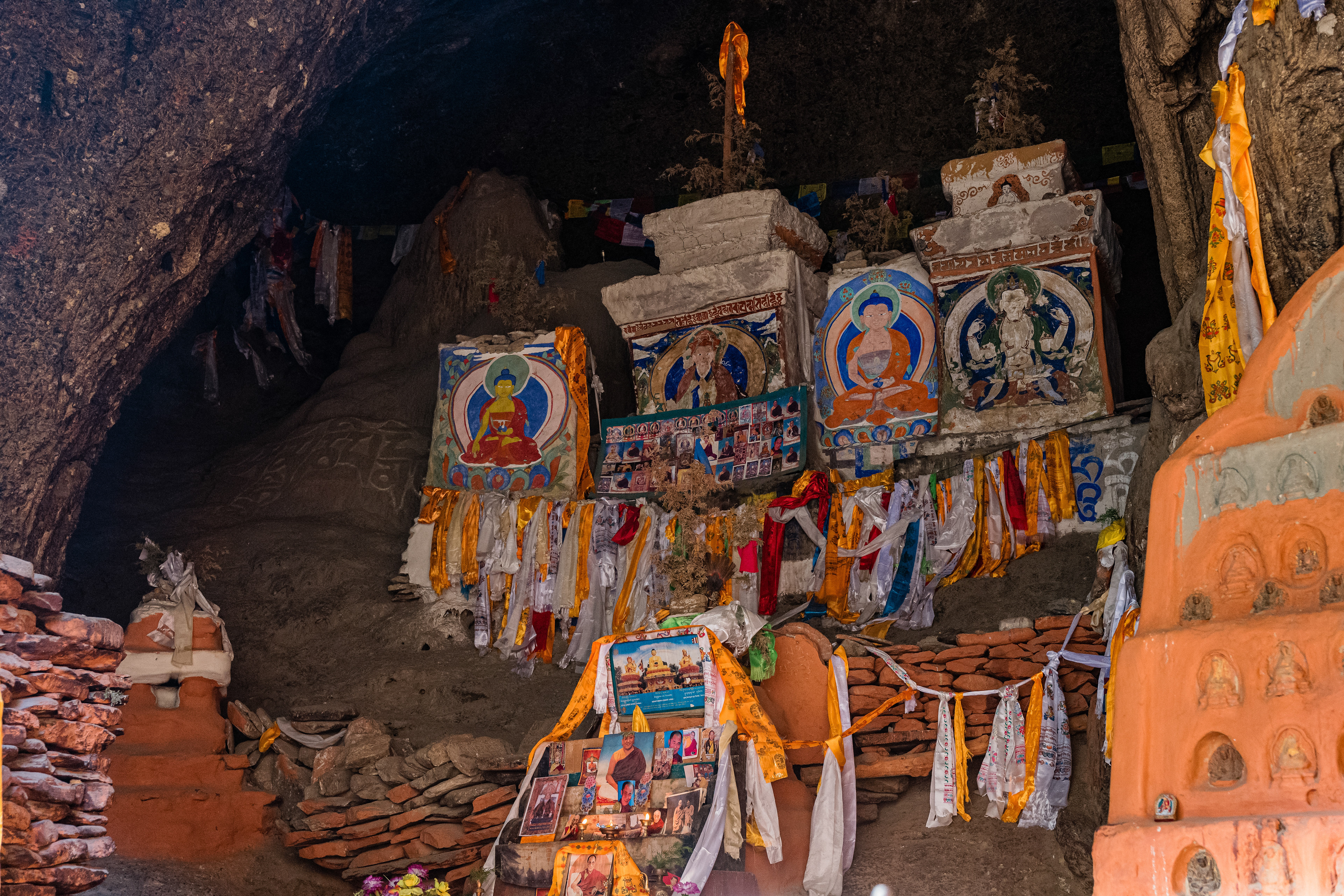
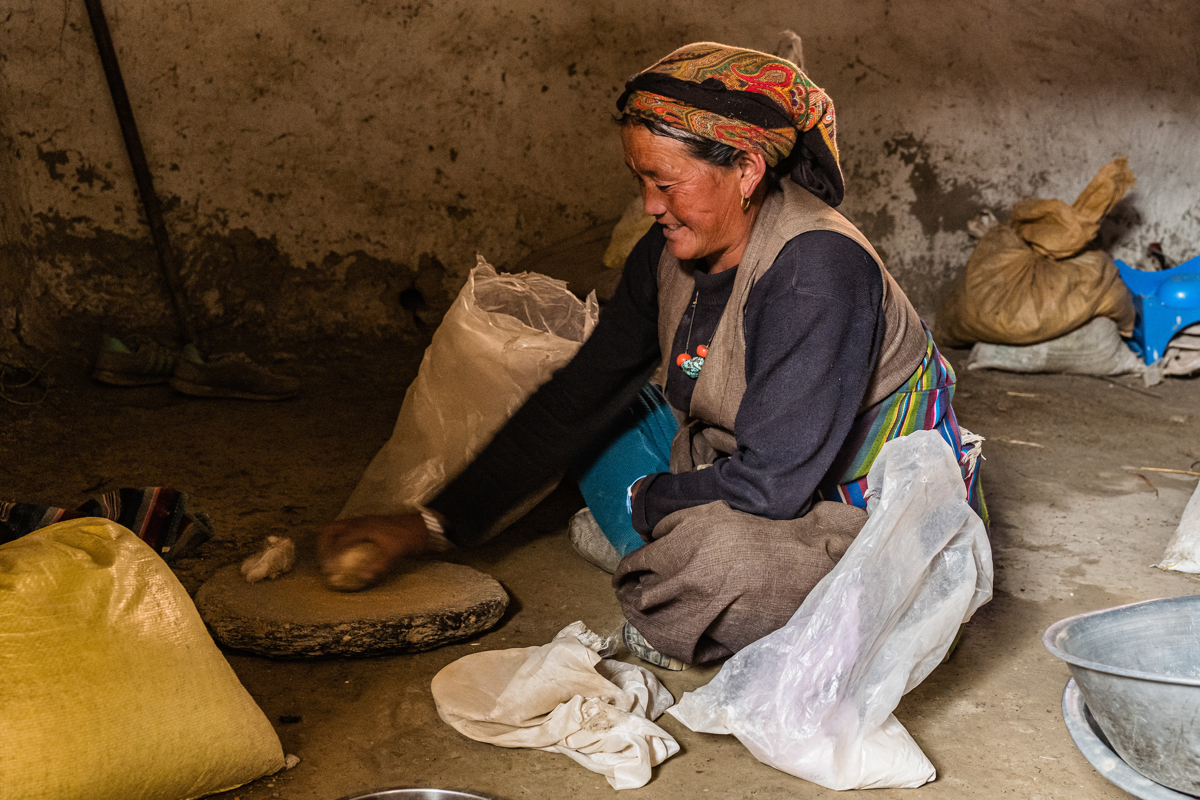
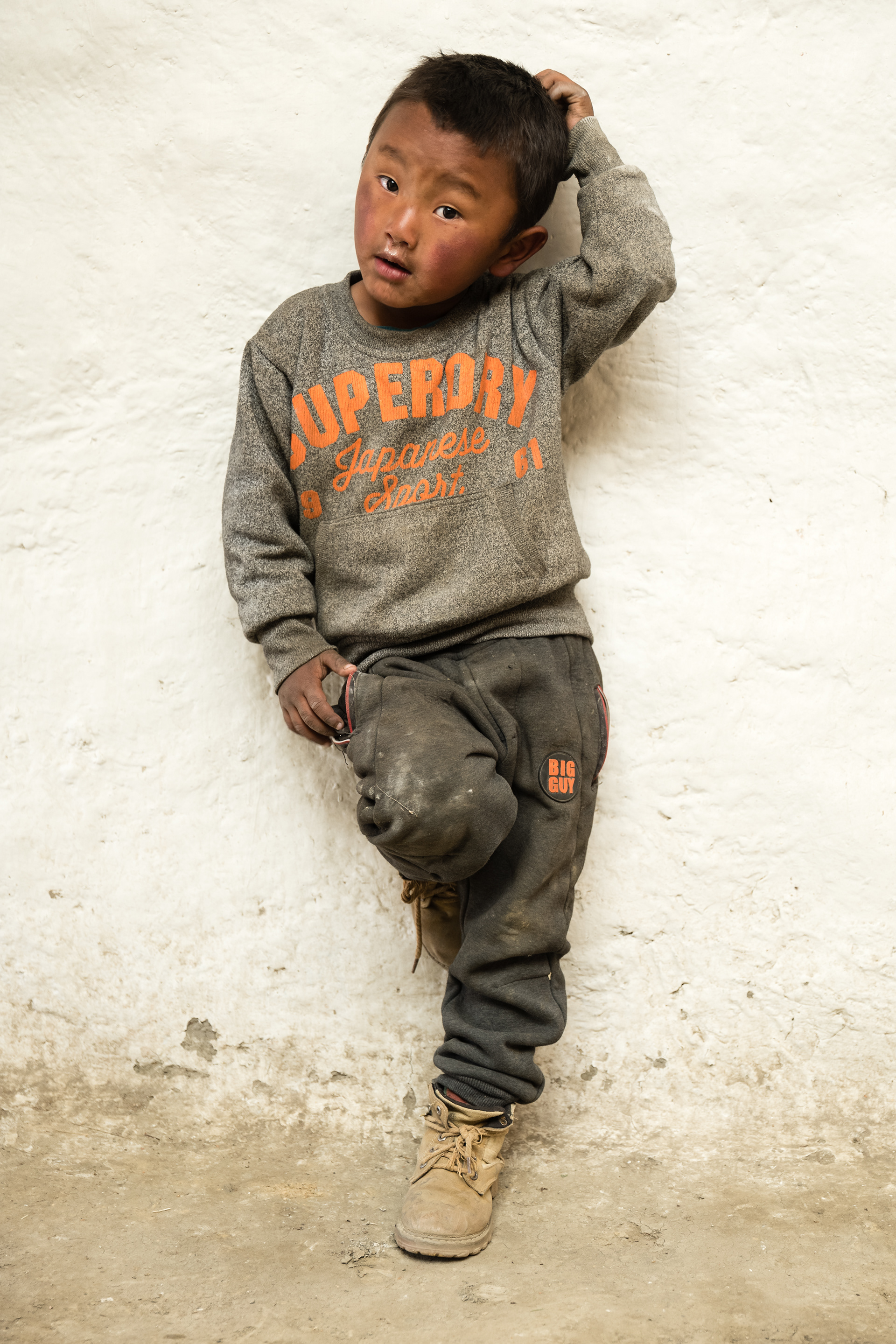
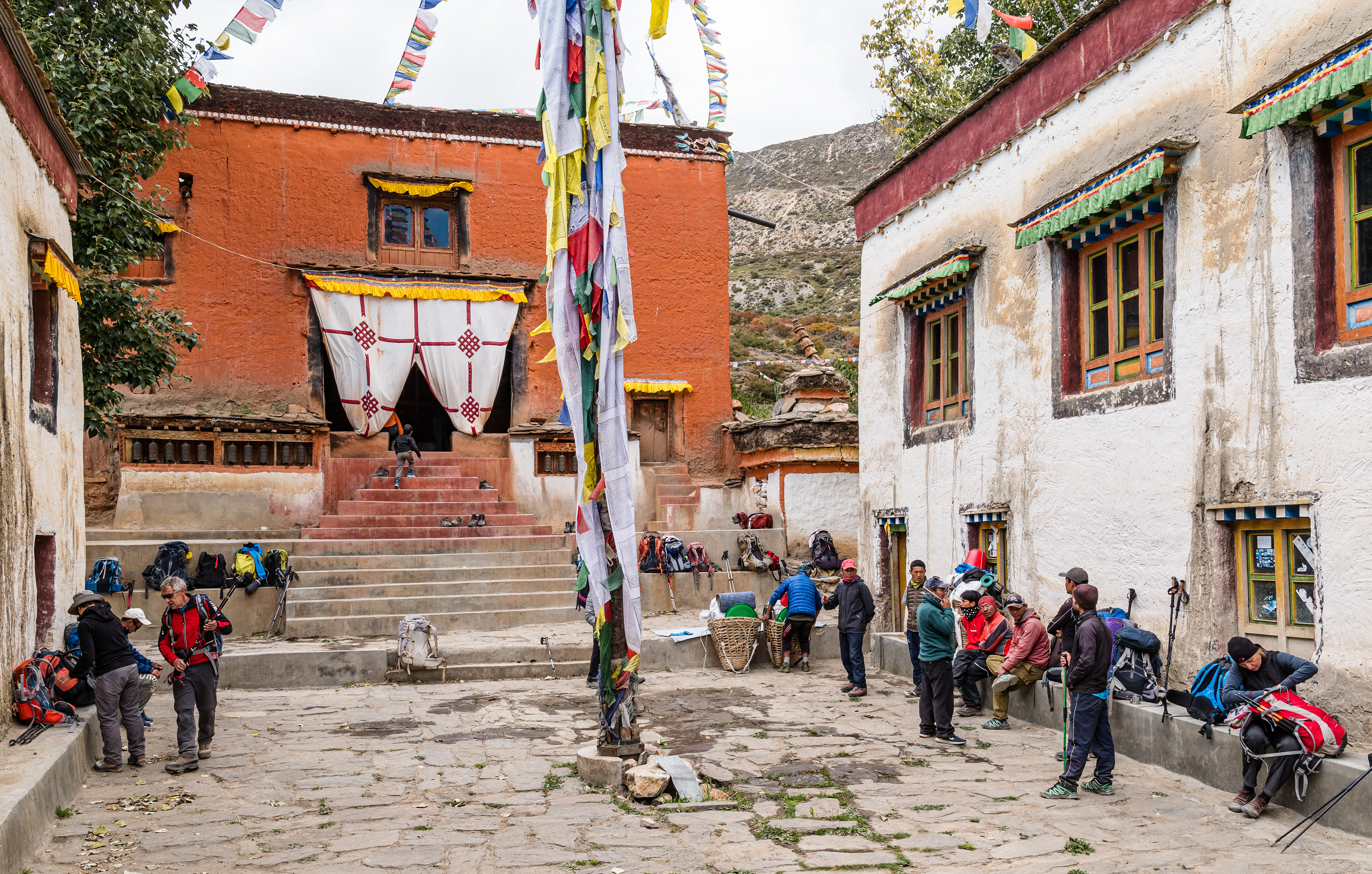
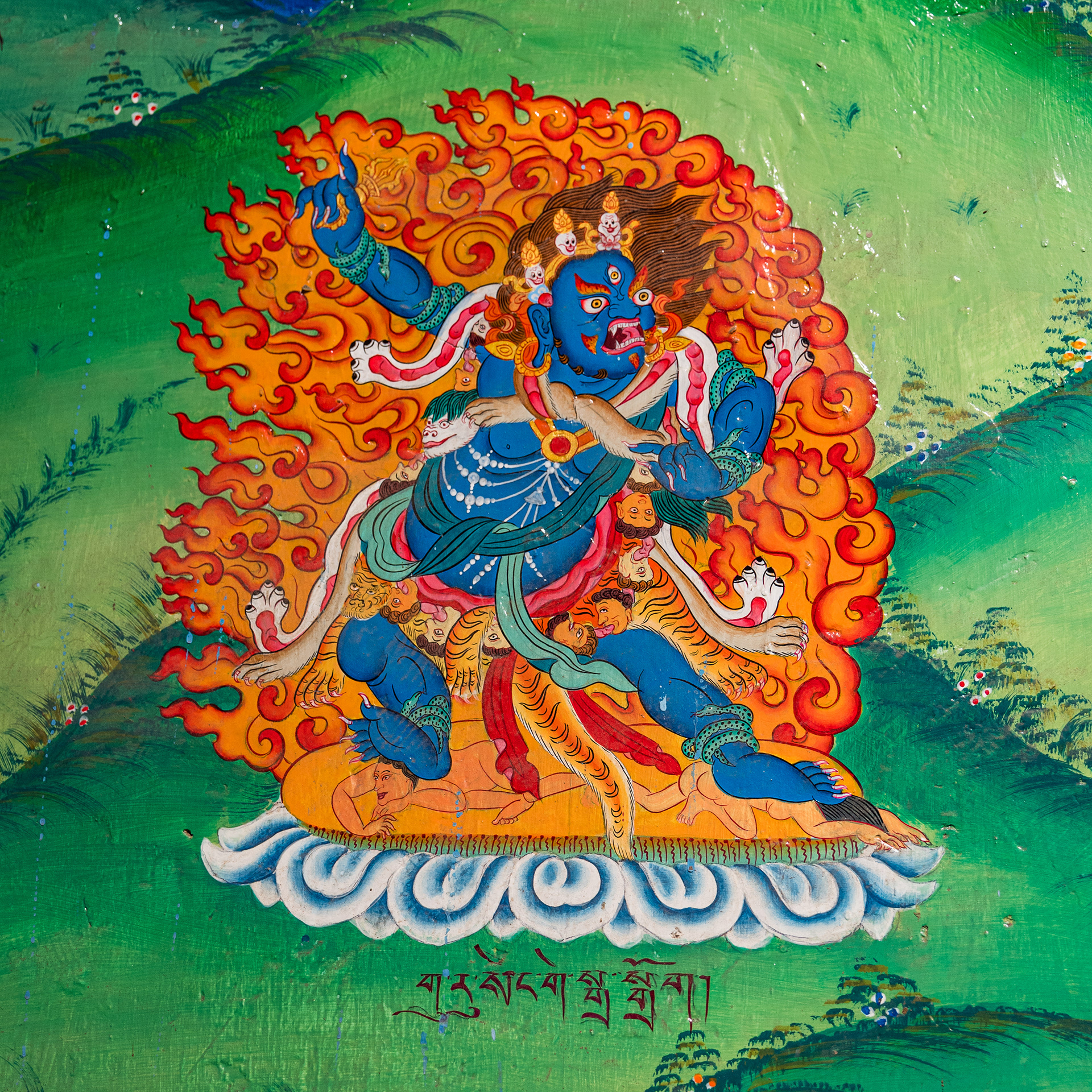
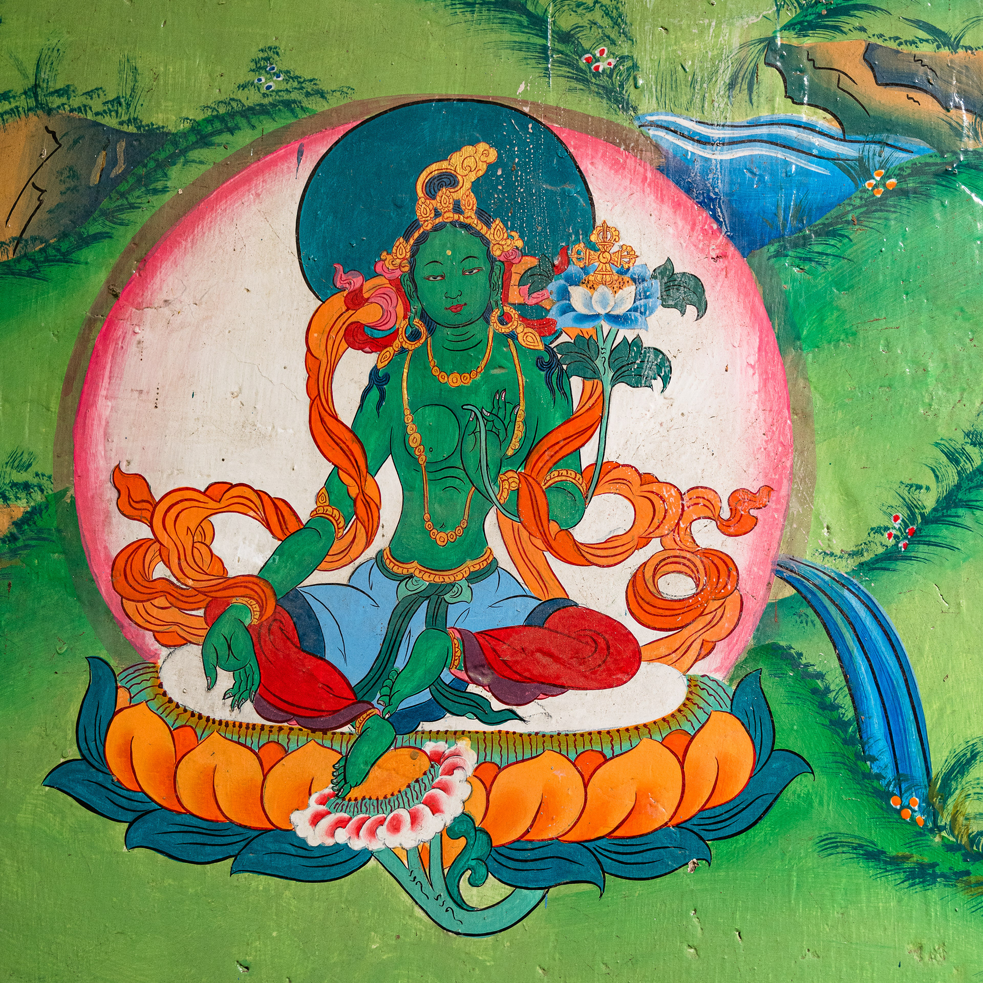
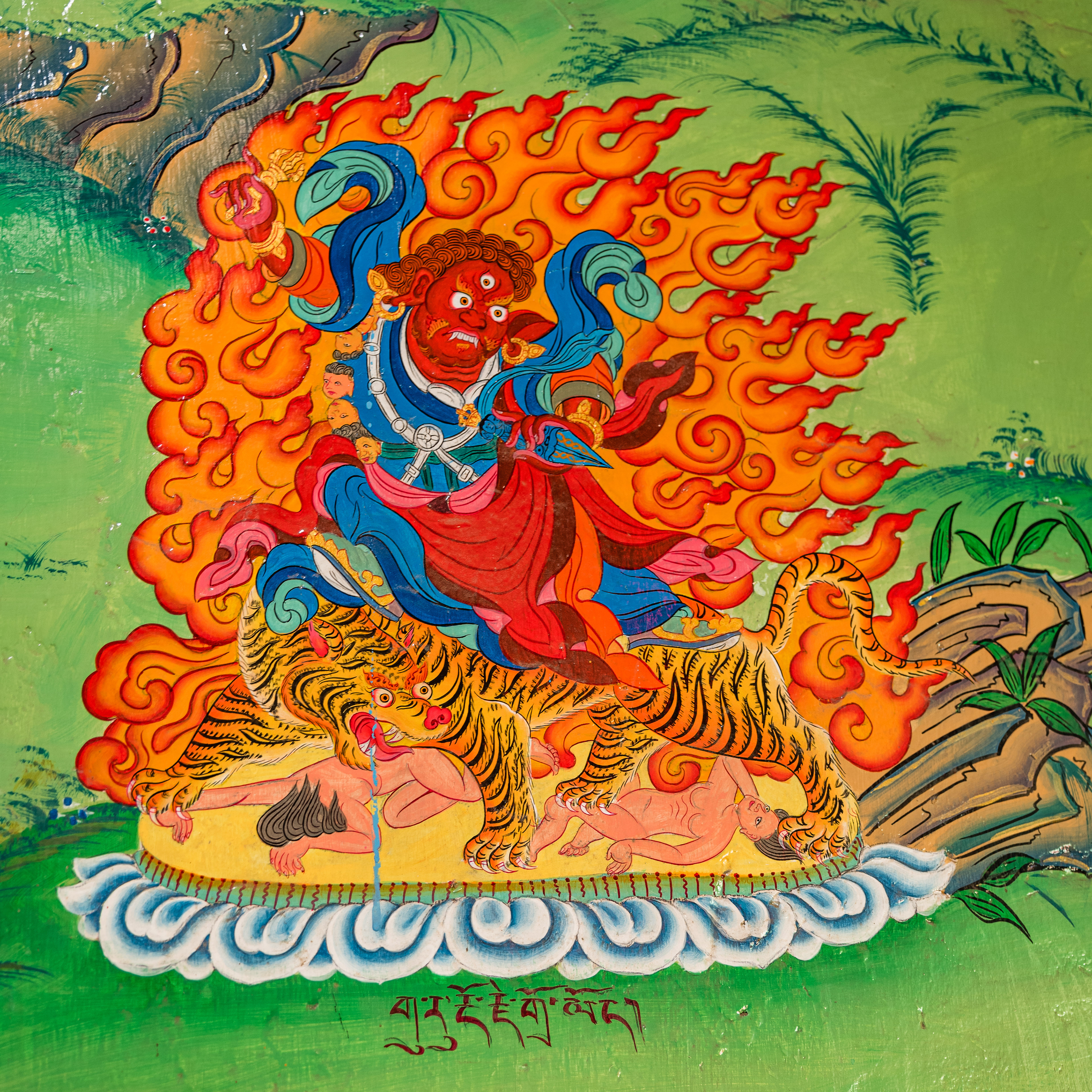
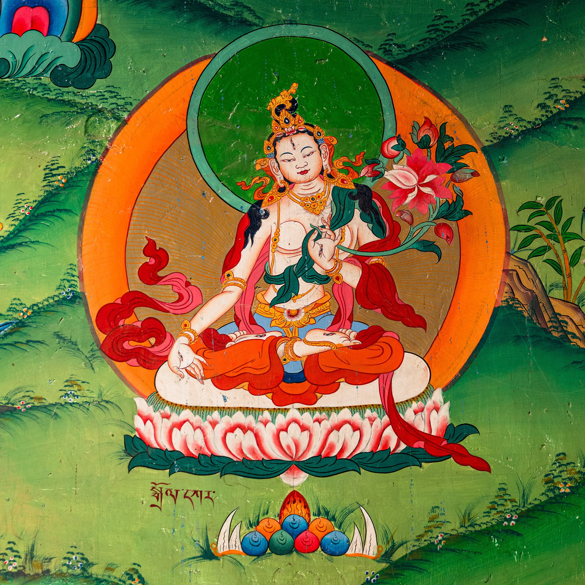
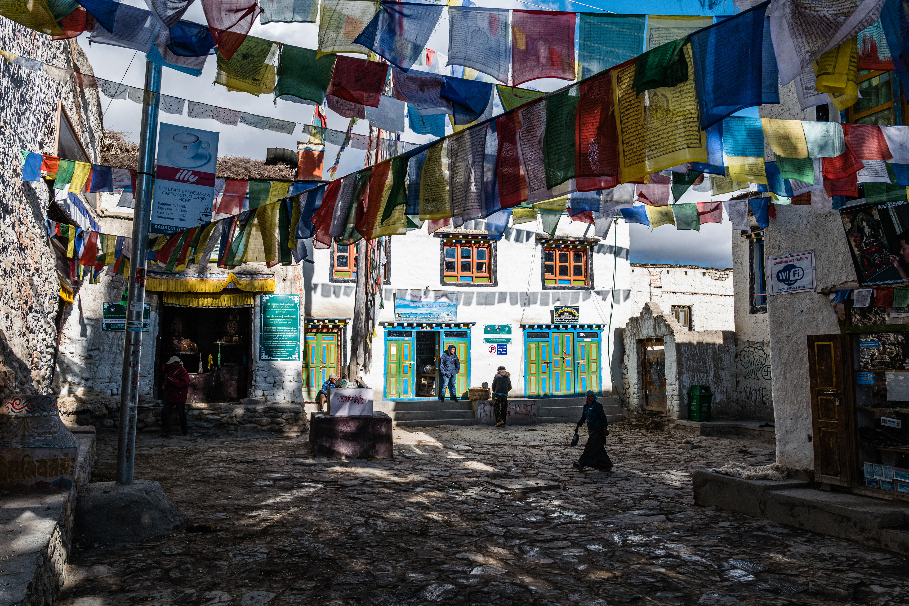
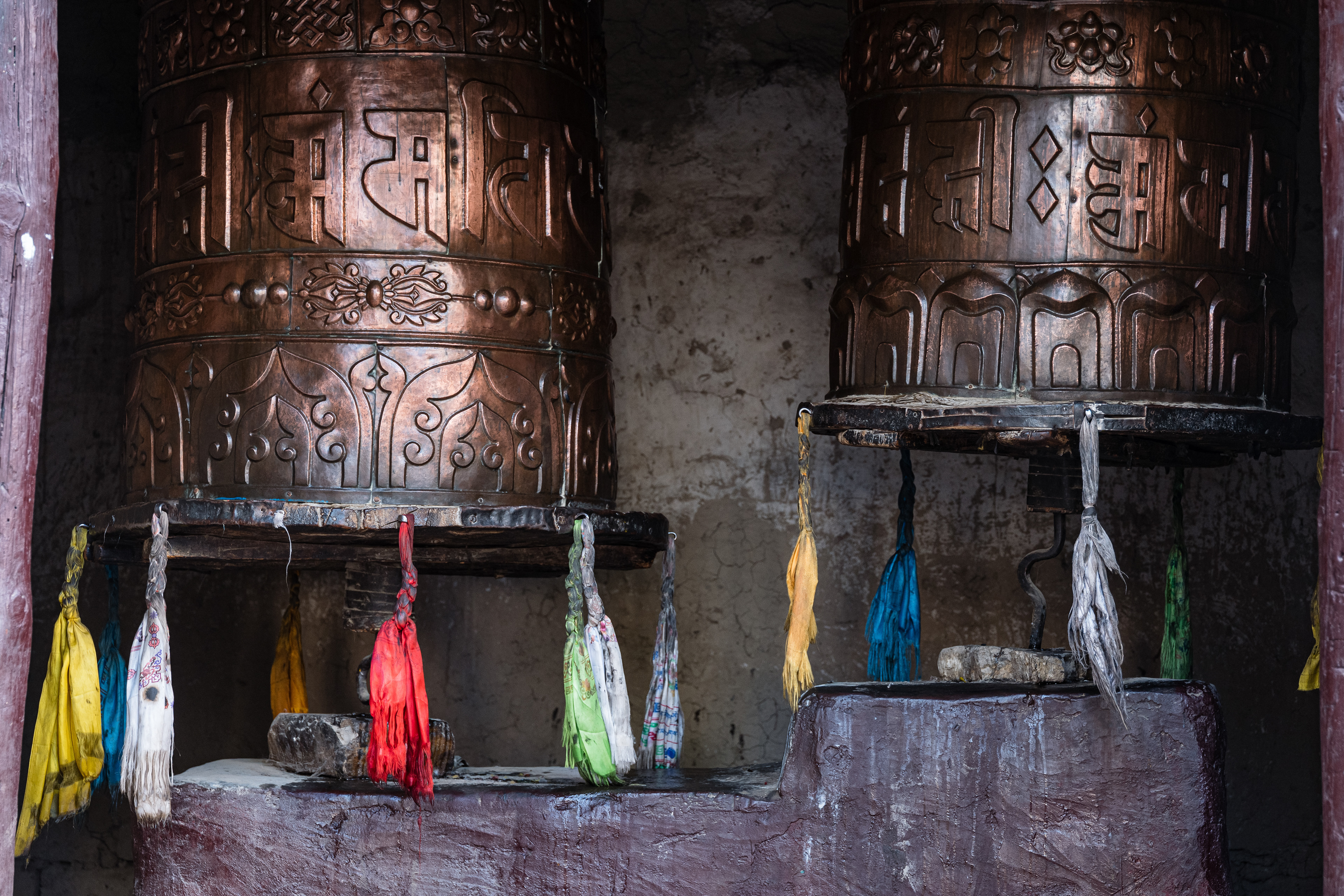
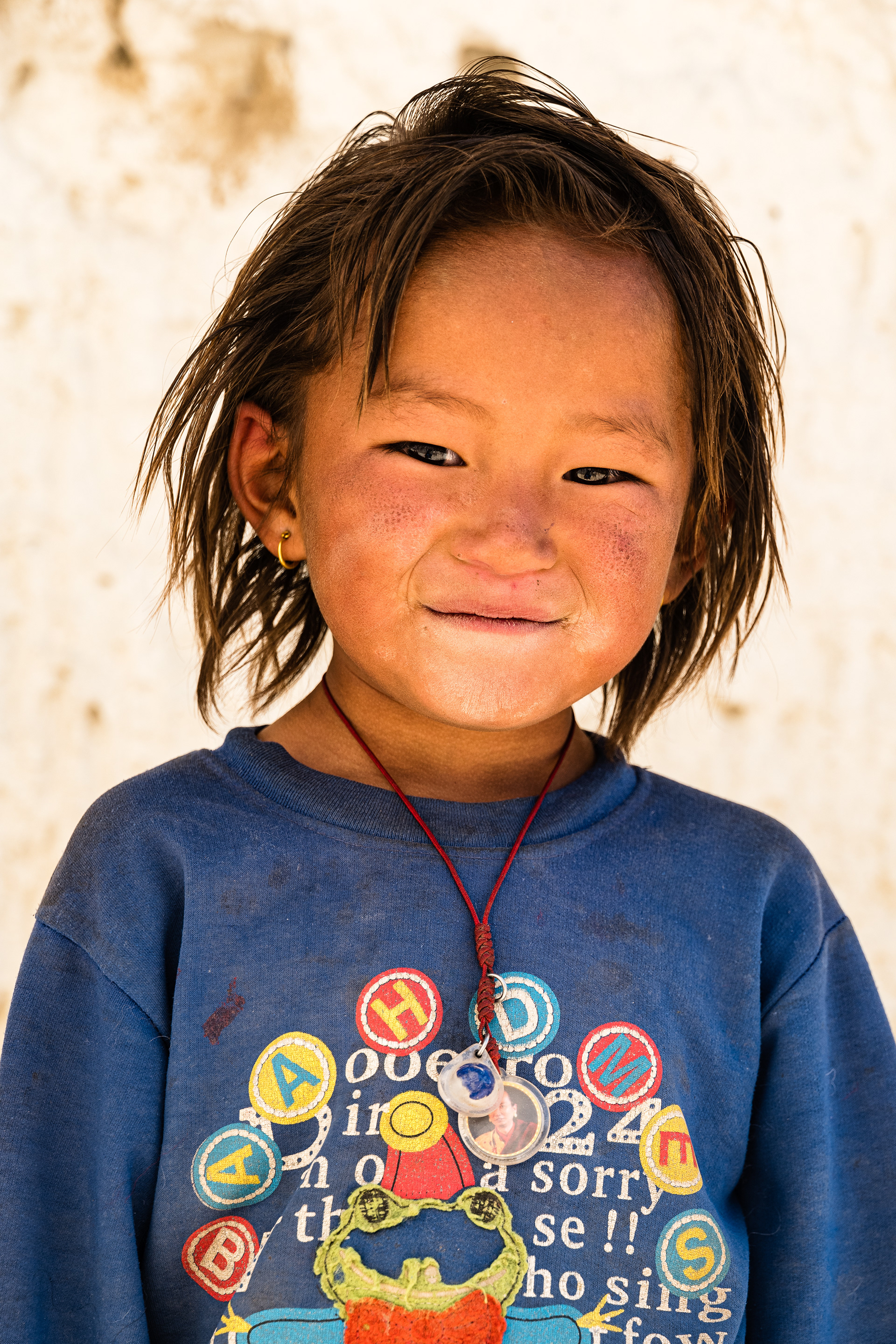
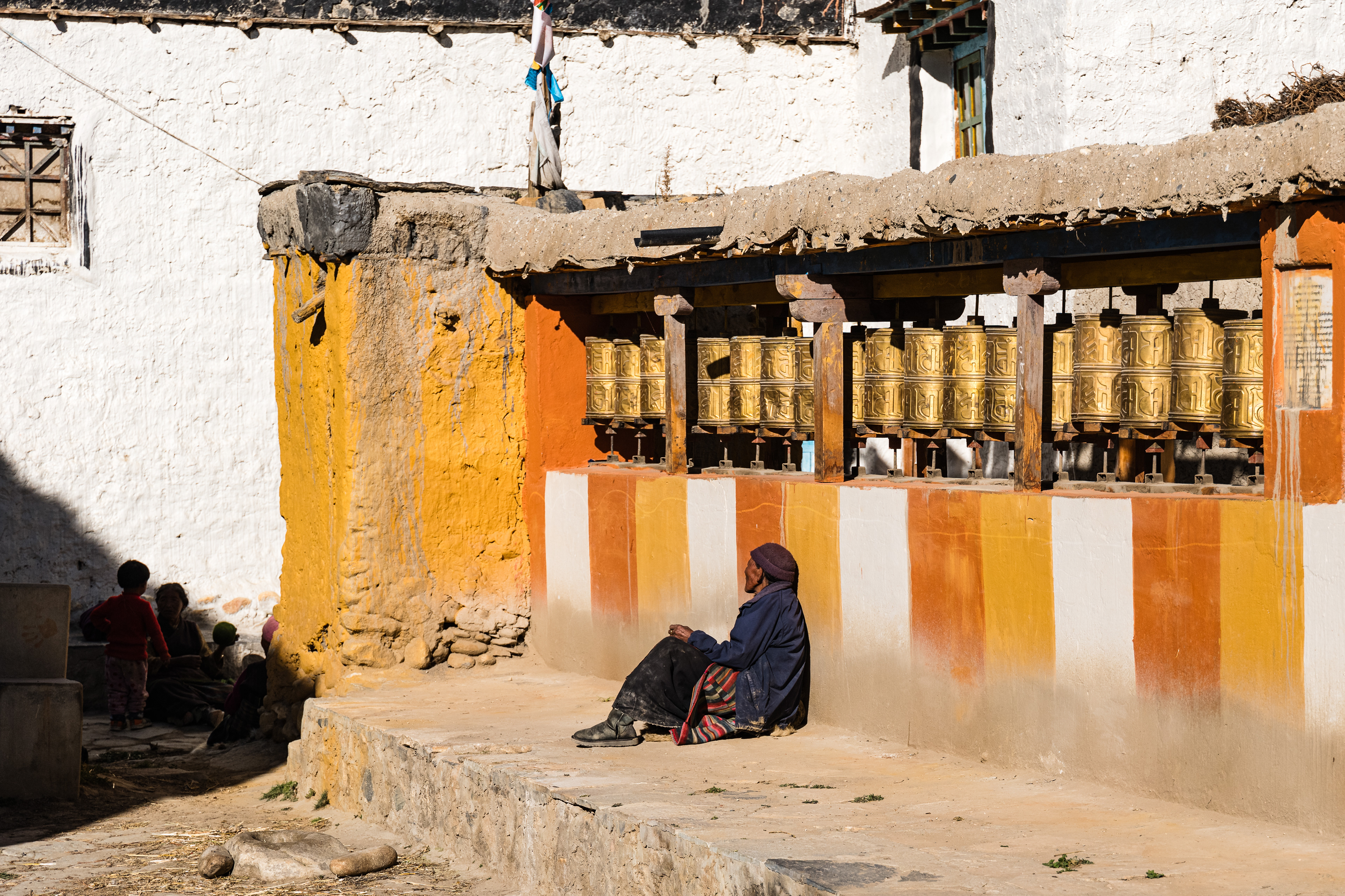
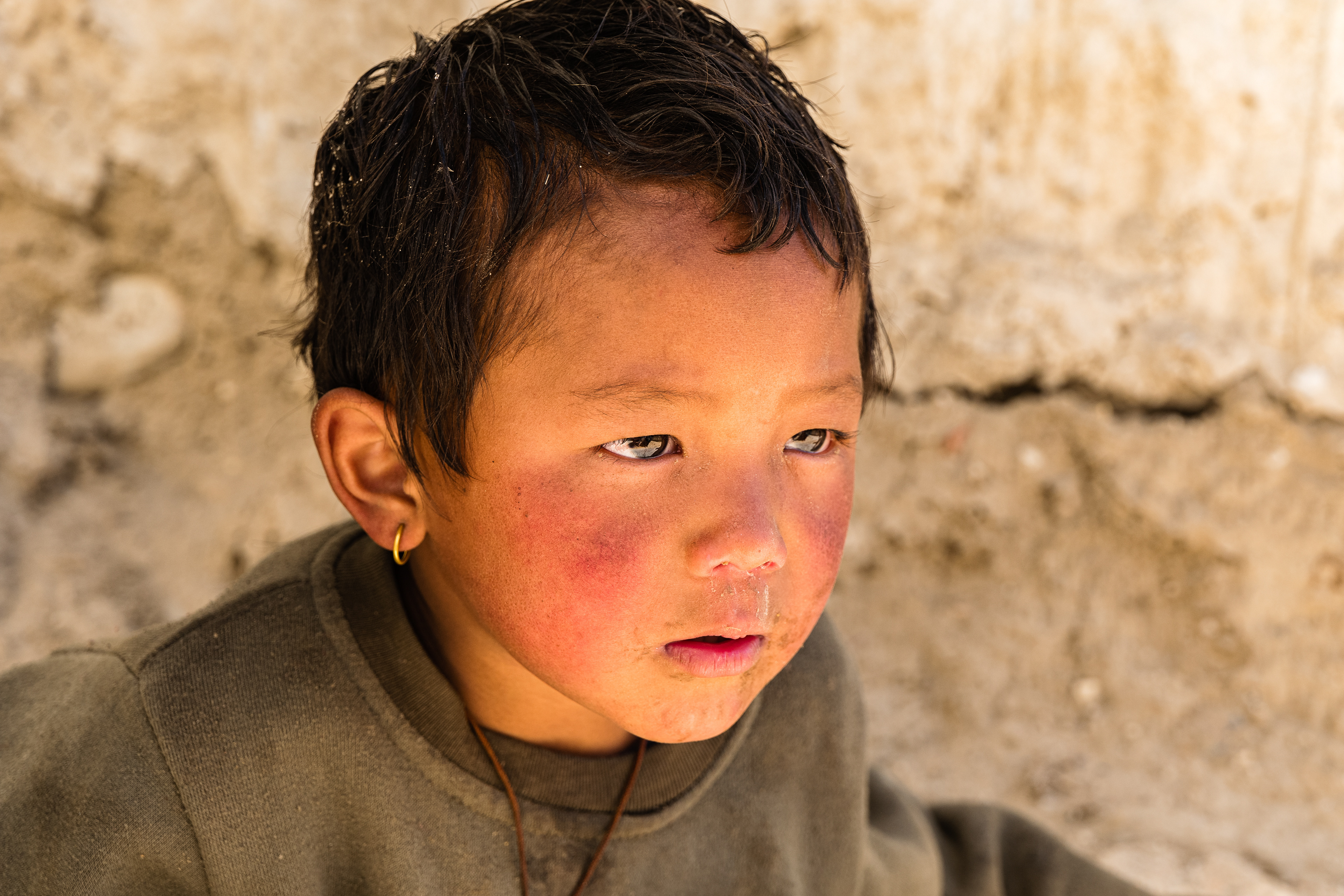
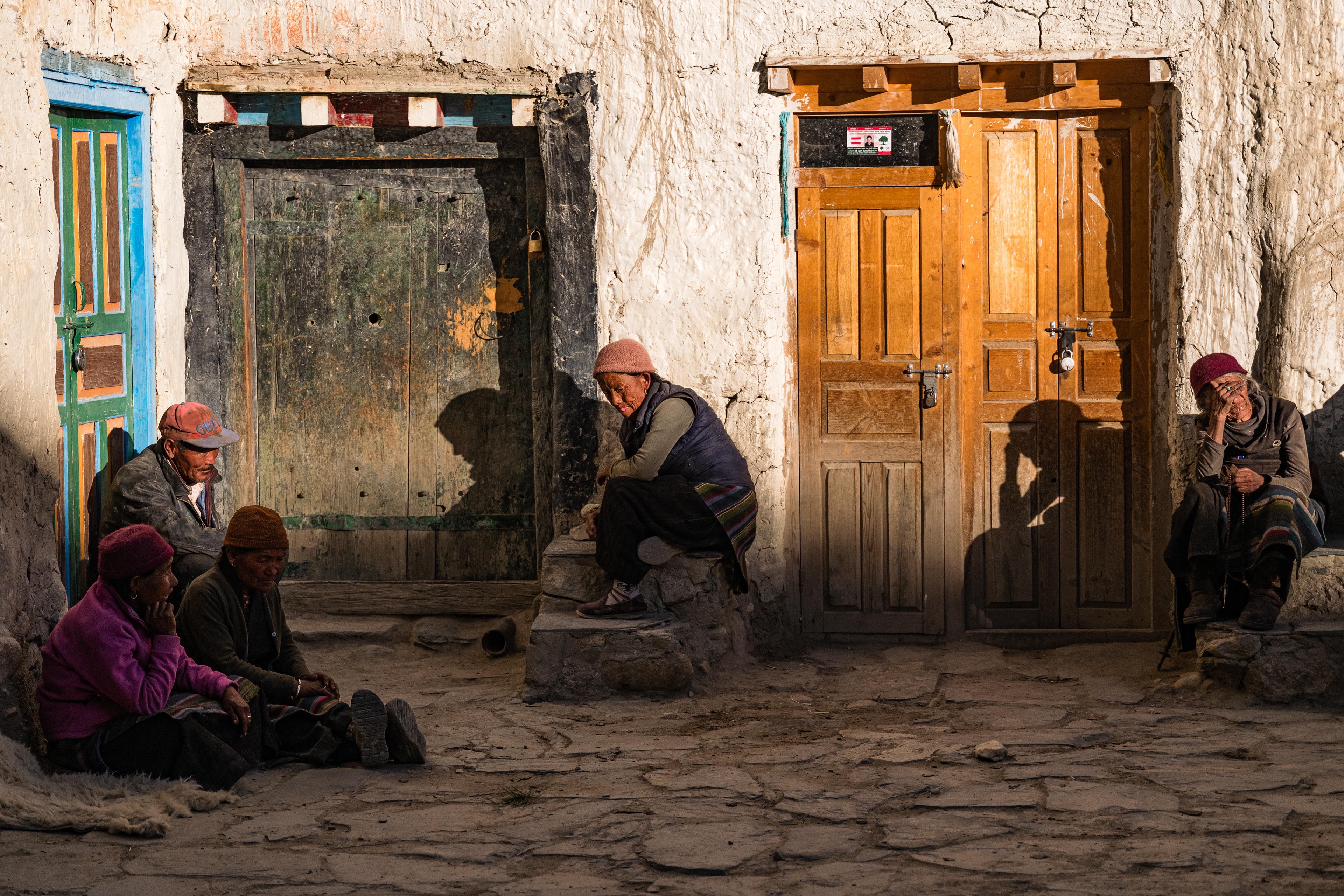
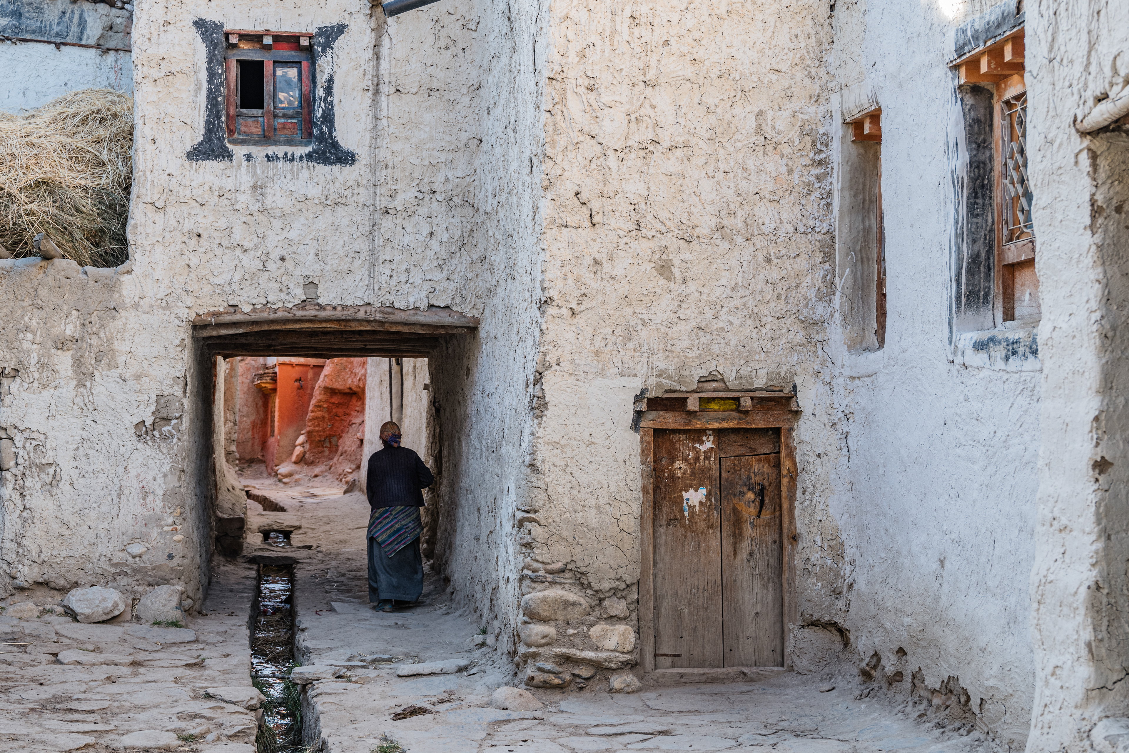
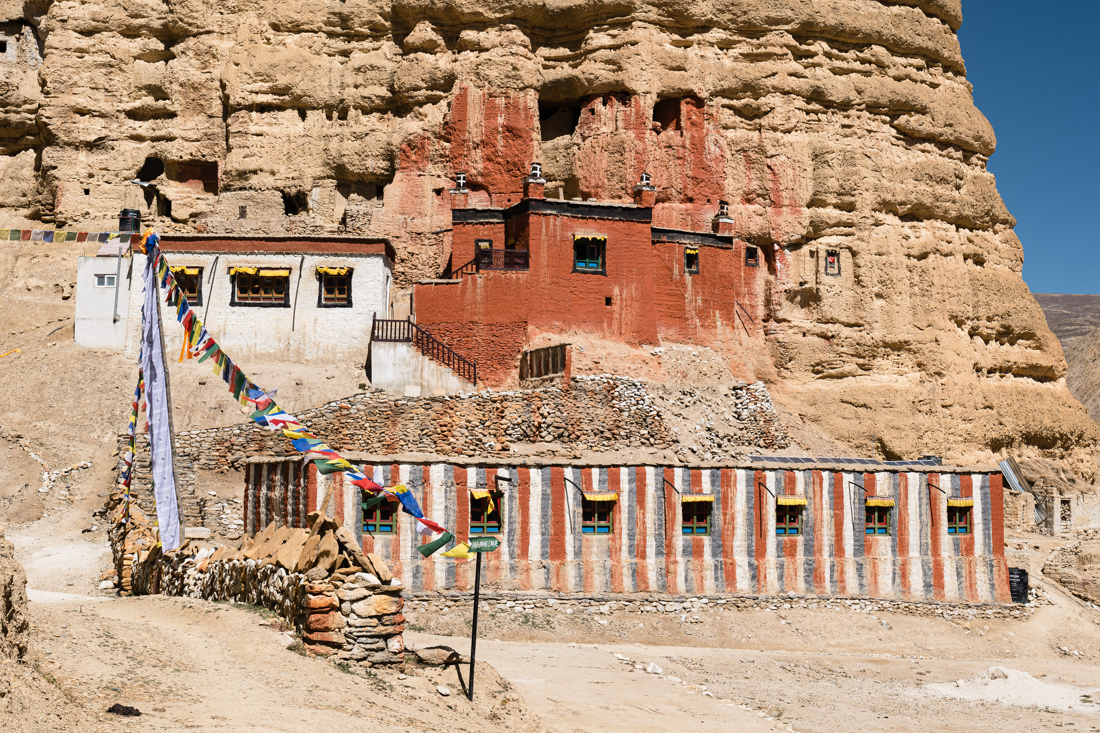
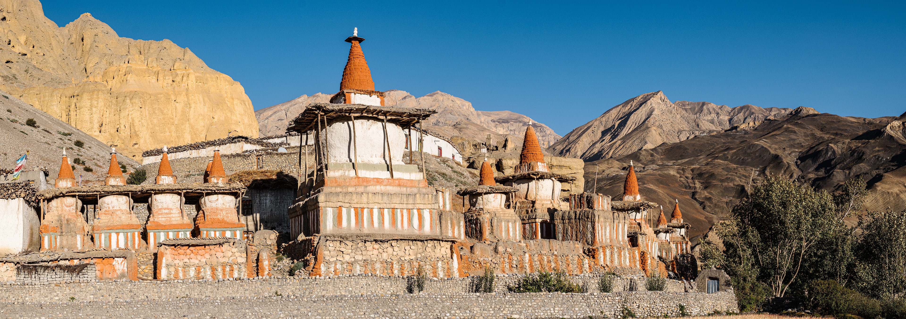
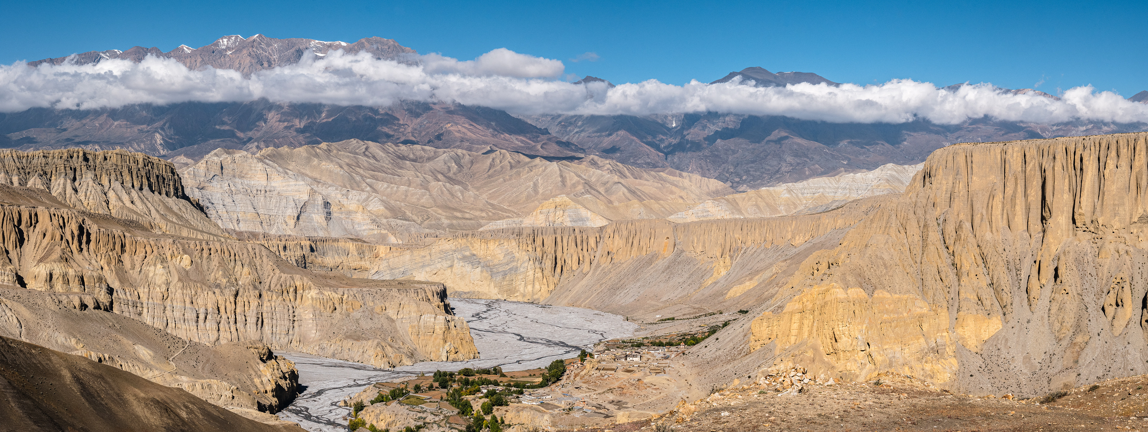
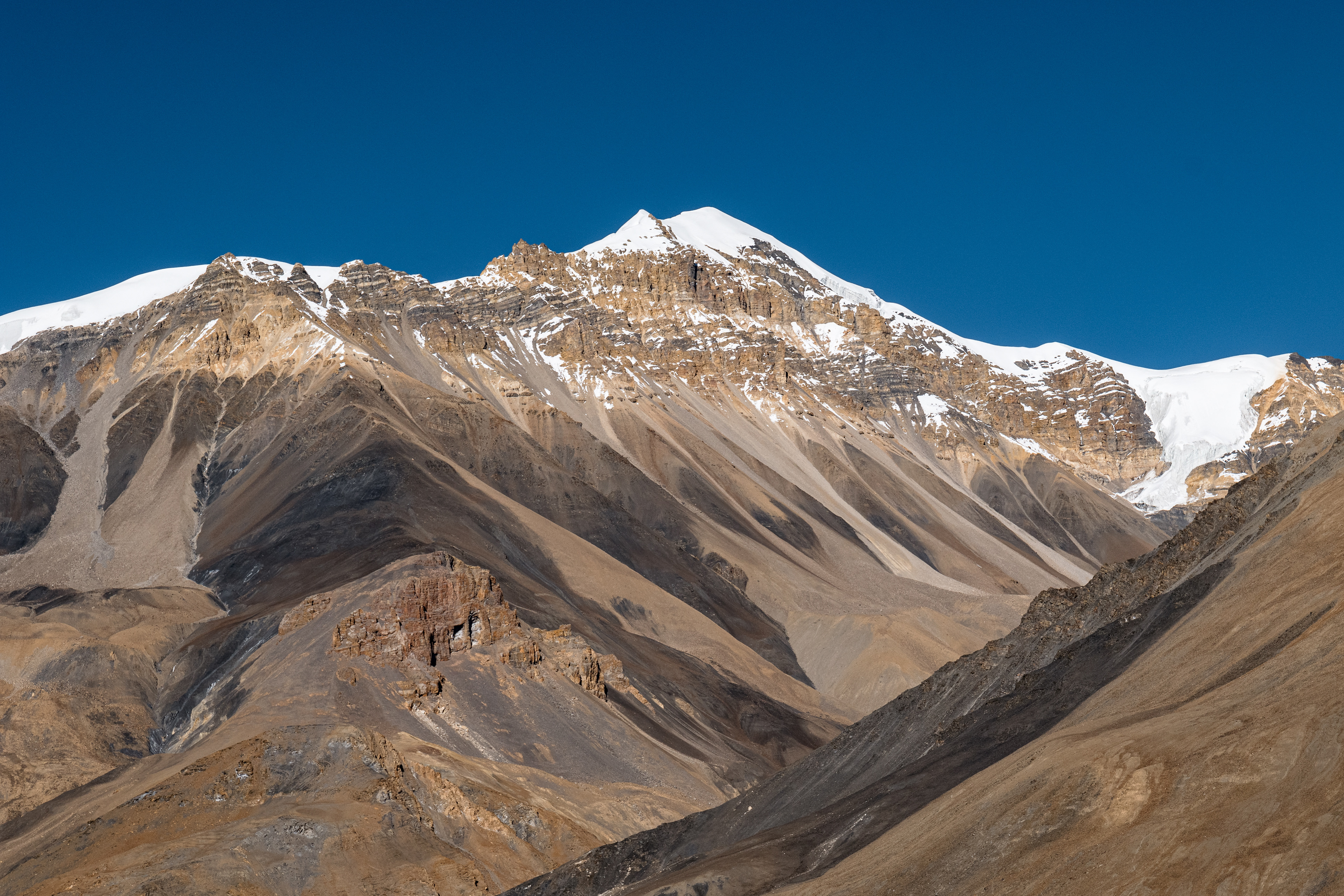
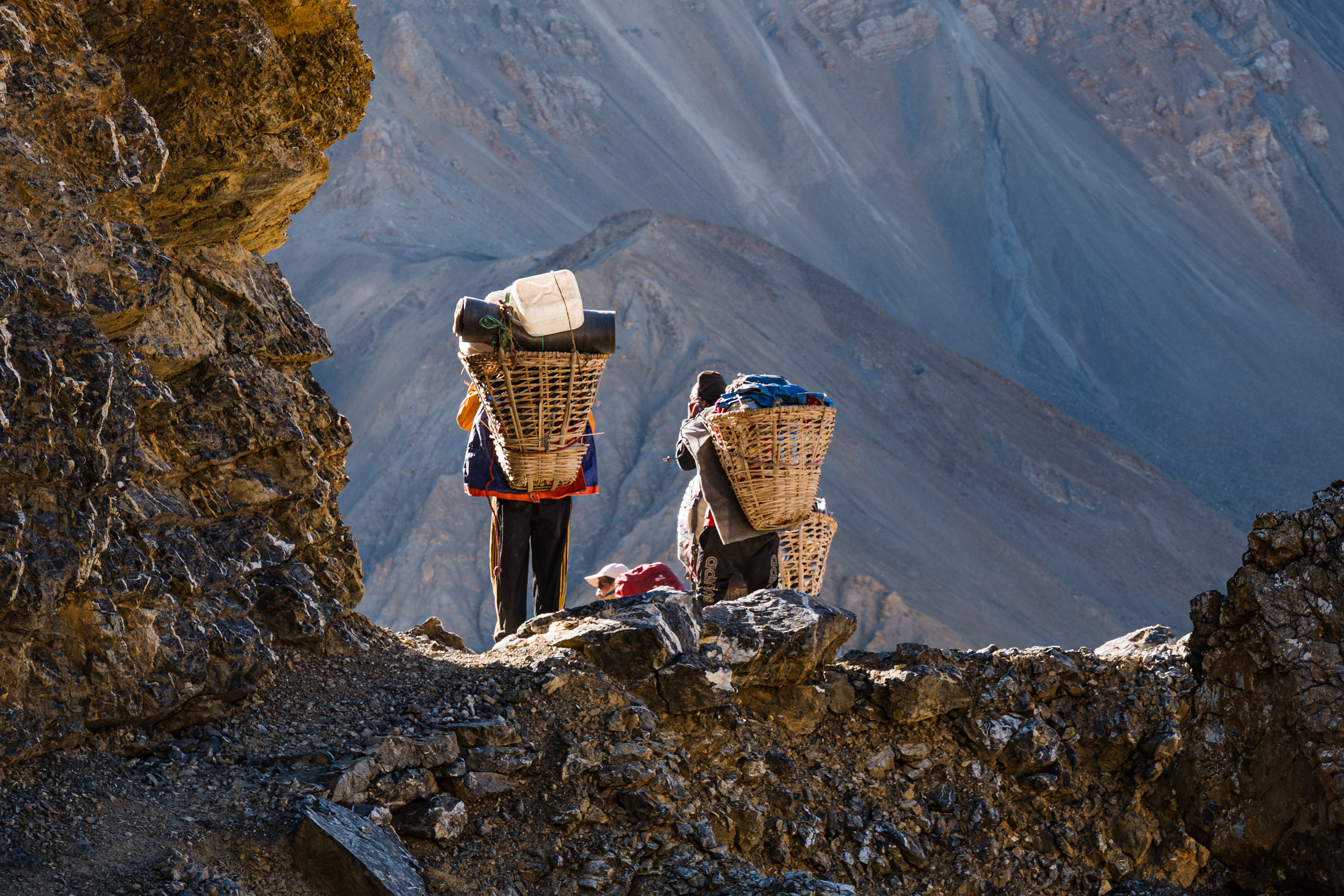
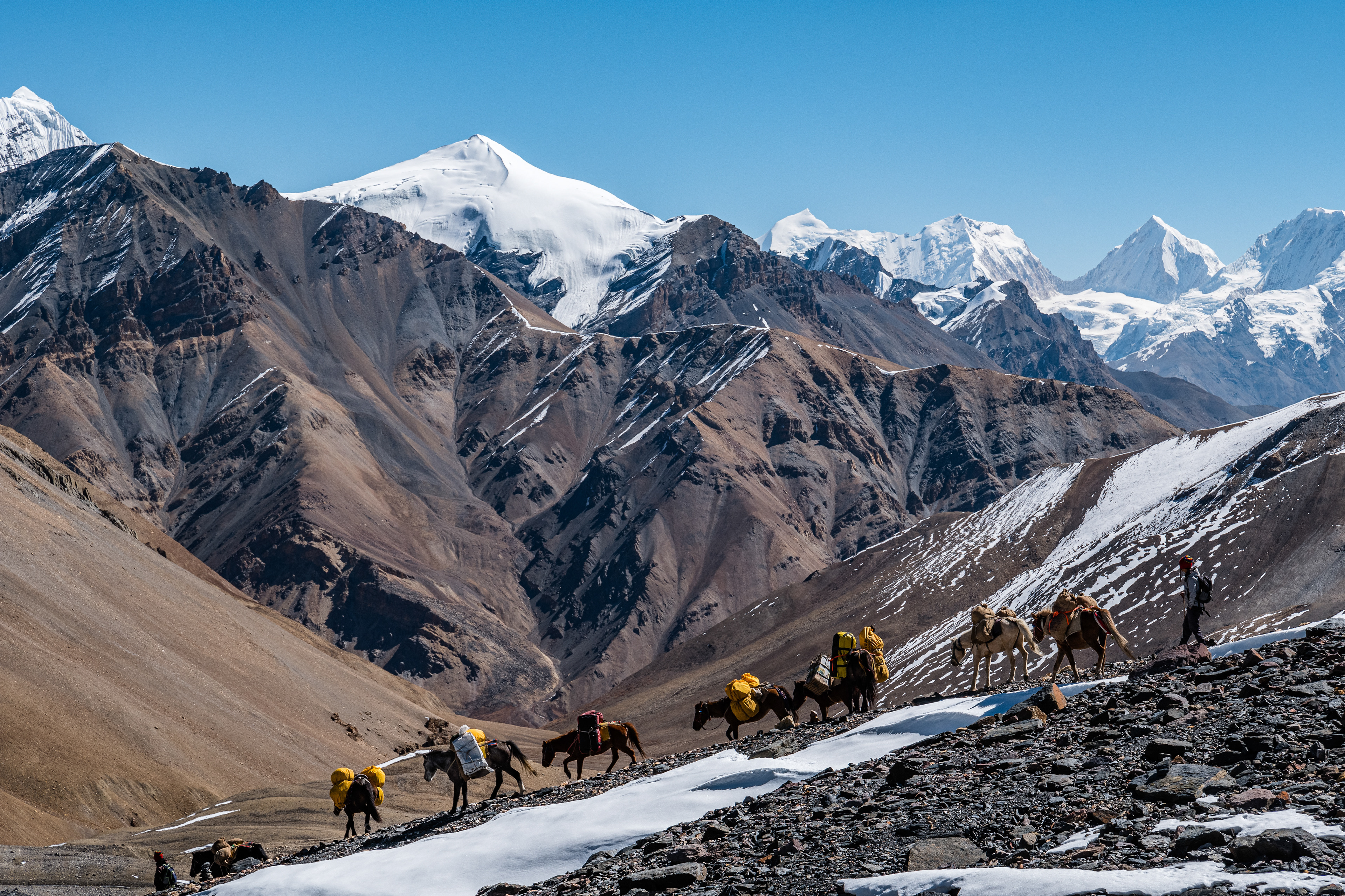
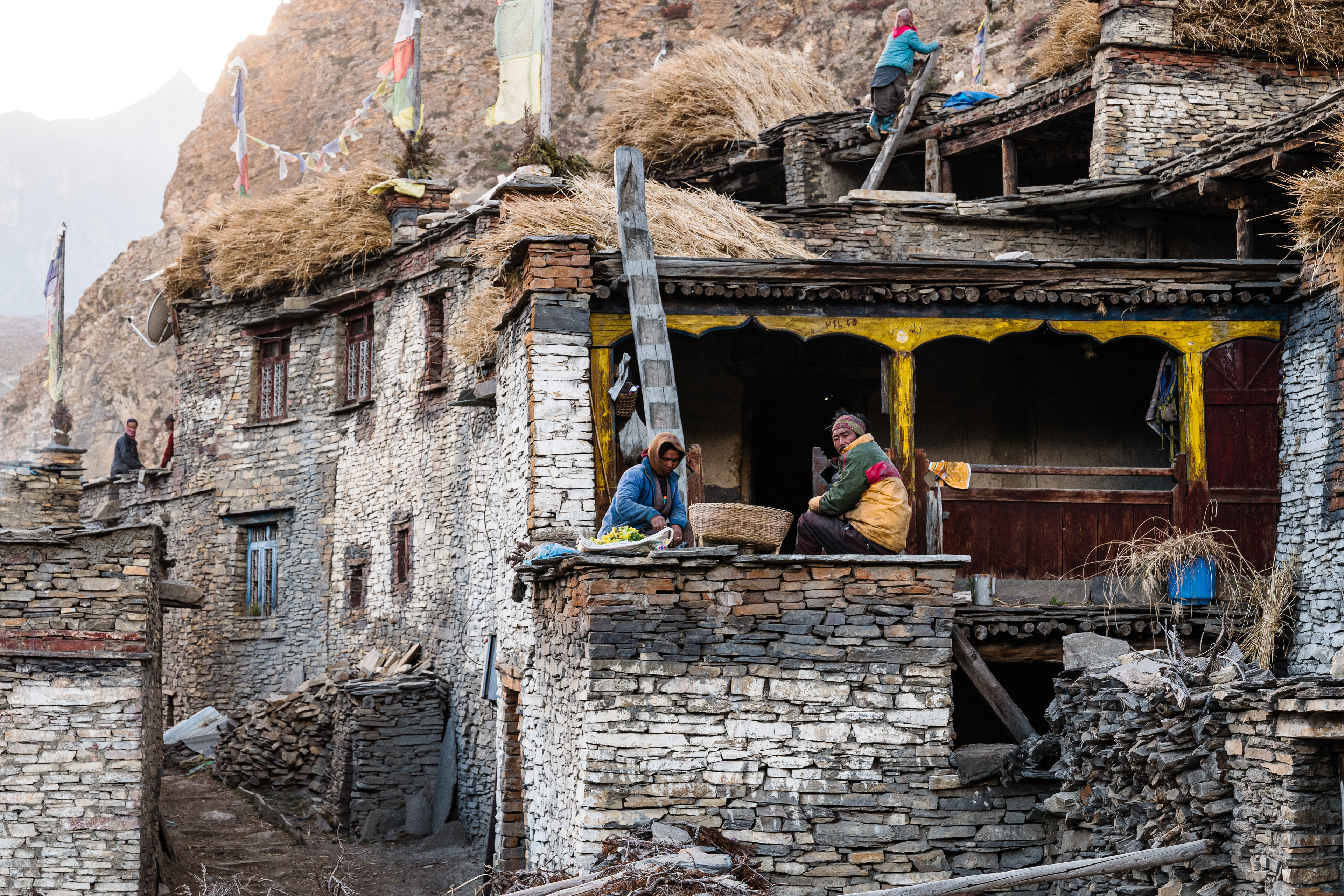
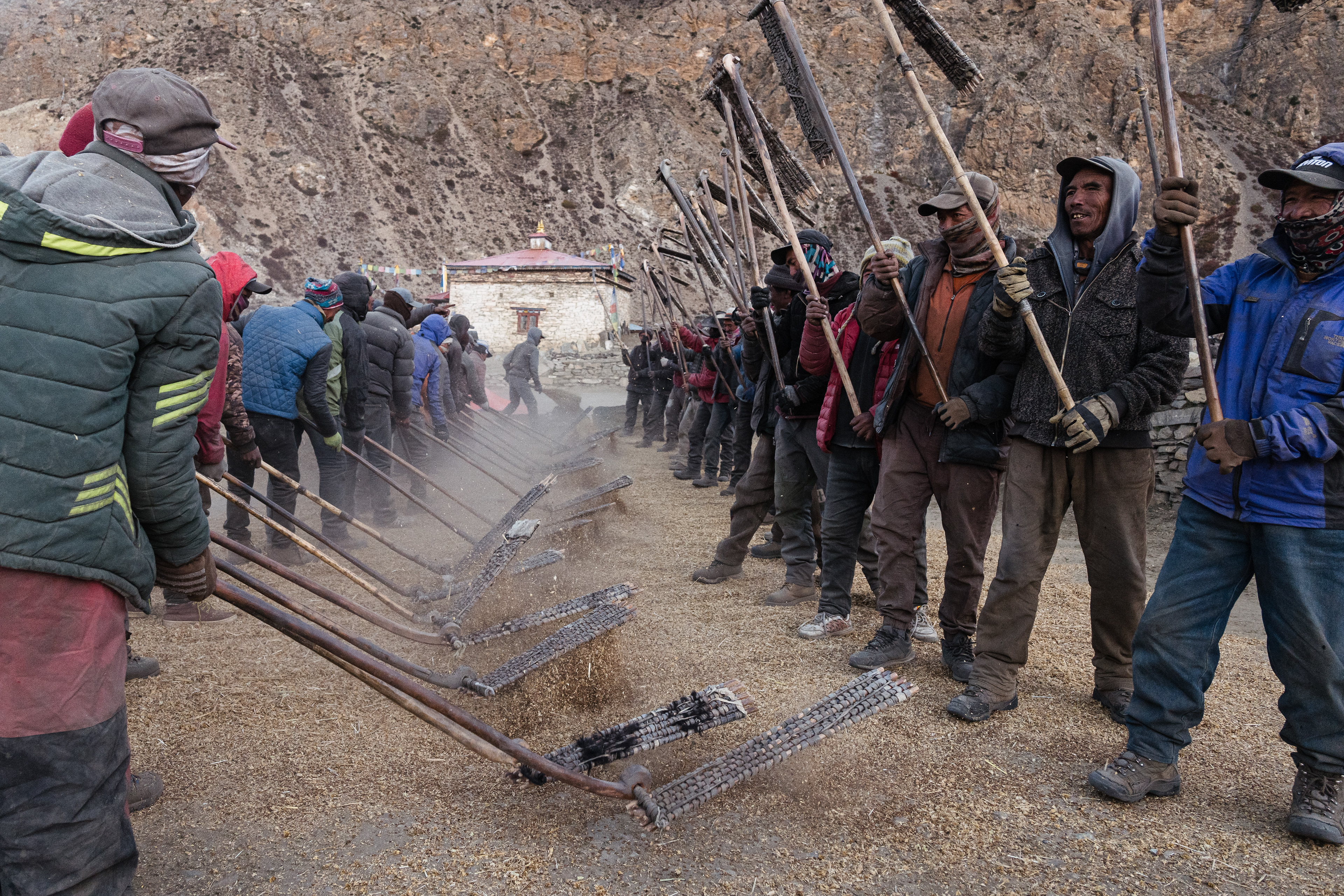
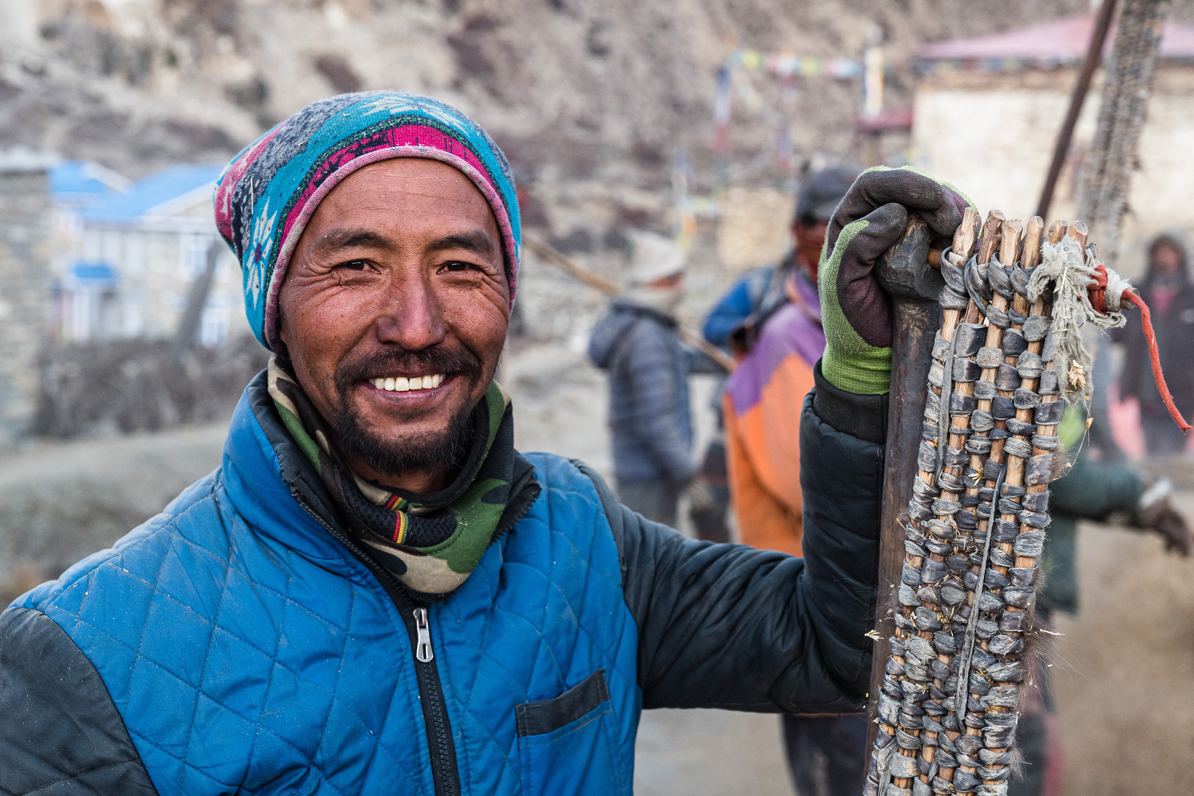
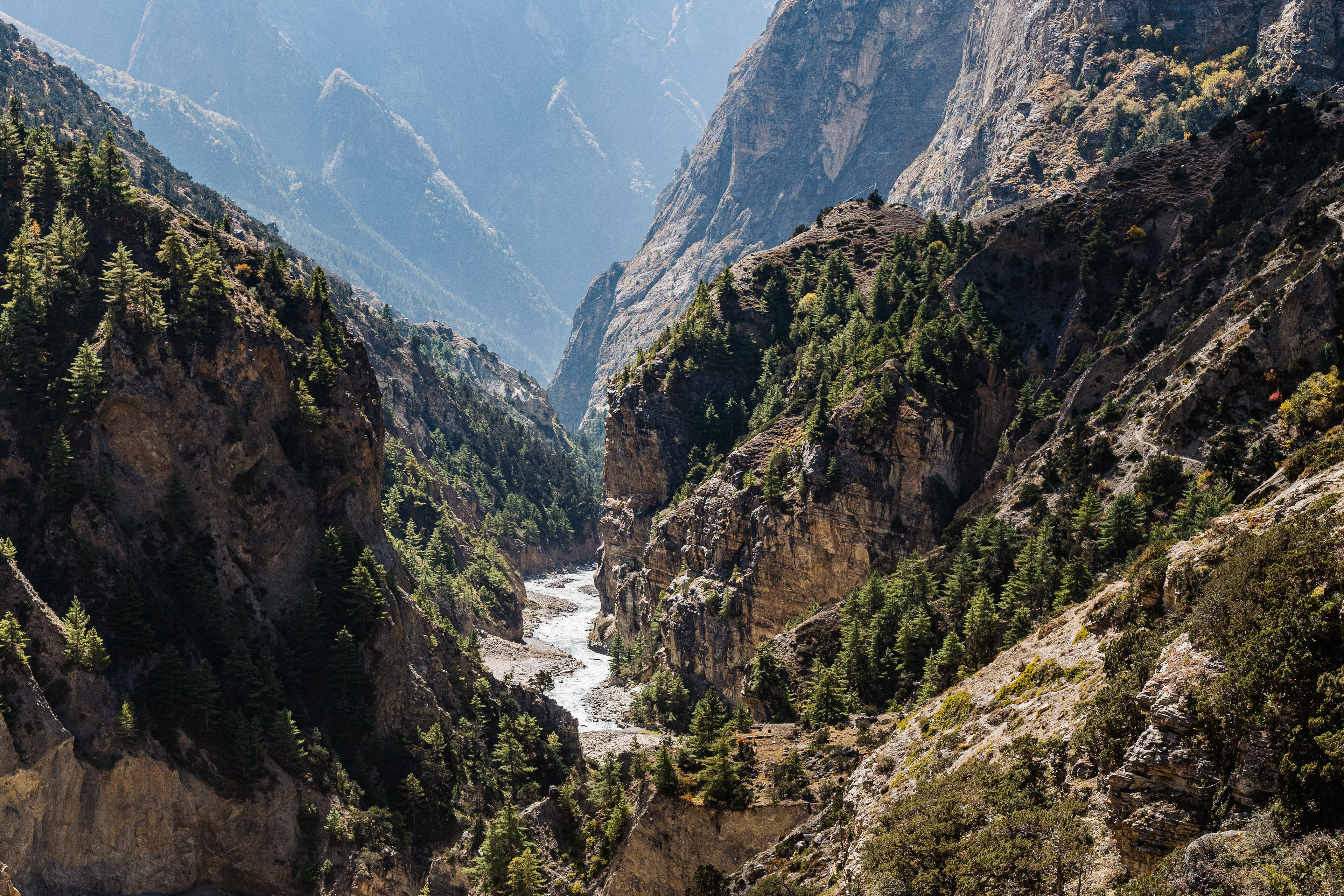
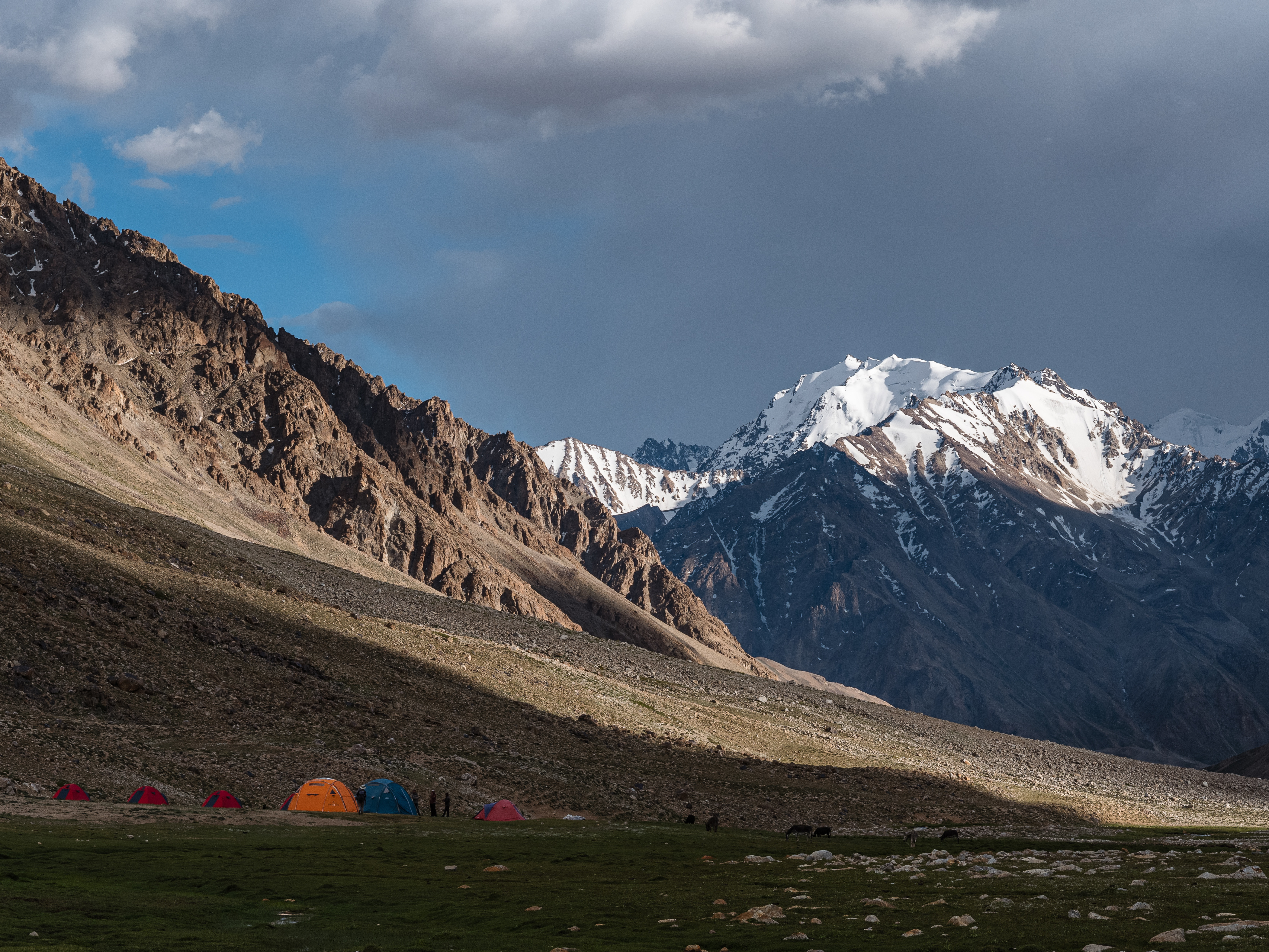
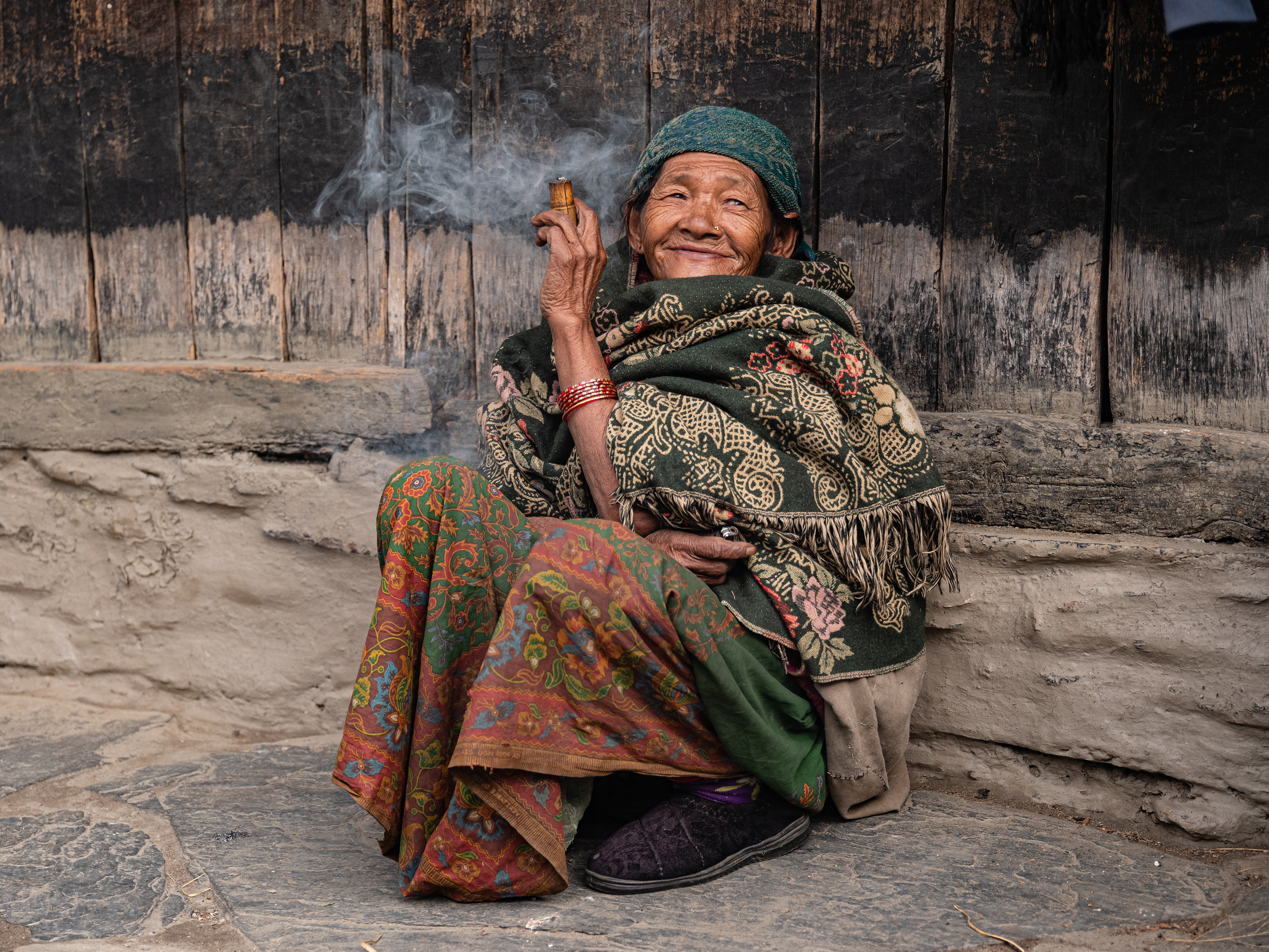
On the trek, we moved through sacred landscapes, saw ancient monasteries, villages with traditional architecture, and had many encounters with the locals. The trekking started in Jomsom and went along the legendary salt route to the capital Lo Manthang, which is surrounded by a medieval city wall. After our stay in the former royal city, we started our way back via a less known route east of the Kali Gandaki Gorge. At Tangye we left civilization and walked on a remote trail over the 5595 meters high Teri La and on to Nar. The endpoint of the trek was Koto, a village located on the famous Annapurna trek.